MyTopo
Cairo Illinois US Topo Map
Couldn't load pickup availability
Also explore the Cairo Forest Service Topo of this same quad for updated USFS data
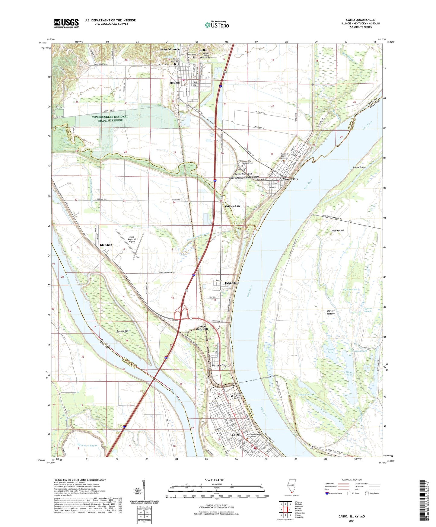
2024 topographic map quadrangle Cairo in the states of Illinois, Kentucky, Missouri. Scale: 1:24000. Based on the newly updated USGS 7.5' US Topo map series, this map is in the following counties: Alexander, Ballard, Pulaski, Mississippi. The map contains contour data, water features, and other items you are used to seeing on USGS maps, but also has updated roads and other features. This is the next generation of topographic maps. Printed on high-quality waterproof paper with UV fade-resistant inks.
Quads adjacent to this one:
West: Cache
Northwest: Tamms
North: Pulaski
Northeast: Olmsted
East: Barlow
Southeast: Wickliffe
South: Wyatt
Southwest: Charleston
Contains the following named places: Adventist Chapel, Alexander County Courthouse, Alexander County Sheriff's Office, Beechwood Cemetery, Bennett Elementary School, Big Lake Bayou, Boston Bar, Cache Island, Cache River, Cairo, Cairo Auxiliary Fire Department, Cairo Baptist Church, Cairo Congregation of Jehovahs Witnesses, Cairo Election Precinct, Cairo Fire Department, Cairo High School, Cairo Historic District, Cairo Junction, Cairo Junior High School, Cairo Police Department, Cairo Post Office, Cairo Public Library, Cairo Regional Airport, Christ Temple Church of God in Christ, Church of Christ, Church of God, City of Cairo, City of Mound City, City of Mounds, Community Health and Emergency Services, Cottonwood Slough, Cross Slough, Cypress Slough, Douglas Public School, East Cairo, Elmwood Place, Elwood School, Emerson Elementary School, Everdale Missionary Baptist Church, First Baptist Church, First Christian Church, First Church of God in Christ, First Lake, First Presbyterian Church, First Southern Baptist Church, Future City, Garrison School, Golden Lily, Grassy Lake, Green Lawn Memorial Gardens, Halliday Park, Hess Bayou, Holy City Church of God in Christ, Holy Temple Non Denominational Church, Immanuel Baptist Church, Immanuel Lutheran Church, Kilgore School, Kingdom Hall, Klondike, Lincoln School, Long Pond, Martin Temple Christian Methodist Episcopal Church, Minor Lake, Montefiore Temple, Morning Star Freewill Baptist Church, Mound City, Mound City Election Precinct, Mound City Fire Department, Mound City National Cemetery, Mound City Post Office, Mounds, Mounds Election Precinct, Mounds Police Department, Mounds Post Office, Mounds Volunteer Fire Department, Mount Moriah Baptist Church, Mount Union Baptist Church, New Hope Freewill Baptist Church, North Mounds, Pulaski County Sheriff's Office, Saint Joseph School, Saint Josephs Roman Catholic Church, Saint Marys Cemetery, Saint Marys Hospital, Saint Marys Park, Saint Michaels Academy, Saint Michaels Church, Sandy Slough, Second Free Baptist Church, Second Lake, Spencer Heights Memorial Cemetery, Sumner High School, Terrel Landing, Thompson Bend School, Tigert Memorial United Methodist Church, Twin Mounds, Twin Ponds, Urbandale, Ward Chapel African Methodist Episcopal Church, Washington Avenue Baptist Church, Washington Junior High School, WKRO-AM (Cairo), Woodrow School, ZIP Codes: 62914, 62963


