MyTopo
Elwood Illinois US Topo Map
Couldn't load pickup availability
Also explore the Elwood Forest Service Topo of this same quad for updated USFS data
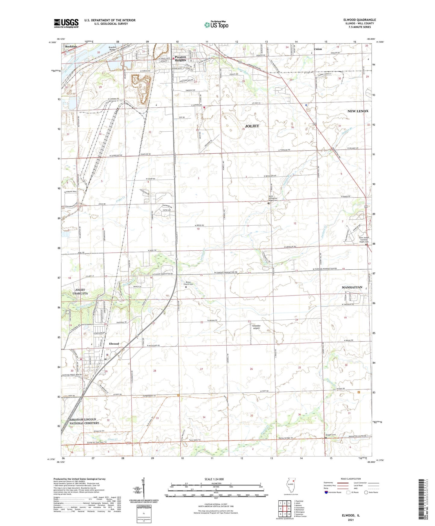
2024 topographic map quadrangle Elwood in the state of Illinois. Scale: 1:24000. Based on the newly updated USGS 7.5' US Topo map series, this map is in the following counties: Will. The map contains contour data, water features, and other items you are used to seeing on USGS maps, but also has updated roads and other features. This is the next generation of topographic maps. Printed on high-quality waterproof paper with UV fade-resistant inks.
Quads adjacent to this one:
West: Channahon
Northwest: Plainfield
North: Joliet
Northeast: Mokena
East: Manhattan
Southeast: Wilton Center
South: Symerton
Southwest: Wilmington
This map covers the same area as the classic USGS quad with code o41088d1.
Contains the following named places: Brandon Bridge, Brown Church Cemetery, Brown School, Center School, East Joliet Fire Protection District Station 2, Eaton School, Elwood, Elwood Community Church, Elwood Community Consolidated School, Elwood Fire Protection District, Elwood Police Department, Elwood Post Office, Erickson Park, Glasscock Farms, Good Shepherd Church, Gurney School, Jackson Branch, Joliet Country Club, Joliet Fire Department Station 3, Joliet Generating Station, Klingler Cemetery, Laraway Elementary School, Lower Ridge School, Midewin National Tallgrass Prairie, Mount Zion Baptist Church, North Providence Ridge Cemetery, North Ridge School, Oak Valley Park, Oak Villa School, Offerman School, Plaines Station, Preston Heights, Preston Heights Census Designated Place, Rose Hill School, Saint Joseph Guardian Angels Cemetery, School Number 68, Sugar Creek County Forest Preserve, Sweedler Airport, Township of Jackson, Troutman Grove School, Union, Union Elementary School, Wilhelmi Field, Wilhelmi School, Will County Sheriff's Office Public Safety Complex, Zalor County Forest Preserve, ZIP Codes: 60421, 60433