MyTopo
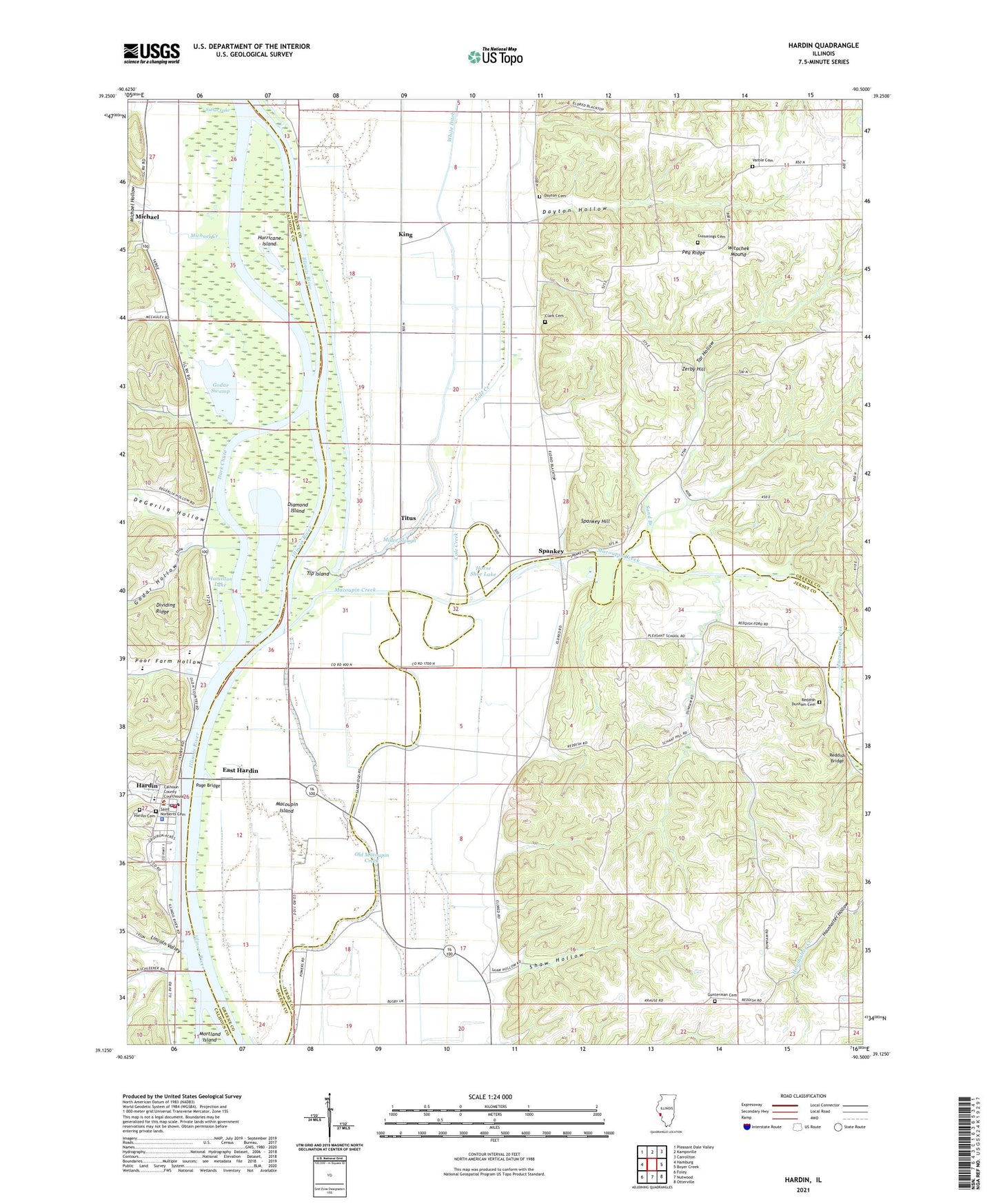
Hardin Illinois US Topo Map
Couldn't load pickup availability
2024 topographic map quadrangle Hardin in the state of Illinois. Scale: 1:24000. Based on the newly updated USGS 7.5' US Topo map series, this map is in the following counties: Greene, Jersey, Calhoun. The map contains contour data, water features, and other items you are used to seeing on USGS maps, but also has updated roads and other features. This is the next generation of topographic maps. Printed on high-quality waterproof paper with UV fade-resistant inks.
Quads adjacent to this one:
West: Hamburg
Northwest: Pleasant Dale Valley
North: Kampsville
Northeast: Carrollton
East: Boyer Creek
Southeast: Otterville
South: Nutwood
Southwest: Foley
This map covers the same area as the classic USGS quad with code o39090b5.
Contains the following named places: Calhoun County Ambulance Service, Calhoun County Sheriff's Office, Calhoun Elementary School, Calhoun High School, Clark Cemetery, Cole Creek, Crater Creek, Crater School, Cummings Cemetery, Dark Chute, Dayton Cemetery, Dayton Hollow, De Gerlia School, DeGerlia Hollow, Diamond Island, Diamond Island Public Access Area, Diamond-Hurricane Island State Fish and Waterfowl Management Area, East Hardin, Eldred Levee, Forest Oak School, Godar Hollow, Godar Swamp, Gunterman Cemetery, Gunterman School, Hamilton Lake, Hardin, Hardin Election Precinct, Hardin Fire Protection District, Hardin Post Office, Harper Landing, Horse Shoe Lake, Hurricane Island, King, Light Chute, Lincoln Valley, Macoupin Creek, Macoupin Island, McMaster Woods Nature Preserve, Michael, Michael Creek, Michael Hollow, Michael Landing Public Access, Michael Post Office, Miller Slough, North Lincoln School, Nutwood Levee, Old Macoupin Creek, Page Bridge, Pea Ridge, Pecan Grove School, Pleasant Hill School, Pleasantdale School, Poor Farm Hollow, Reddish, Reddish Bridge, Reddish Dunham Cemetery, Reddish School, Sand Branch, Shaw Hollow, Sievers Quarry, South Lincoln School, Spankey, Spankey Hill, Tar Hollow, Tip Island, Titus, Township of Richwood, Township of Woodville, Varble Cemetery, Village of Hardin, West Lincoln School, White Ditch, Witachek Mound, Zerby Hill, ZIP Code: 62027


