MyTopo
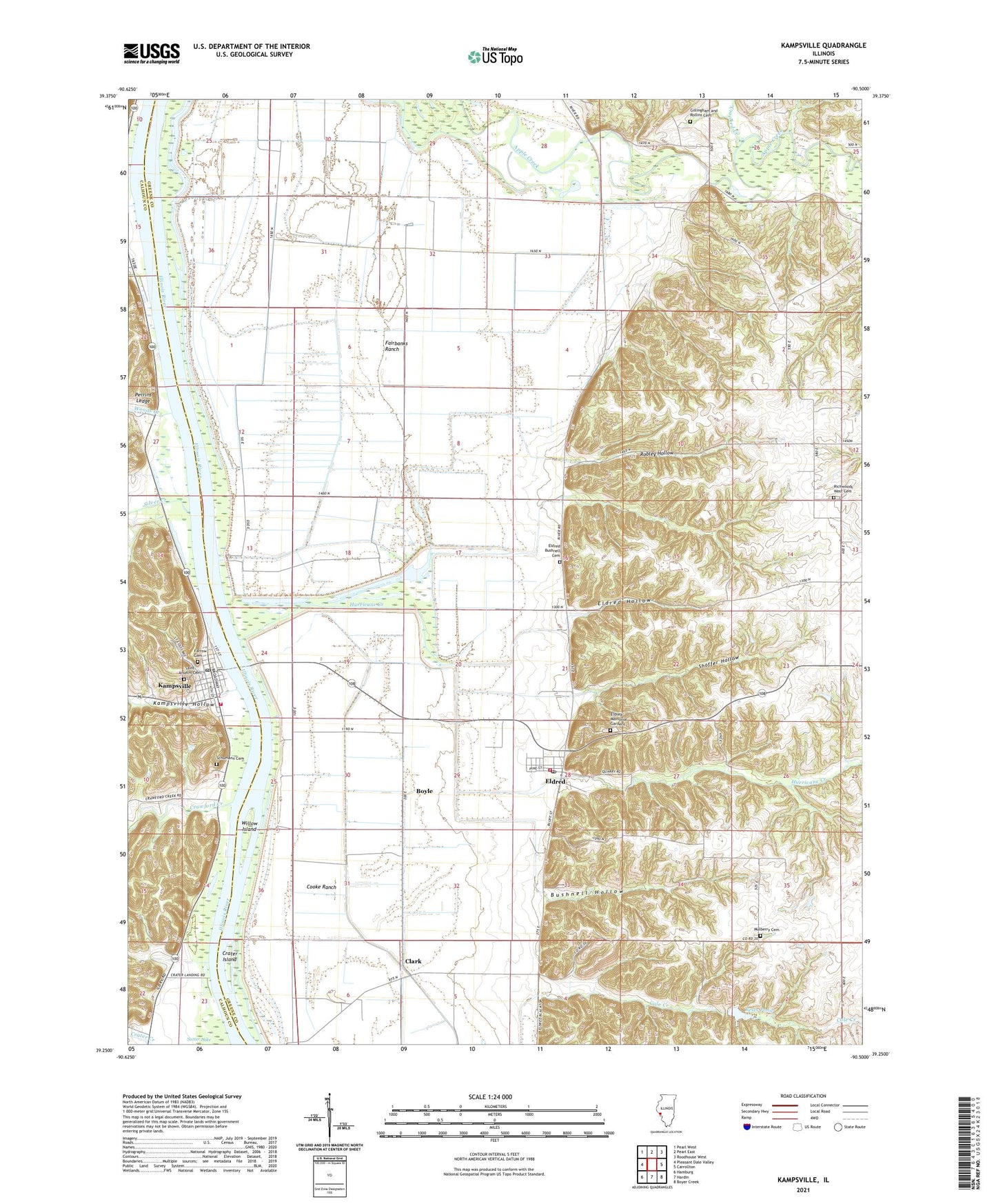
Kampsville Illinois US Topo Map
Couldn't load pickup availability
2024 topographic map quadrangle Kampsville in the state of Illinois. Scale: 1:24000. Based on the newly updated USGS 7.5' US Topo map series, this map is in the following counties: Greene, Calhoun. The map contains contour data, water features, and other items you are used to seeing on USGS maps, but also has updated roads and other features. This is the next generation of topographic maps. Printed on high-quality waterproof paper with UV fade-resistant inks.
Quads adjacent to this one:
West: Pleasant Dale Valley
Northwest: Pearl West
North: Pearl East
Northeast: Roodhouse West
East: Carrollton
Southeast: Boyer Creek
South: Hardin
Southwest: Hamburg
This map covers the same area as the classic USGS quad with code o39090c5.
Contains the following named places: Apple Creek, Bests Pond, Bests Pond Dam, Boyle, Bushnell Hollow, Calhoun Junior High School, Christian Grove School, Clark, Columbiana, Columbiana School, Cooke Ranch, Crater Island, Crater Landing, Crawford Creek, Crooked Creek, East Panther Creek, Eldred, Eldred Bushnell Cemetery, Eldred Fire Department, Eldred Hollow, Eldred Memorial Gardens, Eldred Post Office, Fairbanks Pumping Station, Fairbanks Ranch, Farrow Cemetery, Gillingham and Rollins Cemetery, Haypress, Herschberger Landing Strip, Hurricane Creek, Kampsville, Kampsville Hollow, Kampsville Landing, Kampsville Post Office, Keach School, Langes Landing, Mulberry Cemetery, North Calhoun Fire Protection District Station 1, Pacific Union School, Perrins Ledge, Potato Prairie Lake, Retzers Landing, Richwoods School, Richwoods West Cemetery, Robley Hollow, Robley School, Saint Anselm Cemetery, Schumann Cemetery, Shaffer Hollow, Silver Creek, Sutter Lake, The Adwell Corporation Airport, Township of Bluffdale, Village of Eldred, Village of Kampsville, Webbs Landing, Willow Island, Woods Creek


