MyTopo
Hindsboro Illinois US Topo Map
Couldn't load pickup availability
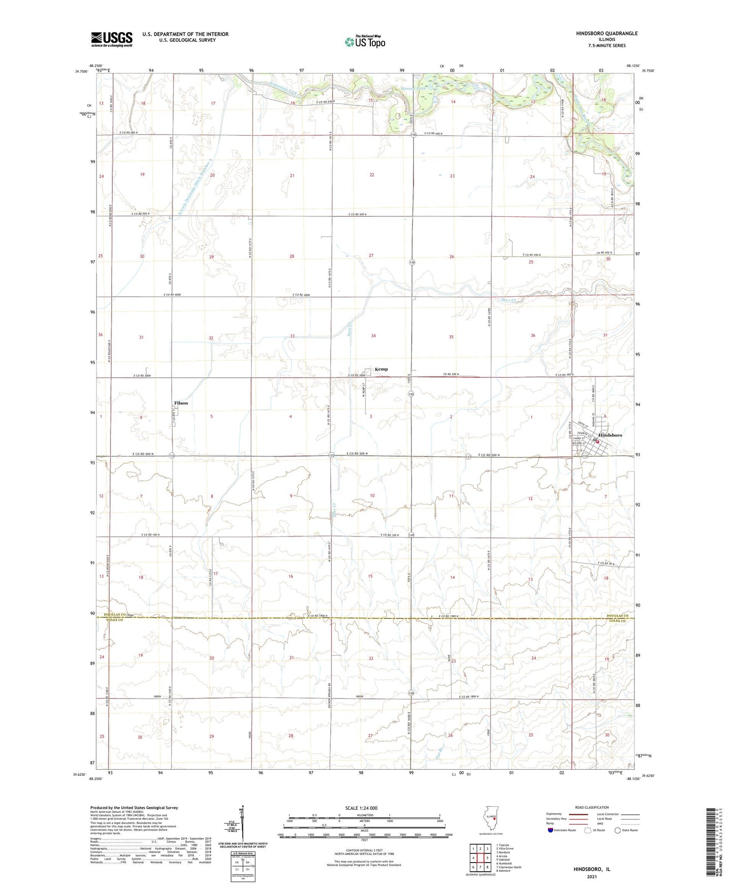
2024 topographic map quadrangle Hindsboro in the state of Illinois. Scale: 1:24000. Based on the newly updated USGS 7.5' US Topo map series, this map is in the following counties: Douglas, Coles. The map contains contour data, water features, and other items you are used to seeing on USGS maps, but also has updated roads and other features. This is the next generation of topographic maps. Printed on high-quality waterproof paper with UV fade-resistant inks.
Quads adjacent to this one:
West: Arcola
Northwest: Tuscola
North: Villa Grove
Northeast: Murdock
East: Oakland
Southeast: Ashmore
South: Charleston North
Southwest: Humboldt
This map covers the same area as the classic USGS quad with code o39088f2.
Contains the following named places: Arcola Drainage Ditch Number 4, Ashland School, Chocktaw School, Dickey School, Dry Point School, Duffle School, Eversole School, Filson, Filson Post Office, Filson School, Hemingway School, Henson Pond, Hindsboro, Hindsboro Christian Church, Hindsboro Community Fire Protection District, Hindsboro Post Office, Kemp, Kemp Post Office, Mount Gilead United Methodist Church, Scattering Fork, Shiloh School, Town Line School, Township of Bowdre, Village of Hindsboro, Wheatley School, ZIP Code: 61930