MyTopo
Lewistown Illinois US Topo Map
Couldn't load pickup availability
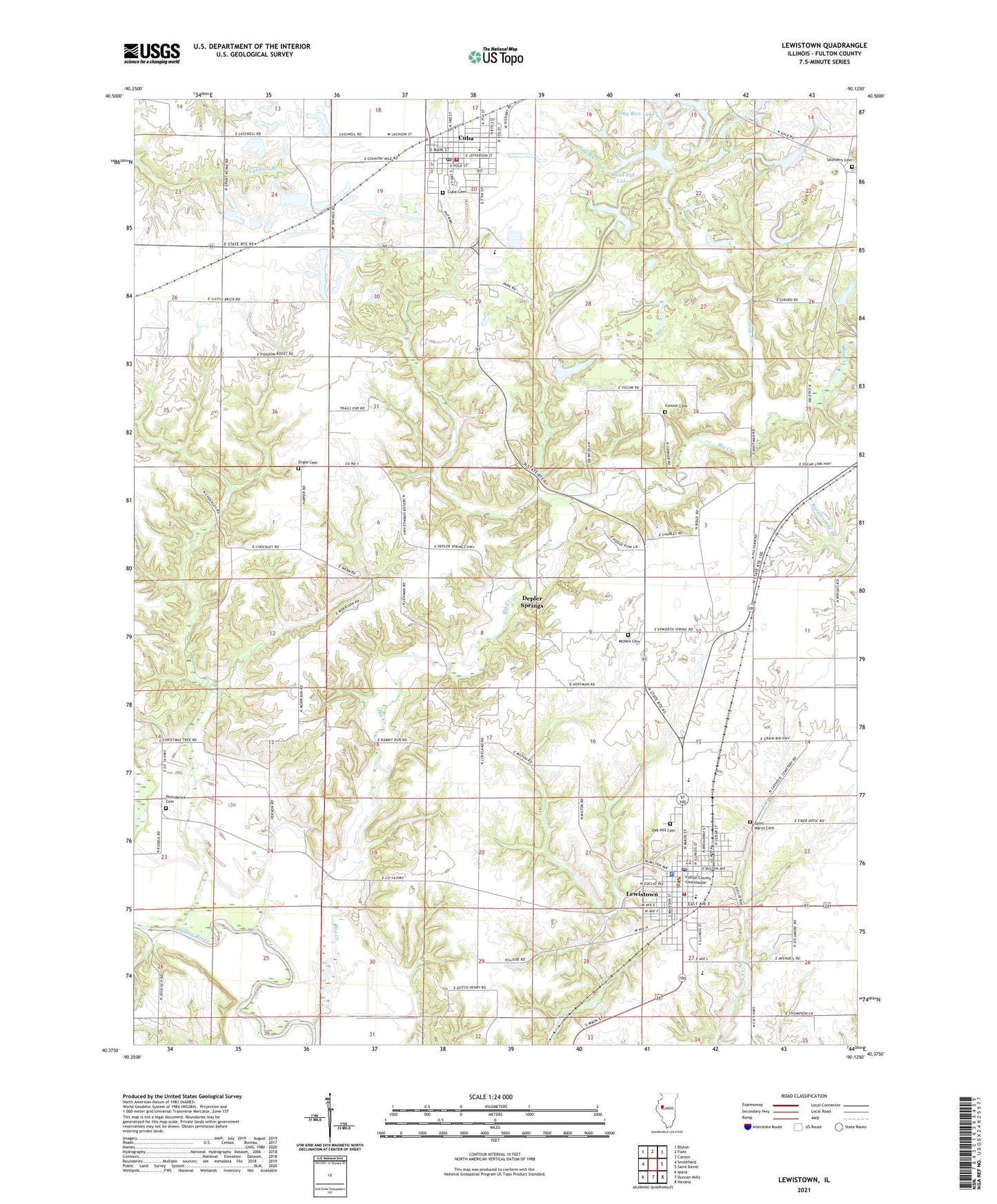
2024 topographic map quadrangle Lewistown in the state of Illinois. Scale: 1:24000. Based on the newly updated USGS 7.5' US Topo map series, this map is in the following counties: Fulton. The map contains contour data, water features, and other items you are used to seeing on USGS maps, but also has updated roads and other features. This is the next generation of topographic maps. Printed on high-quality waterproof paper with UV fade-resistant inks.
Quads adjacent to this one:
West: Smithfield
Northwest: Blyton
North: Fiatt
Northeast: Canton
East: Saint David
Southeast: Havana
South: Duncan Mills
Southwest: Ipava
This map covers the same area as the classic USGS quad with code o40090d2.
Contains the following named places: Antioch School, Big Creek, Bishop School, Carthage Lake Number 1, Carthage Lake Number 1 Dam, City of Cuba, City of Lewistown, Connor Cemetery, Cuba, Cuba Cemetery, Cuba Elementary School, Cuba Fire Protection District, Cuba Police Department, Cuba Post Office, Cuba Senior High School, Depler Springs, Engle Cemetery, Ewan School, Fred School, Fulton County, Fulton County Courthouse, Fulton County Fairgrounds, Fulton County Jail, Fulton County Sheriff's Office, Hulick School, Hulvey School, Lewistown, Lewistown Carnegie Public Library, Lewistown Church of the Nazarene, Lewistown Community High School, Lewistown Police Department, Lewistown Post Office, Lewistown Volunteer Fire Protection District, Liberty School, McNally Grade School, McNeil Cemetery, McNeil Church, MSDGC Dam Number 3, MSDGC Dam Number 5, MSDGC Dam Number 6, MSDGC Dam Number 7, MSDGC Dam Number 8, MSDGC Dam Number 9, Oak Grove School, Oak Hill Cemetery, Painters School, Phillips Station, Providence Cemetery, Providence Church, Road Fill Lake, Road Fill Lake Dam, Saint James Episcopal Church, Saint Marys Cemetery, Saunders Cemetery, Shriber School, Slug Run, Slug Run Lake, Slug Run Lake Dam, Spoon River Public Library, Sugar Grove School, Township of Lewistown, Township of Putman, ZIP Code: 61542


