MyTopo
Oblong South Illinois US Topo Map
Couldn't load pickup availability
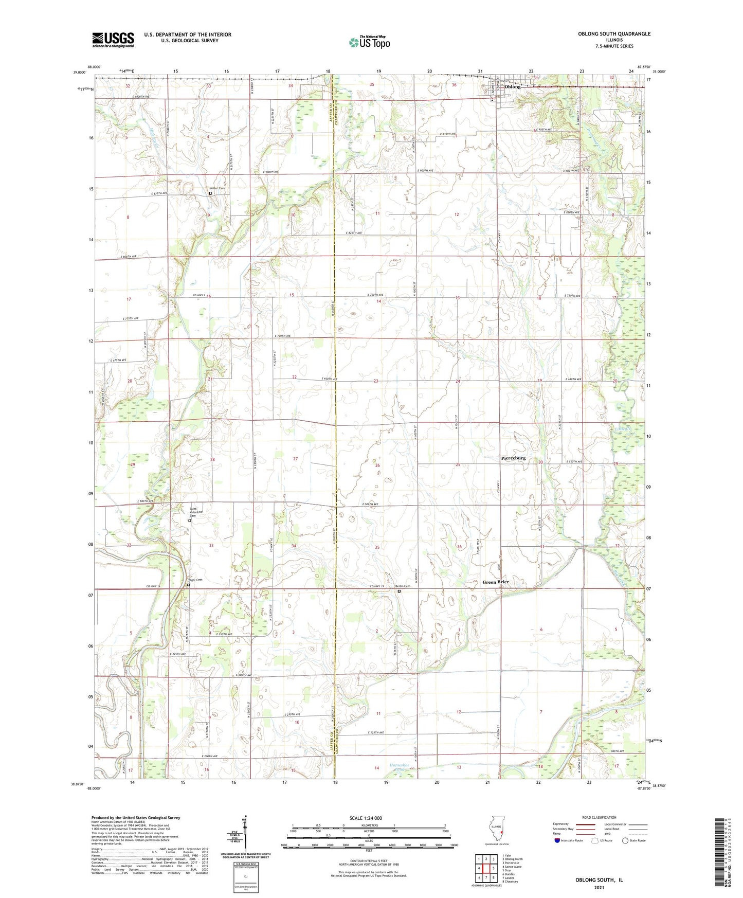
2024 topographic map quadrangle Oblong South in the state of Illinois. Scale: 1:24000. Based on the newly updated USGS 7.5' US Topo map series, this map is in the following counties: Crawford, Jasper. The map contains contour data, water features, and other items you are used to seeing on USGS maps, but also has updated roads and other features. This is the next generation of topographic maps. Printed on high-quality waterproof paper with UV fade-resistant inks.
Quads adjacent to this one:
West: Sainte Marie
Northwest: Yale
North: Oblong North
Northeast: Porterville
East: Stoy
Southeast: Chauncey
South: Landes
Southwest: Dundas
This map covers the same area as the classic USGS quad with code o38087h8.
Contains the following named places: Altman School, Bend School, Berlin Cemetery, Berlin Congregational Church, Berlin School, Brush Creek, Circle Pond, Clark Farms, Dead River, Dogwood Creek, Freeport Creek, Goodwin Farms, Green Brier, Green Meadow Acres, Harris Farms, Hickory Creek, Horseshoe Pond, Kraus Farms, Lewis Farms, Little Creek, Lively School, Miller Cemetery, Newland School, North Fork Embarras River, Oblong High School, Pierceburg, Pingtown School, Pleasant Hill Farm, Pleasant Valley Church, Saint Valentine Cemetery, Saint Valentine Church, Sainte Marie Townhall, Seed Chapel, Wardtbaugh Farms, Watts School, Yager Cemetery, Yeager Ford, York Livestock Farms, ZIP Code: 62480


