MyTopo
Oraville Illinois US Topo Map
Couldn't load pickup availability
Also explore the Oraville Forest Service Topo of this same quad for updated USFS data
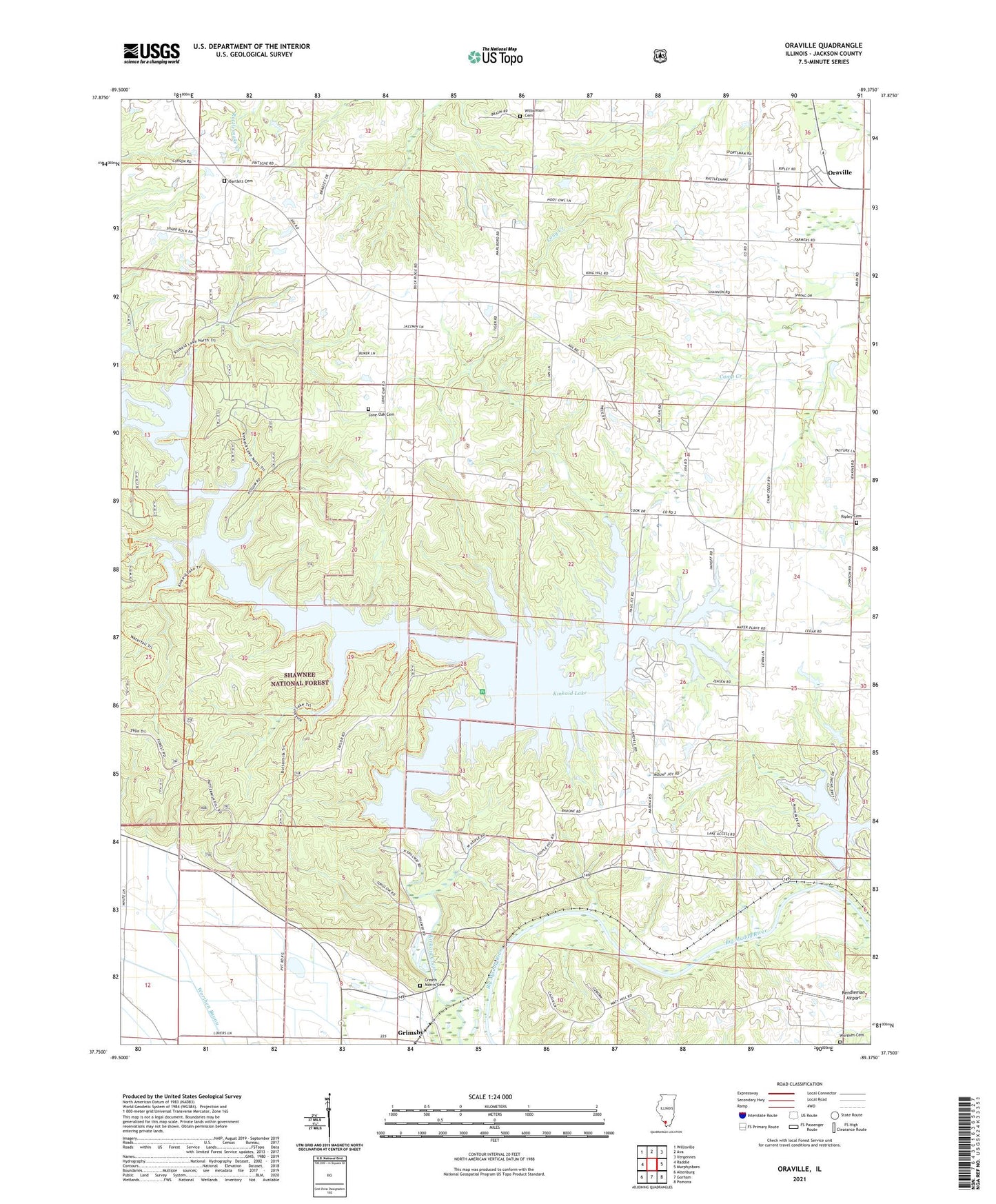
2024 topographic map quadrangle Oraville in the state of Illinois. Scale: 1:24000. Based on the newly updated USGS 7.5' US Topo map series, this map is in the following counties: Jackson. The map contains contour data, water features, and other items you are used to seeing on USGS maps, but also has updated roads and other features. This is the next generation of topographic maps. Printed on high-quality waterproof paper with UV fade-resistant inks.
Quads adjacent to this one:
West: Raddle
Northwest: Willisville
North: Ava
Northeast: Vergennes
East: Murphysboro
Southeast: Pomona
South: Gorham
Southwest: Altenburg
This map covers the same area as the classic USGS quad with code o37089g4.
Contains the following named places: Bald Knob Picnic Area, Bartlett Cemetery, Big Oak Campground, Buttermilk Hill Beach and Picnic Area, Camp Creek Baptist Church, Clear View Picnic Area, Creath Morris Cemetery, Crisenberry Dam, Glenn Schlimpert Recreation Area, Grimsby, Jackson County, Kinkaid Lake, Lake Murphysboro, Lake Murphysboro State Park, Lake Shore Drive Picnic Area, Levan Townhall, Lone Oak Cemetery, Mount Joy Church, Mount Pleasant Station, Oak Point Picnic Area, Oraville, Paul Ice Recreation Area, Pine Circle Picnic Area, Pleasant Hill Christian Church, Rendleman Airport, Ripley Cemetery, Shady Cove Picnic Area, Shady Rest Campground, Sharp Rock Falls Campground, Sodom School, Township of Levan, Union School, Walbieser School, Water Lily Campground, Williamson Cemetery, Worthen Cemetery, WXAN-FM (Ava), ZIP Code: 62907


