MyTopo
Saint Francisville Illinois US Topo Map
Couldn't load pickup availability
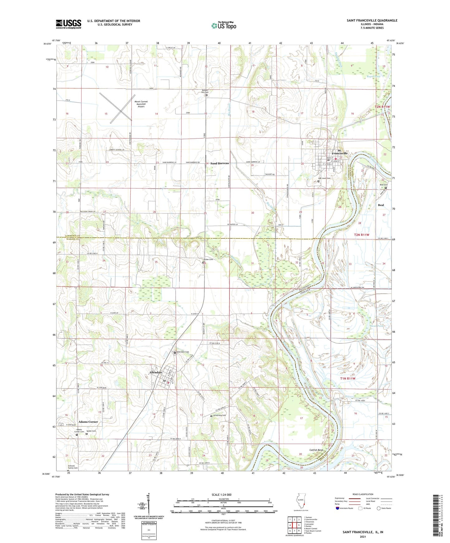
2024 topographic map quadrangle Saint Francisville in the states of Illinois, Indiana. Scale: 1:24000. Based on the newly updated USGS 7.5' US Topo map series, this map is in the following counties: Wabash, Lawrence, Knox. The map contains contour data, water features, and other items you are used to seeing on USGS maps, but also has updated roads and other features. This is the next generation of topographic maps. Printed on high-quality waterproof paper with UV fade-resistant inks.
Quads adjacent to this one:
West: Lancaster
Northwest: Sumner
North: Lawrenceville
Northeast: Vincennes
East: Decker
Southeast: Patoka
South: East Mount Carmel
Southwest: Mount Carmel
Contains the following named places: Adams Corner, Adams Corner Cemetery, Adams Corner United Methodist Church, Allendale, Allendale Cemetery, Allendale Elementary School, Allendale Post Office, Allendale Rural Fire Protection District, Allendale United Methodist Church, Armstrong Cemetery, Armstrong School, Beal, Beal Cemetery, Big Slough, Bloods Wood Crossing, Brevoort Levee, Bunker Hill Cemetery, Bunker Hill School, Catfish Bend, City of Saint Francisville, Denison Fire Protection District Station 1, Douglas School, First Christian Church, Free Methodist Church, Grass School, Jordan Cemetery, Liberty Church, Liberty School, McFarland School, Mount Carmel Municipal Airport, New Bethel Church, Oak Lawn Cemetery, Old Swan Pond Ditch, Raccoon Creek, Rapid Pond, River Deshee, Saint Francis Xavier Catholic Church, Saint Francisville, Saint Francisville Elementary School, Saint Francisville Post Office, Sand Barrens, Sand Barrens School, School Number 3, Simpson Church, Spidle Cemetery, Stillwell Family Cemetery, Swan Pond, Twin Bridges, Village of Allendale, Wabash Election Precinct, Wabash Pond, ZIP Codes: 62410, 62460


