MyTopo
Seymour Illinois US Topo Map
Couldn't load pickup availability
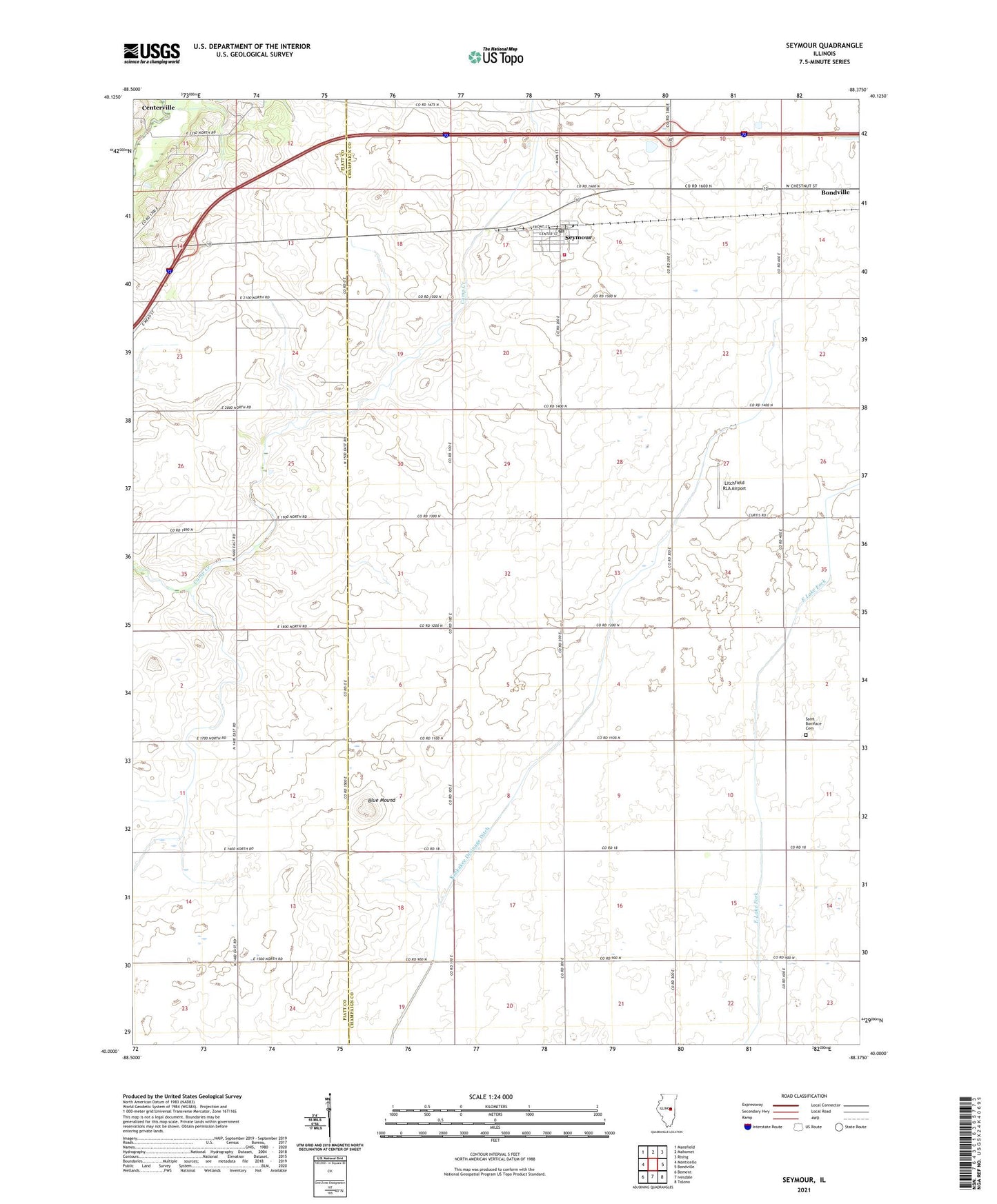
2024 topographic map quadrangle Seymour in the state of Illinois. Scale: 1:24000. Based on the newly updated USGS 7.5' US Topo map series, this map is in the following counties: Champaign, Piatt. The map contains contour data, water features, and other items you are used to seeing on USGS maps, but also has updated roads and other features. This is the next generation of topographic maps. Printed on high-quality waterproof paper with UV fade-resistant inks.
Quads adjacent to this one:
West: Monticello
Northwest: Mansfield
North: Mahomet
Northeast: Rising
East: Bondville
Southeast: Tolono
South: Ivesdale
Southwest: Bement
This map covers the same area as the classic USGS quad with code o40088a4.
Contains the following named places: Blue Mound, Centerville, Colfax Townhall, Giblin, Igoe Heliport, Kankakee Drainage Ditch, Litchfield RLA Airport, Saint Boniface Cemetery, Saint Boniface Church, Seymour, Seymour Census Designated Place, Seymour Post Office, Seymour Village Fire Department, Township of Colfax, Township of Scott, WCIA-TV (Champaign), ZIP Codes: 61815, 61875, 61884