MyTopo
Southeast Pontiac Illinois US Topo Map
Couldn't load pickup availability
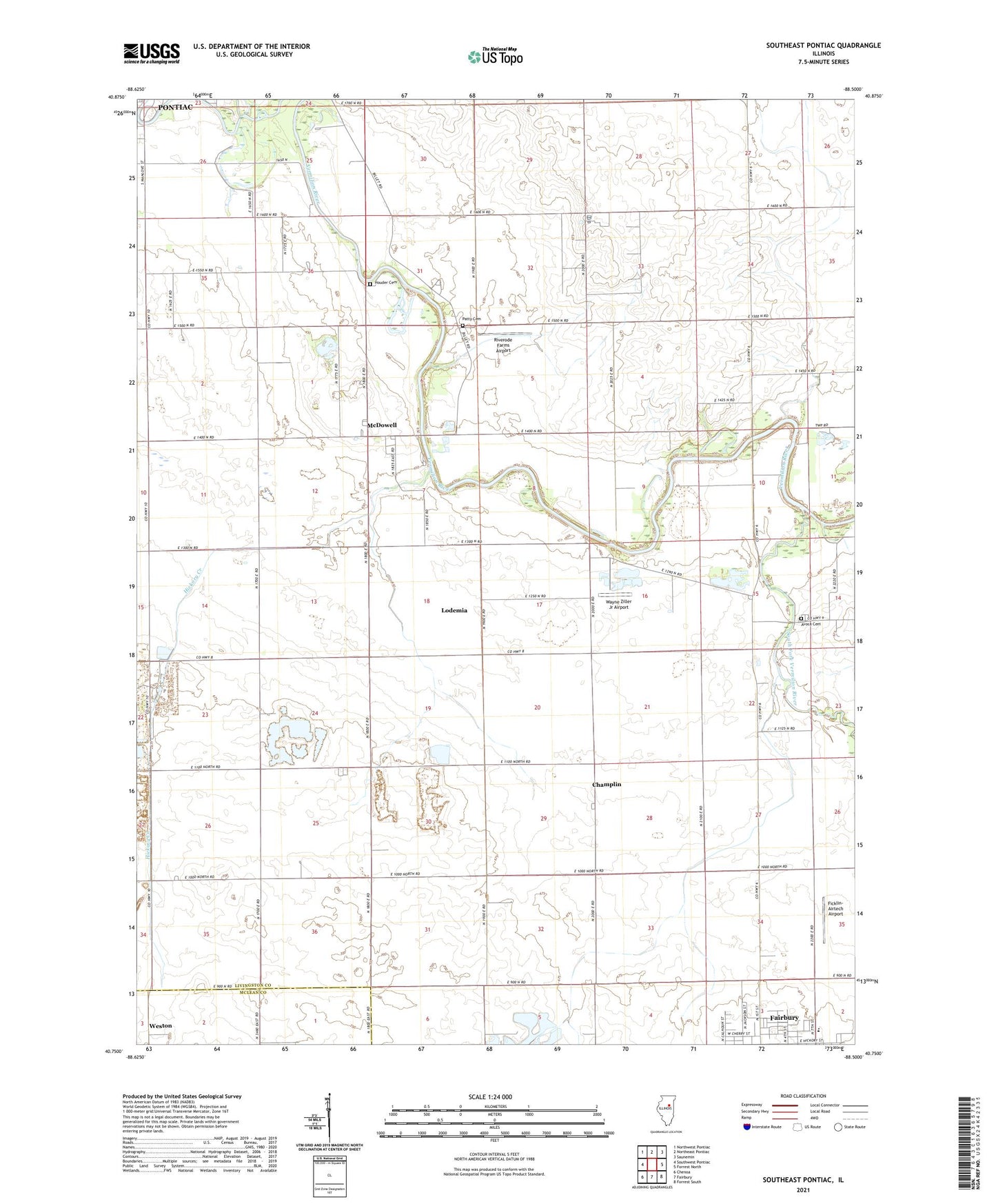
2024 topographic map quadrangle Southeast Pontiac in the state of Illinois. Scale: 1:24000. Based on the newly updated USGS 7.5' US Topo map series, this map is in the following counties: Livingston, McLean. The map contains contour data, water features, and other items you are used to seeing on USGS maps, but also has updated roads and other features. This is the next generation of topographic maps. Printed on high-quality waterproof paper with UV fade-resistant inks.
Quads adjacent to this one:
West: Southwest Pontiac
Northwest: Northwest Pontiac
North: Northeast Pontiac
Northeast: Saunemin
East: Forrest North
Southeast: Forrest South
South: Fairbury
Southwest: Chenoa
This map covers the same area as the classic USGS quad with code o40088g5.
Contains the following named places: Apostolic Christian Church, Avoca, Avoca Cemetery, Avoca Church, Avoca School, Bakers Corner School, Brick School, Brights Corner School, Camp-Humiston Pool, Champlin, Chautauqua Park, Fairbury Quarry, Ficklin-Airtech Airport, Frederick Landing Strip, Gilpin School, Grace Episcopal Church, Hickory Creek, Houder Cemetery, Lake Side School, Lodemia, Martimore School, McDowell, McDowell Methodist Church, Morrison School, Norman Rittenhouse Heliport, North Fork Vermilion River, Owega Church, Patty Cemetery, Pick Landing Strip, Prairie Central High School, Riverode Farms Airport, Smith Branch, South Fork Vermilion River, Taylor School, Township of Avoca, Wayne Ziller Jr Airport