MyTopo
Stavanger Illinois US Topo Map
Couldn't load pickup availability
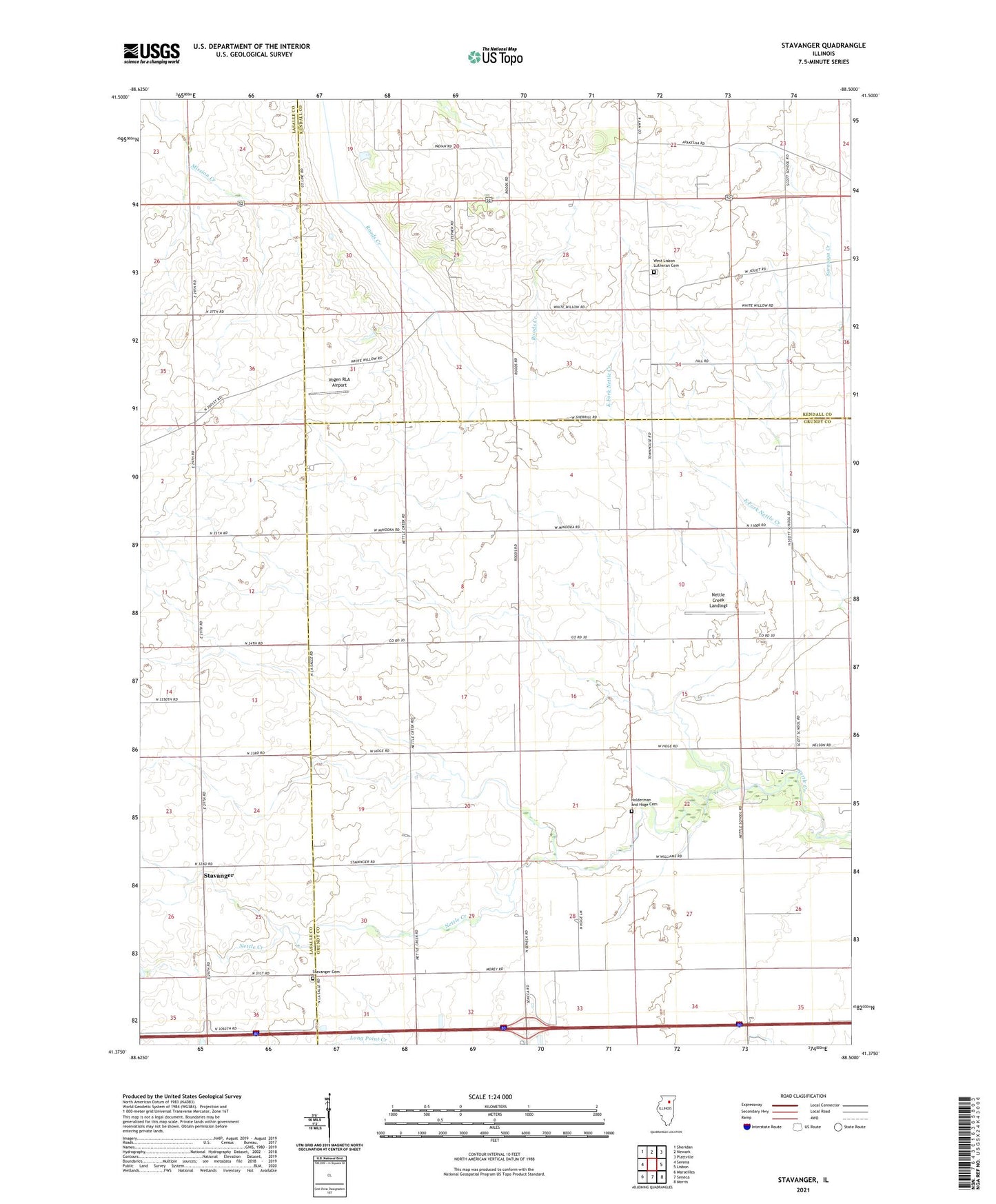
2024 topographic map quadrangle Stavanger in the state of Illinois. Scale: 1:24000. Based on the newly updated USGS 7.5' US Topo map series, this map is in the following counties: Grundy, Kendall, LaSalle. The map contains contour data, water features, and other items you are used to seeing on USGS maps, but also has updated roads and other features. This is the next generation of topographic maps. Printed on high-quality waterproof paper with UV fade-resistant inks.
Quads adjacent to this one:
West: Serena
Northwest: Sheridan
North: Newark
Northeast: Plattville
East: Lisbon
Southeast: Morris
South: Seneca
Southwest: Marseilles
This map covers the same area as the classic USGS quad with code o41088d5.
Contains the following named places: Apakeska Grove, Brown School, Cassem School, Collins Grove, Dix School, Forbes School, Gray School, Hoge School, Holderman and Hoge Cemetery, Holdermans Grove, Kelloggs Grove, Long Point Creek, Morey School, Mount Pleasant School, Naden School, Ness School, Nettle Creek, Nettle Creek Elementary School, Nettle Creek Landings, Sampson School, Scott School, Stavanger, Stavanger Cemetery, Stavanger Lutheran Church, Stephens School, Township of Nettle Creek, Vogen RLA Airport, West Lisbon Lutheran Cemetery, West Lisbon Lutheran Church