MyTopo
Thackeray Illinois US Topo Map
Couldn't load pickup availability
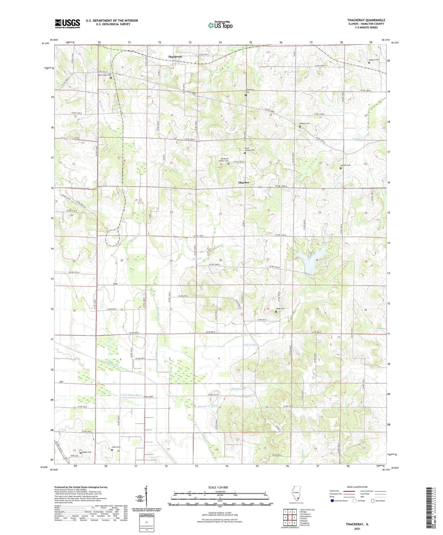
2024 topographic map quadrangle Thackeray in the state of Illinois. Scale: 1:24000. Based on the newly updated USGS 7.5' US Topo map series, this map is in the following counties: Hamilton. The map contains contour data, water features, and other items you are used to seeing on USGS maps, but also has updated roads and other features. This is the next generation of topographic maps. Printed on high-quality waterproof paper with UV fade-resistant inks.
Quads adjacent to this one:
West: McLeansboro
Northwest: Belle Prairie City
North: Bungay
Northeast: Springerton
East: Enfield
Southeast: Norris City
South: Broughton
Southwest: Walpole
This map covers the same area as the classic USGS quad with code o38088a4.
Contains the following named places: Albion Church, Arterberry Cemetery, Ash Grove Picnic Area, Brush Harbor Church, Catfish Corner Picnic Area, Clark Cemetery, Concord Church, Concord School, Digby Cemetery, Dolan Lake Dam, Farris School, Four Corners, Green Acre Picnic Area, Hamilton County State Conservation Area, Hickory Hill Picnic Area, Hopewell Church, Hopson Cemetery, Jackies Giant Oak Picnic Area, Kiwanis Point Picnic Area, L P Dolan Lake, Lakeside View Picnic Area, Lick Creek, Lick Creek Church, Lick Creek Drain, Logansport, Logansport School, Main Lake, Main Lake Dam, Malone Cemetery, Martins Store, Mayberry Branch, Mayberry School, Metcalf School, Munsell Cemetery, New Hope Cemetery, New Prospect Church, Nipper Corner, Old Brush Harbor Cemetery, Oliver Church, Oliver School, Persimmon Ridge Picnic Area, Pig Ridge School, Piney Wood Camping Area, Riley Creek, Rocky Point Picnic Area, Runoff Collection Dam, Runoff Collection Pond, Shady Rest Picnic Area, Sneed Church, Sneed School, Sunrise Point Picnic Area, Tenmile Creek, Thackeray, Thackeray Church, Thackeray Oil Field, Thurber, Township of Crook, Twin Oaks Picnic Area, Walters School, Webb Cemetery, Wheeler Creek Drain, Williams School, Zinnia Knoll Picnic Area


