MyTopo
Valmeyer Illinois US Topo Map
Couldn't load pickup availability
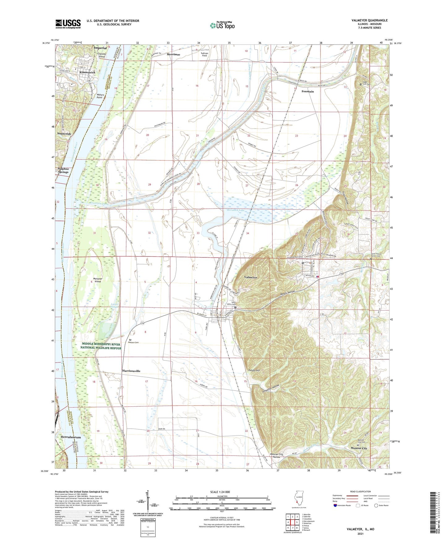
2024 topographic map quadrangle Valmeyer in the states of Illinois, Missouri. Scale: 1:24000. Based on the newly updated USGS 7.5' US Topo map series, this map is in the following counties: Monroe, Jefferson. The map contains contour data, water features, and other items you are used to seeing on USGS maps, but also has updated roads and other features. This is the next generation of topographic maps. Printed on high-quality waterproof paper with UV fade-resistant inks.
Quads adjacent to this one:
West: Herculaneum
Northwest: Maxville
North: Oakville
Northeast: Columbia
East: Waterloo
Southeast: Renault
South: Selma
Southwest: Festus
Contains the following named places: Bethesda Church, Central School, City of Kimmswick, Dennis Hollow, Eagle Cliff Cemetery, Election Precinct 15, Election Precinct 20, Fountain, Fountain Creek, Glaize Creek, Harrisonville, Harrisonville Landing, Imperial Census Designated Place, Joachim Creek, Kimmswick, Kimmswick Wastewater Treatment Plant, Leber Stock Farm, Long Slash Creek, Lucas Slough, Meissner Island, Merrimac, Miles Hollow School, Monroe City, Monroe City Cemetery, Monroe City Hollow, Moredock Lake, Potato Hill, Rock Creek, Saint Johns Cemetery, Saint Josephs Church, Schaeffer Hollow, Sullivan Field, Sulphur Springs, Sunnyside, Trout Hollow, Valmeyer, Valmeyer Community School, Valmeyer Fire Protection District, Valmeyer Post Office, Village of Valmeyer, Wallace Cemetery, Walnut Grove School, Waters Point, Woodville, ZIP Codes: 62295, 63053


