MyTopo
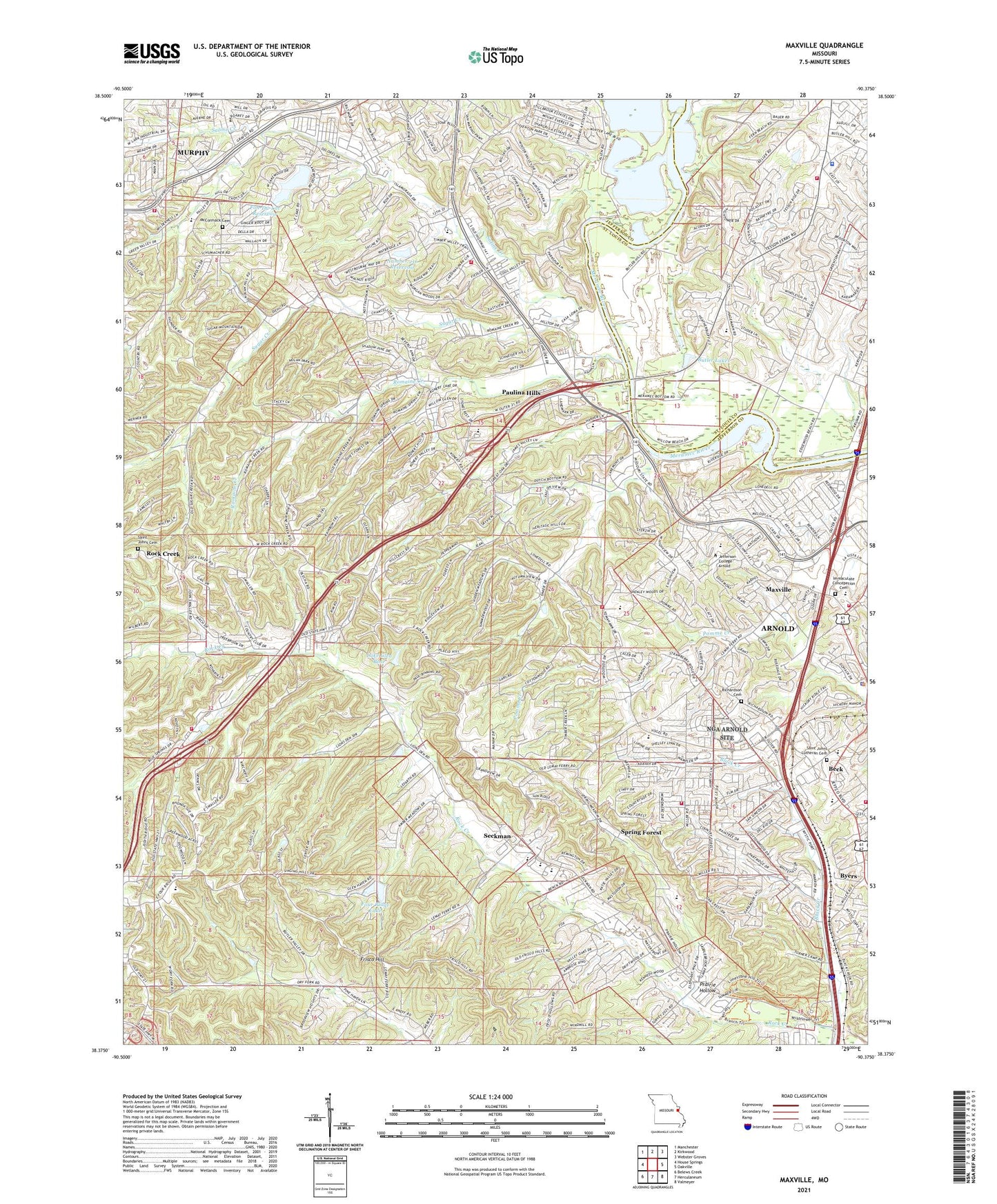
Maxville Missouri US Topo Map
Couldn't load pickup availability
2021 topographic map quadrangle Maxville in the state of Missouri. Scale: 1:24000. Based on the newly updated USGS 7.5' US Topo map series, this map is in the following counties: Jefferson, St. Louis. The map contains contour data, water features, and other items you are used to seeing on USGS maps, but also has updated roads and other features. This is the next generation of topographic maps. Printed on high-quality waterproof paper with UV fade-resistant inks.
Quads adjacent to this one:
West: House Springs
Northwest: Manchester
North: Kirkwood
Northeast: Webster Groves
East: Oakville
Southeast: Valmeyer
South: Herculaneum
Southwest: Belews Creek
This map covers the same area as the classic USGS quad with code o38090d4.
Contains the following named places: Arnold, Arnold Crossroads Shopping Center, Arnold Police Department, Beck, Black Creek, Bowles School, Butler Lakes, Fon-Du-Lac Dam, Fon-Du-Lac Reservoir, Four Ridge Dam, Four Ridge Lake, Four Ridge School, Frisco Hill, General American Life Insurance Lake Dam, George Guffey Elementary School, Glen Rose Lake Dam, Gospel Assembly Church, Hageman School, Heneke, Hermitage Hills Lake Dam, High Ridge Fire Protection District Station 2, Jefferson County Plaza Shopping Center, Jefferson Heights, KCWA-FM (Arnold), KDHX-FM (St Louis), KETC-TV (St Louis), La Beau Tract, Lake Glen Rose, Leight School, Lone Dell School, Mastodon State Park, Maxville, McCormack Cemetery, Mehlville Fire Protection District Engine House Number 4, Murphy, Murphy Census Designated Place, New Hope Church, Number 216 Reservoir, Oak Ridge Farm, Oak Ridge School, Paulina Hills, Pine Lake, Pine Lake Dam, Prairie Hollow, Richard Simpson Elementary School, Richardson Cemetery, Richardson Crossing Shopping Center, Richardson Square Shopping Center, Ridgewood Middle School, Rock Community Fire Protection District - Station 1, Rock Community Fire Protection District - Station 5, Rock Community Fire Protection District House 3, Rock Community Fire Protection District House 4, Rock Creek, Rockport Heights Elementary School, Romaine Creek, Saint Johns Cemetery, Saint Johns Church, Saint Louis County Police Department Affton Southwest Precinct, Saline Creek, Saline School, Seckman, Seckman Elementary School, Seckman Middle School, Seckman School, Seckman Senior High School, Shady Valley Fire Protection District, Sherwood Elementary School, Southmoor Golf Course, Spring Forest, Spring Lake Park, Springdale Fire Protection District Station 1 Headquarters, Springdale Fire Protection District Station 2, Springdale Park, Sugar Creek, Suson Park, Township of Rock, Township of Tesson Ferry, Township of Windsor, WILFM-FM (St Louis), ZIP Codes: 63010, 63052, 63128


