MyTopo
Selma Missouri US Topo Map
Couldn't load pickup availability
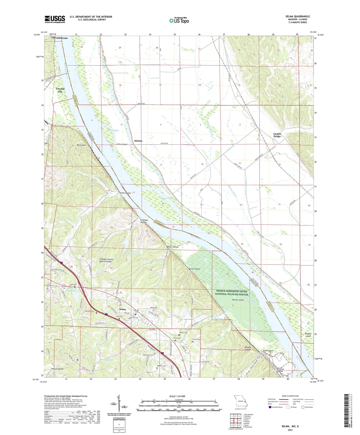
2021 topographic map quadrangle Selma in the states of Illinois, Missouri. Scale: 1:24000. Based on the newly updated USGS 7.5' US Topo map series, this map is in the following counties: Jefferson, Monroe, Ste. Genevieve. The map contains contour data, water features, and other items you are used to seeing on USGS maps, but also has updated roads and other features. This is the next generation of topographic maps. Printed on high-quality waterproof paper with UV fade-resistant inks.
Quads adjacent to this one:
West: Festus
Northwest: Herculaneum
North: Valmeyer
Northeast: Waterloo
East: Renault
Southeast: Bloomsdale
South: Danby
Southwest: Halifax
This map covers the same area as the classic USGS quad with code o38090b3.
Contains the following named places: Arbor Place, Barsotti Cemetery, Big Hollow, Branch Lake, Buck Knob, Calico Chute, Calico Island, Chalfin Bridge, Cliffdale Hollow, Cliffdale Hollow Natural Bridge, Conservation Club Lake, Conservation Club Lake Dam, Cook Cemetery, Curtis Cemetery, Donnell Cemetery, Doolin Hollow, Griffin Cemetery, Harlow Island, Jefferson R - 7 Fire Protection District, Jefferson R-7 School, Kemper Landing, La Platte Mine, Long Lake School, Lucas Cemetery, Maeys, Maeystown Creek, Mitchie, Mitchie School, Monroe City Creek, Muddy Creek, North Lake - Selma, Osborne Chute, Plattin Creek, Porter Lake Dam, Prentiss Hollow, Rainer Lake, River Cement Company Lake, River Cement Company Lake Dam, Rush Island, Rush Tower, Rush Tower School, Saint Joseph Ursuline Novitiate, Saline Creek, Selma, Selma Dam, Selma Ditch, Selma Hollow, Selma School, Varnum School, Wagoner Cemetery, Weaver Cemetery, Wesley Church, Wilcox Hollow, Wildcat Hollow