MyTopo
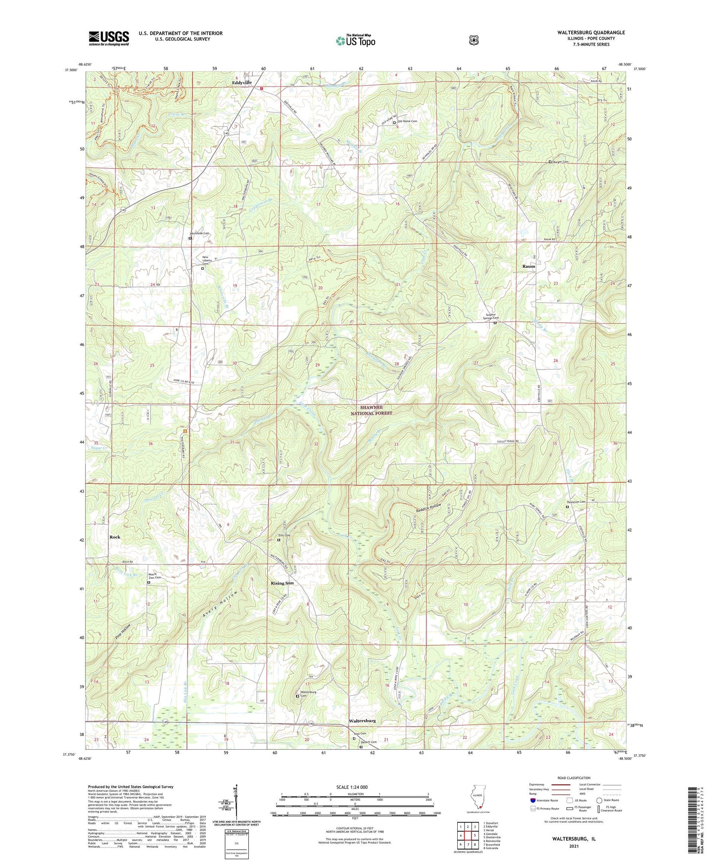
Waltersburg Illinois US Topo Map
Couldn't load pickup availability
Also explore the Waltersburg Forest Service Topo of this same quad for updated USFS data
2024 topographic map quadrangle Waltersburg in the state of Illinois. Scale: 1:24000. Based on the newly updated USGS 7.5' US Topo map series, this map is in the following counties: Pope. The map contains contour data, water features, and other items you are used to seeing on USGS maps, but also has updated roads and other features. This is the next generation of topographic maps. Printed on high-quality waterproof paper with UV fade-resistant inks.
Quads adjacent to this one:
West: Glendale
Northwest: Stonefort
North: Eddyville
Northeast: Herod
East: Shetlerville
Southeast: Golconda
South: Brownfield
Southwest: Reevesville
This map covers the same area as the classic USGS quad with code o37088d5.
Contains the following named places: Allen School, Anderson Ford, Avery Hollow, Barger Cemetery, Beatty Branch, Copperous Branch, Densch Cemetery, Eddyville, Ellis Cemetery, Flick Branch, Frieze Branch, Frieze School, Grisham School, Kool Cemetery, Little Lusk Creek, Manson Ford, Matthis Branch, Maynor Ford, Mount Zion Baptist Church, Mount Zion Cemetery, New Liberty Cemetery, New Liberty Church, Old Home Cemetery, Old Home Church, Old Home School, Palestine Cemetery, Palestine Church, Pleasant Valley School, Pope County, Porter Ford, Quarrel Creek, Ramsey Branch, Randolph Branch, Raum, Raum Lookout Tower, Reddick Hollow, Rising Sun, Rock, Rocky Branch, Rose Ford, Rough School, Rural Pope County Fire Protection District Station 2, School Number 44, Sulphur Springs Cemetery, Sulphur Springs Missionary Baptist Church, Thompson School, Waltersburg, Waltersburg Cemetery, Waltersburg Church, Whiteside Cemetery, ZIP Codes: 62928, 62938


