MyTopo
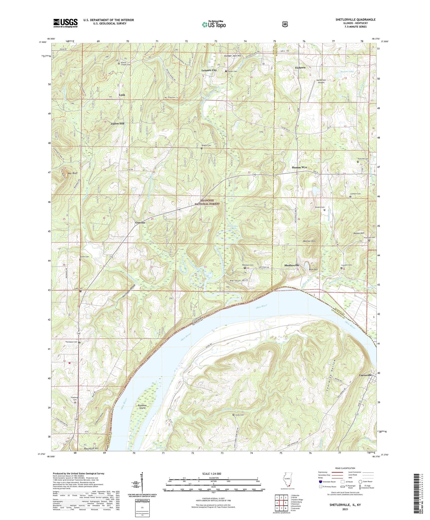
Shetlerville Illinois US Topo Map
Couldn't load pickup availability
Also explore the Shetlerville Forest Service Topo of this same quad for updated USFS data
2024 topographic map quadrangle Shetlerville in the states of Illinois, Kentucky. Scale: 1:24000. Based on the newly updated USGS 7.5' US Topo map series, this map is in the following counties: Pope, Livingston, Hardin. The map contains contour data, water features, and other items you are used to seeing on USGS maps, but also has updated roads and other features. This is the next generation of topographic maps. Printed on high-quality waterproof paper with UV fade-resistant inks.
Quads adjacent to this one:
West: Waltersburg
Northwest: Eddyville
North: Herod
Northeast: Karbers Ridge
East: Rosiclare
Southeast: Lola
South: Golconda
Southwest: Brownfield
Contains the following named places: Baker Mine, Bethesda Church, Bethesda School, Big Grand Pierre Creek, Brown Cemetery, Cave Spring Branch, City of Carrsville, Coalmine Hollow, Cobb Mine, Cosby Cemetery, Cowsert Cemetery, Dutton Chapel, Dutton Chapel Cemetery, Eichorn, Giddeonson Hollow, Golconda Civilian Conservation Center, Golconda Number 2 Election Precinct, Gowansville, Gowins, Grandview School, Henderson Airport, Herman Hill, Hobbs Creek, Hobbs Fish Farm, Horseshoe Lake, Humm Hill, Humm Lake, Humm Lake Dam, Humm Mine, Humm Wye, Hurricane Hollow, Jefferson Mine, Joiner Cemetery, Julien Hill, King Branch, Leisure City, Little Grand Pierre Creek, Loves Cemetery, Loves Chapel, Lusk, Melcher Hills, Mount Pleasant Church, Mud Creek, Parkinson Cemetery, Parkinson Landing, Parkinson Mine, Pell Mine, Rich Hill, Rock Quarry School, Rondeau Island, Rural Pope County Fire Protection District Station 4, Saint Joseph Church, Saint Josephs School, Shelby Mine, Sheldon Mine, Shetlerville, Simmons Creek, Smithland Lock One Dam, Soward Cemetery, Steamboat Hill Campground, Stewart Mine, Thompson Cemetery, Threemile Creek, Troutman Cemetery, Trueberger Cemetery, Twitchell Cemetery, Twitchell Mine, Union Church, Union School, Vaughn Cemetery, Vinegar Jack Hill, Wallace Branch, War Bluff


