MyTopo
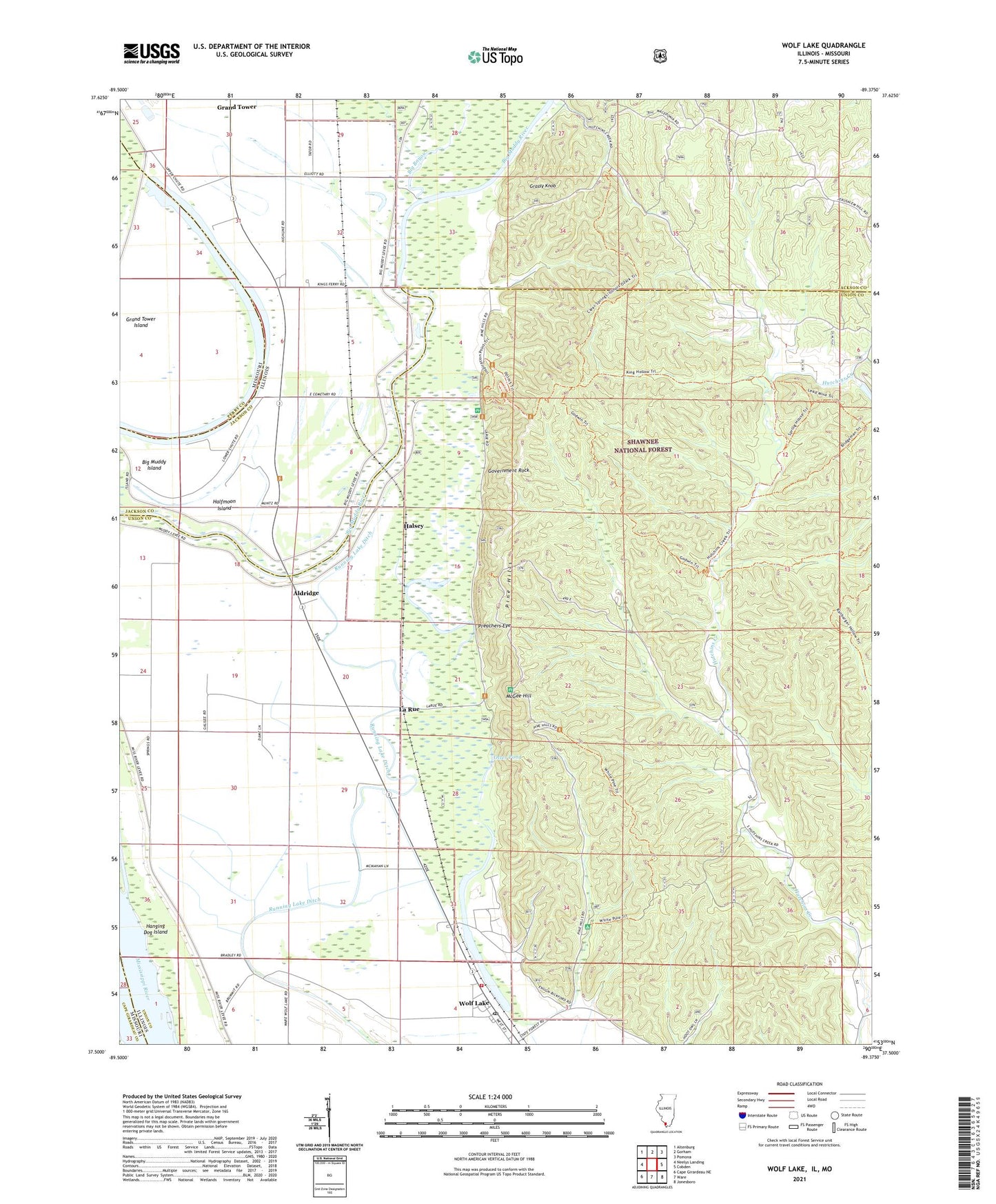
Wolf Lake Illinois US Topo Map
Couldn't load pickup availability
Also explore the Wolf Lake Forest Service Topo of this same quad for updated USFS data
2024 topographic map quadrangle Wolf Lake in the states of Illinois, Missouri. Scale: 1:24000. Based on the newly updated USGS 7.5' US Topo map series, this map is in the following counties: Union, Jackson, Perry, Cape Girardeau. The map contains contour data, water features, and other items you are used to seeing on USGS maps, but also has updated roads and other features. This is the next generation of topographic maps. Printed on high-quality waterproof paper with UV fade-resistant inks.
Quads adjacent to this one:
West: Neelys Landing
Northwest: Altenburg
North: Gorham
Northeast: Pomona
East: Cobden
Southeast: Jonesboro
South: Ware
Southwest: Cape Girardeau NE
Contains the following named places: Aldridge, Allens Flat Picnic Area, Beech Grove School, Bennett Landing, Big Bayou, Big Muddy Island, Cauble School, Clear Springs Wilderness, Galilee Church, Government Rock, Grand Tower Island, Grassy Knob, Halfmoon Island, Halsey, Hanging Dog Island, Hutchins Creek, Kings Ferry, La Rue, La Rue Swamp Nature Preserve, Lambdins Field, Larue-Pine Hills National Natural Landmark, Macedonia School, McCann School, McCann Springs Picnic Area, McGee Hill, McGee Hill Picnic Area, McGuire School, Otter Pond, Pine Hills, Pine Hills Campground, Preachers Eye, Tower Island Chute, Union District Number 2 Election Precinct, Ware - Wolf Lake Fire Protection District, Winter Pond Picnic Area, Wolf Lake, Wolf Lake Post Office, ZIP Code: 62998


