MyTopo
Ambia Indiana US Topo Map
Couldn't load pickup availability
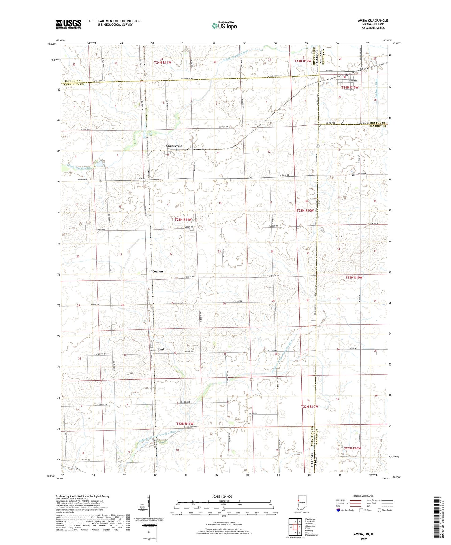
2022 topographic map quadrangle Ambia in the states of Illinois, Indiana. Scale: 1:24000. Based on the newly updated USGS 7.5' US Topo map series, this map is in the following counties: Warren, Vermilion, Iroquois, Benton. The map contains contour data, water features, and other items you are used to seeing on USGS maps, but also has updated roads and other features. This is the next generation of topographic maps. Printed on high-quality waterproof paper with UV fade-resistant inks.
Quads adjacent to this one:
West: Hoopeston
Northwest: Wellington
North: Stockland
Northeast: Boswell
East: Tab
Southeast: West Lebanon
South: Bismarck
Southwest: Henning
This map covers the same area as the classic USGS quad with code o40087d5.
Contains the following named places: Ambia, Ambia Post Office, Antioch Church, Bridgeman School, Cheneyville, Coalton, College Corners, College Corners School, Fairview School, Goldsbery School, Heaton, Hickory Grove Township Fire Department, Norton School, Pond School, Powley Corners, Prudential Ditch, Town of Ambia