MyTopo
Greenwood Indiana US Topo Map
Couldn't load pickup availability
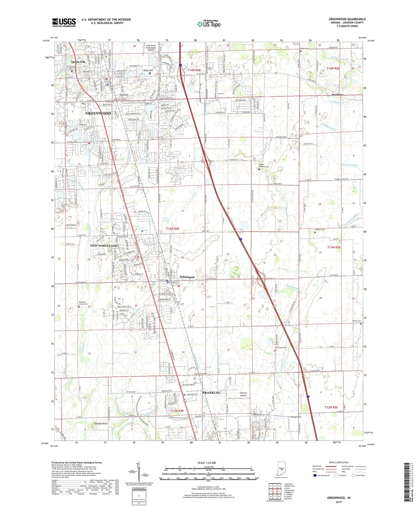
2022 topographic map quadrangle Greenwood in the state of Indiana. Scale: 1:24000. Based on the newly updated USGS 7.5' US Topo map series, this map is in the following counties: Johnson. The map contains contour data, water features, and other items you are used to seeing on USGS maps, but also has updated roads and other features. This is the next generation of topographic maps. Printed on high-quality waterproof paper with UV fade-resistant inks.
Quads adjacent to this one:
West: Bargersville
Northwest: Maywood
North: Beech Grove
Northeast: Acton
East: Boggstown
Southeast: Marietta
South: Franklin
Southwest: Trafalgar
This map covers the same area as the classic USGS quad with code o39086e1.
Contains the following named places: Berry Field, Break-O-Day Elementary School, Brewer Ditch, Canary Ditch, Canary's Airport, Central Technical School, Childrens Garden Park, Church of God, City of Greenwood, Clark Pleasant Junior High School, Concordia Church, Craig Park, Donalds Knoll, East Grassy Creek, East Park, First Baptist Church of Greenwood, Franklin Church of the Nazarene, Franklin Memorial Christian Church, Franklin Police Department, Glade Dobbins Cemetery, Graham Ditch, Grassy Creek, Greenwood, Greenwood Cemetery, Greenwood Church of Christ, Greenwood City Building, Greenwood Community Center, Greenwood Fire Department Station 91 / Headquarters, Greenwood Fire Department Station 91 Headquarters, Greenwood Middle School, Greenwood Police Department, Greenwood Post Office, Greenwood Presbyterian Church, Greenwood Senior High School, Greenwood Southwest Elementary School, Greewood Public Library, Hurricane Cemetery, Kelly Hill, Market Plaza Shopping Center, McGill Cemetery, Mission Hills Office Center, New Whiteland, New Whiteland Baptist Church, New Whiteland Christian Church, New Whiteland City Hall, New Whiteland Police Department, New Whiteland Volunteer Fire Department, Nolan Cemetery, Old City Park, Otte Golf Center, Our Lady of the Greenwood Church, Our Lady of the Greenwood School, Outreach Community Church of God, Park 800 Industrial Park, Pleasant Creek, Pleasant Grove Cemetery, Polk Hill, Pool Park, Powell Ditch, Precedent South Business Center, Ransdell Run, Red Roof Square Shopping Center, Rocklane, Rocklane Creek, Saint Joseph Catholic Church, Saint Thomas Episcopal Church, Short Run, Sierra Business Center, Solid Rock Church, South Park Business Park, Southwood Trailer Court, Spring Hill, Tot Park, Town of New Whiteland, Town of Whiteland, Township of Pleasant, Tracy Ditch, Triumph Church, Valle Vista Golf Course, Valle Vista Health System, Victory Baptist Church, Vineyard Community Church, West Park, West Whiteland, Westside Park, Whiteland, Whiteland Community High School, Whiteland Fire Department, Whiteland Police Department, Whiteland Post Office, Whiteland United Methodist Church, WIFN-FM (Franklin), Wilgro Shopping Center, Williams Cemetery, Woods Field, ZIP Codes: 46143, 46184


