MyTopo
Noblesville Indiana US Topo Map
Couldn't load pickup availability
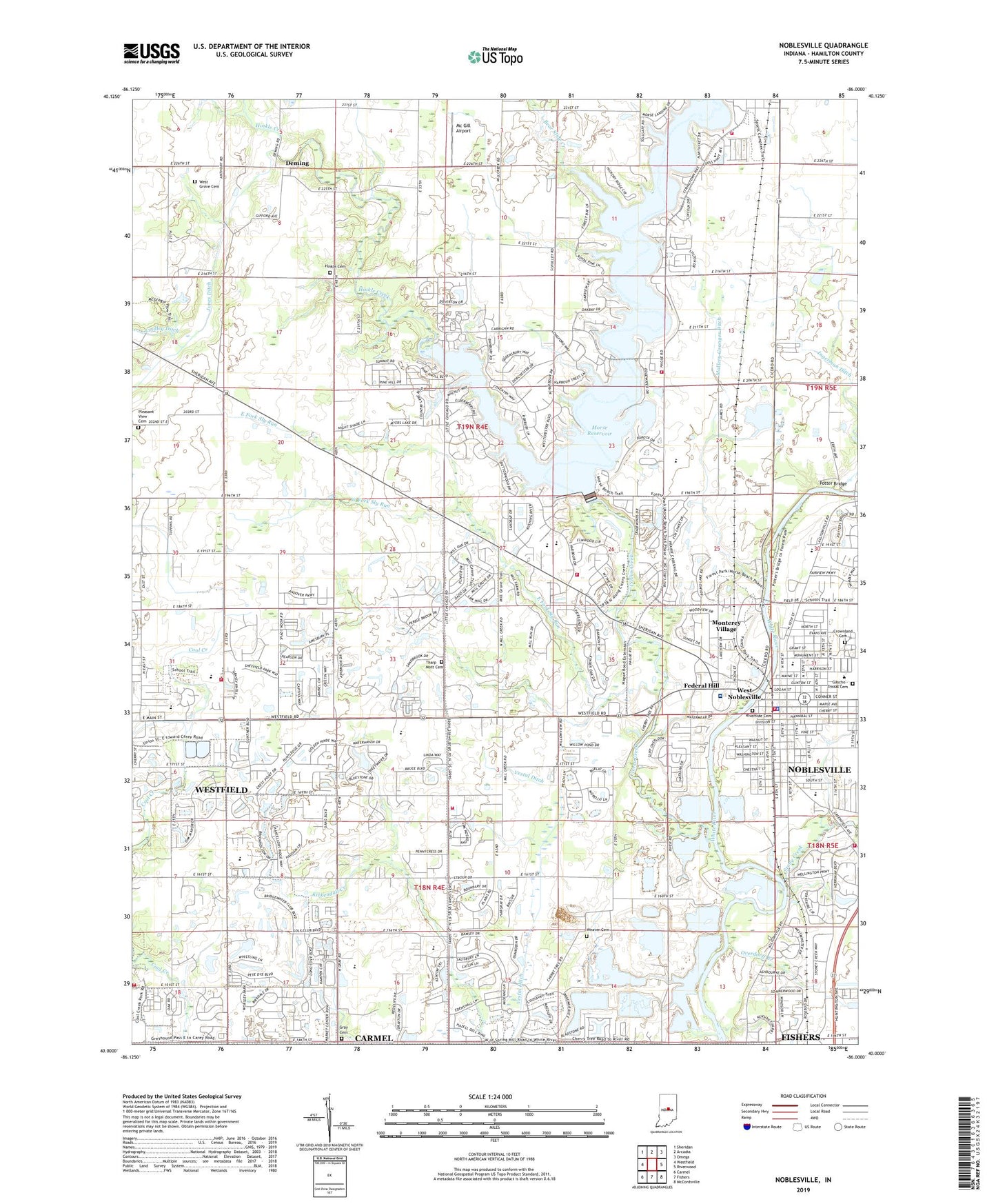
2022 topographic map quadrangle Noblesville in the state of Indiana. Scale: 1:24000. Based on the newly updated USGS 7.5' US Topo map series, this map is in the following counties: Hamilton. The map contains contour data, water features, and other items you are used to seeing on USGS maps, but also has updated roads and other features. This is the next generation of topographic maps. Printed on high-quality waterproof paper with UV fade-resistant inks.
Quads adjacent to this one:
West: Westfield
Northwest: Sheridan
North: Arcadia
Northeast: Omega
East: Riverwood
Southeast: McCordsville
South: Fishers
Southwest: Carmel
This map covers the same area as the classic USGS quad with code o40086a1.
Contains the following named places: Bear Slide Creek, Bethel African Methodist Episcopal Church, Bible Holiness Church, Calvary Apostolic Church, Calvary Baptist Church, Carey Ridge Elementary School, Christ Community Church, Cicero, Cicero Creek, Cicero Fire Department, Cicero Public Library, City of Noblesville, Community Baptist Church, Conner Elementary School, Crownland Cemetery, Deming, East Fork Sly Run, Federal Hill, First Church of God, First Indiana Commerce Park, First Presbyterian Church, Forest Hill Elementary School, Forest Park, Fox Prairie, Fox Prairie Golf Course, Friends Church, Gascho - Trissal Cemetery, Grassy Branch, Gray Cemetery, Gray Friends Church, Hamilton County, Hamilton County Courthouse, Hamilton Estates Mobile Home Park, Hazel Dell Elementary School, Hinkle Cemetery, Hinkle Creek, Hinkle Creek Church, Hinkle Creek Elementary School, Indianapolis Boys Club Camp, Ingerman Ditch, Jones Ditch, Lakeview Wesleyan Church, Light of the World Christian Church, Lighthouse Fellowship Church, Mallery Granger Ditch, Mannix Farms, Mc Gill Airport, Memorial Park Cemetery, Monterey Village, Morse Marina, Morse Park, Morse Reservoir, Morse Reservoir Dam, New Life Assembly of God Church, Noblesville, Noblesville Baptist Church, Noblesville City Hall, Noblesville Fire Department Station 71 Headquarters, Noblesville Fire Department Station 72, Noblesville Fire Department Station 73, Noblesville Fire Department Station 74, Noblesville Fire Department Station 76, Noblesville Intermediate School, Noblesville Junior High School, Noblesville Landfill, Noblesville Middle School, Noblesville Municipal Sewage Treatment Plant, Noblesville Police Department, Noblesville Soccer Fields, Noblesville Square Shopping Center, North Elementary School, Our Lady of Grace School, Overdorff Branch, Pleasant View Cemetery, Potter Bridge, Riverside Cemetery, Riverview Health Main Hospital, School Number 1, School Number 15, School Number 16, School Number 2, School Number 3, School Number 5, School Number 6, School Number 7, School Number 9, Seminary Park, Stony Creek, Stony Creek Business Park, Stony Creek Elementary School, Tharp Mott Cemetery, Town of Cicero, Township of Noblesville, Tritown Park, Weaver Cemetery, West Fork Sly Run, West Grove Cemetery, West Noblesville, Western Plaza Shopping Center, Westfield Fire Department Station 82, WFBM-AM (Noblesville), ZIP Code: 46062


