MyTopo
Yankeetown Indiana US Topo Map
Couldn't load pickup availability
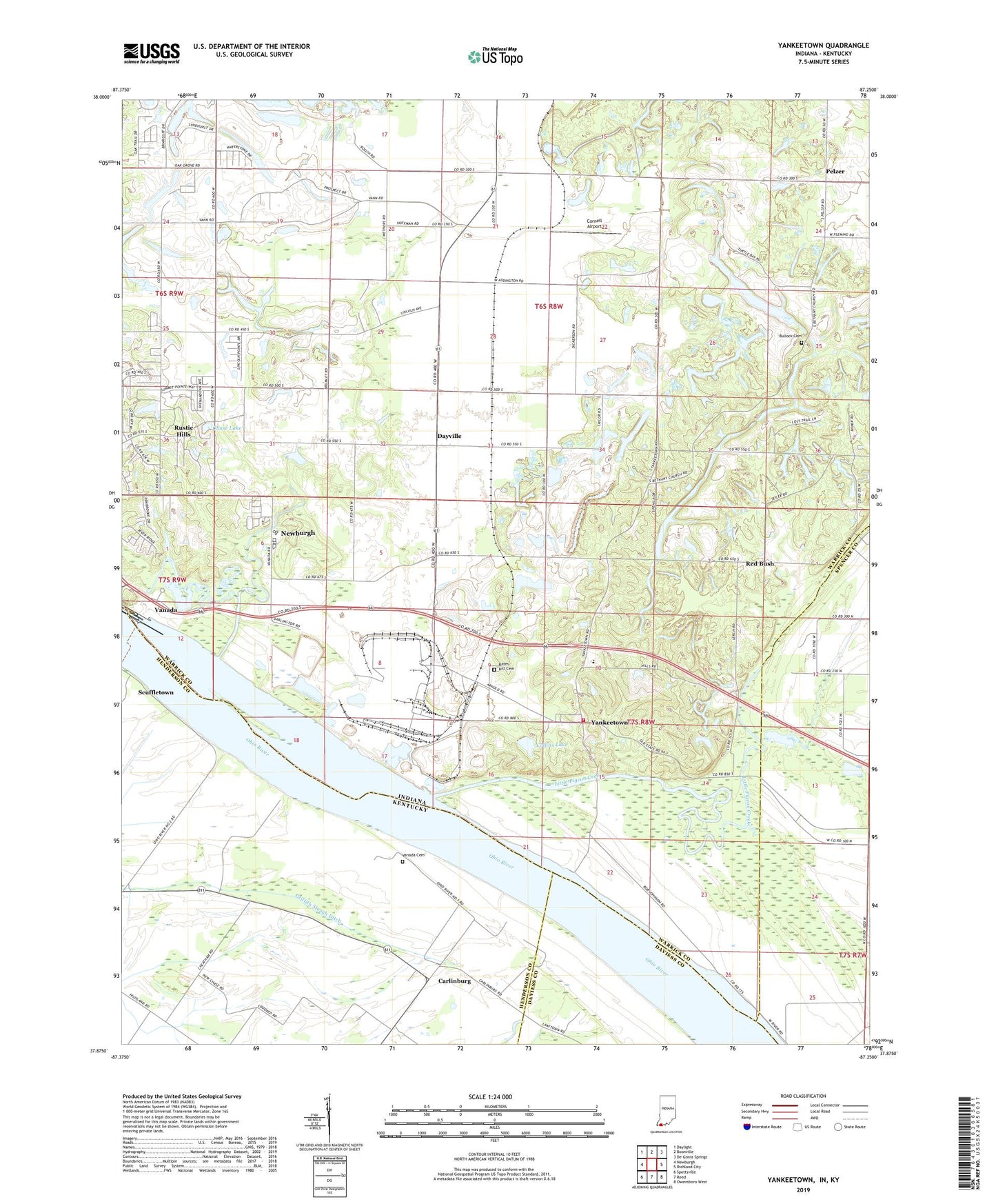
2022 topographic map quadrangle Yankeetown in the states of Indiana, Kentucky. Scale: 1:24000. Based on the newly updated USGS 7.5' US Topo map series, this map is in the following counties: Warrick, Henderson, Spencer, Daviess. The map contains contour data, water features, and other items you are used to seeing on USGS maps, but also has updated roads and other features. This is the next generation of topographic maps. Printed on high-quality waterproof paper with UV fade-resistant inks.
Quads adjacent to this one:
West: Newburgh
Northwest: Daylight
North: Boonville
Northeast: De Gonia Springs
East: Richland City
Southeast: Owensboro West
South: Reed
Southwest: Spottsville
Contains the following named places: Aluminum Company of America Fire Department and Emergency Medical Services, Baker Creek, Bates Hill Cemetery, Bethany Church, Bullock Cemetery, Carlinburg, Chase Lake, Clear Creek, Collins Lake, Cornell Airport, Cypress Creek, Dayville, Friendship Church, Griffith Slough Ditch, Horsman Ditch, Kaiser Ditch, Koehler Ditch, Laketown, McCool Ditch, Mitchem Ditch, Pelzer, Pleasant Chapel, Pyeattville, Red Bush, Robert Richard Drain, Rustic Hills, Saint Ruperts Church, Scuffletown, Sharon Church, Summer Pecka Ditch, Taylor Ditch, Township of Anderson, U S Dam Number Four, Union Church, Vanada, Vanada Cemetery, Vanada Landing, Yankeetown, Yankeetown Elementary School, Yankeetown Volunteer Fire Department, ZIP Code: 47630


