MyTopo
Adair South Iowa US Topo Map
Couldn't load pickup availability
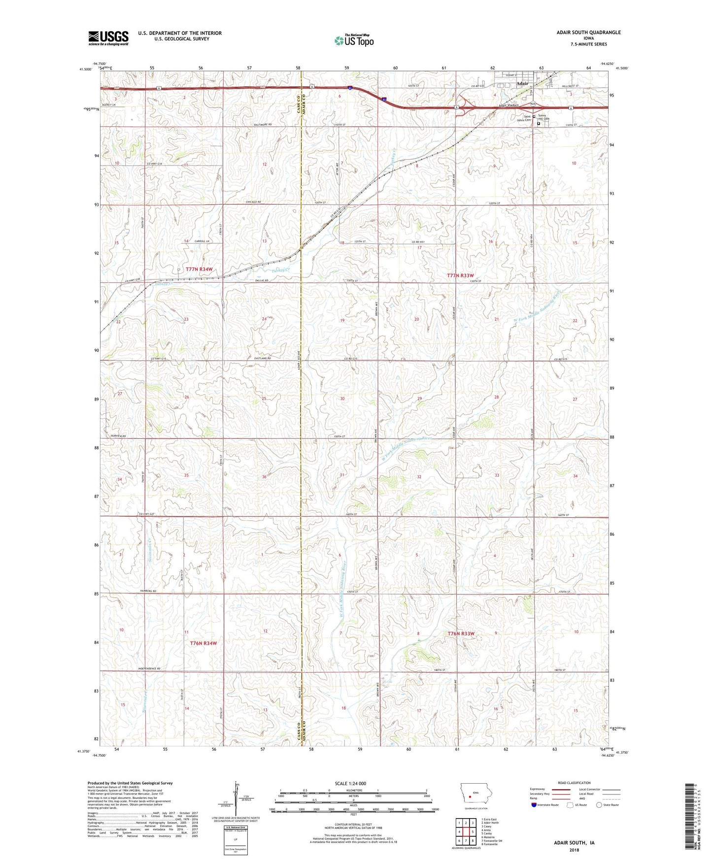
2022 topographic map quadrangle Adair South in the state of Iowa. Scale: 1:24000. Based on the newly updated USGS 7.5' US Topo map series, this map is in the following counties: Adair, Cass. The map contains contour data, water features, and other items you are used to seeing on USGS maps, but also has updated roads and other features. This is the next generation of topographic maps. Printed on high-quality waterproof paper with UV fade-resistant inks.
Quads adjacent to this one:
West: Anita
Northwest: Exira East
North: Adair North
Northeast: Casey
East: Canby
Southeast: Fontanelle
South: Fontanelle SW
Southwest: Massena
This map covers the same area as the classic USGS quad with code o41094d6.
Contains the following named places: Adair, Adair City Park, Adair Viaduct, Jesse James Historical Park, Saint Johns Cemetery, Sunnyhill Cemetery, Township of Summit, ZIP Code: 50020