MyTopo
Fontanelle SW Iowa US Topo Map
Couldn't load pickup availability
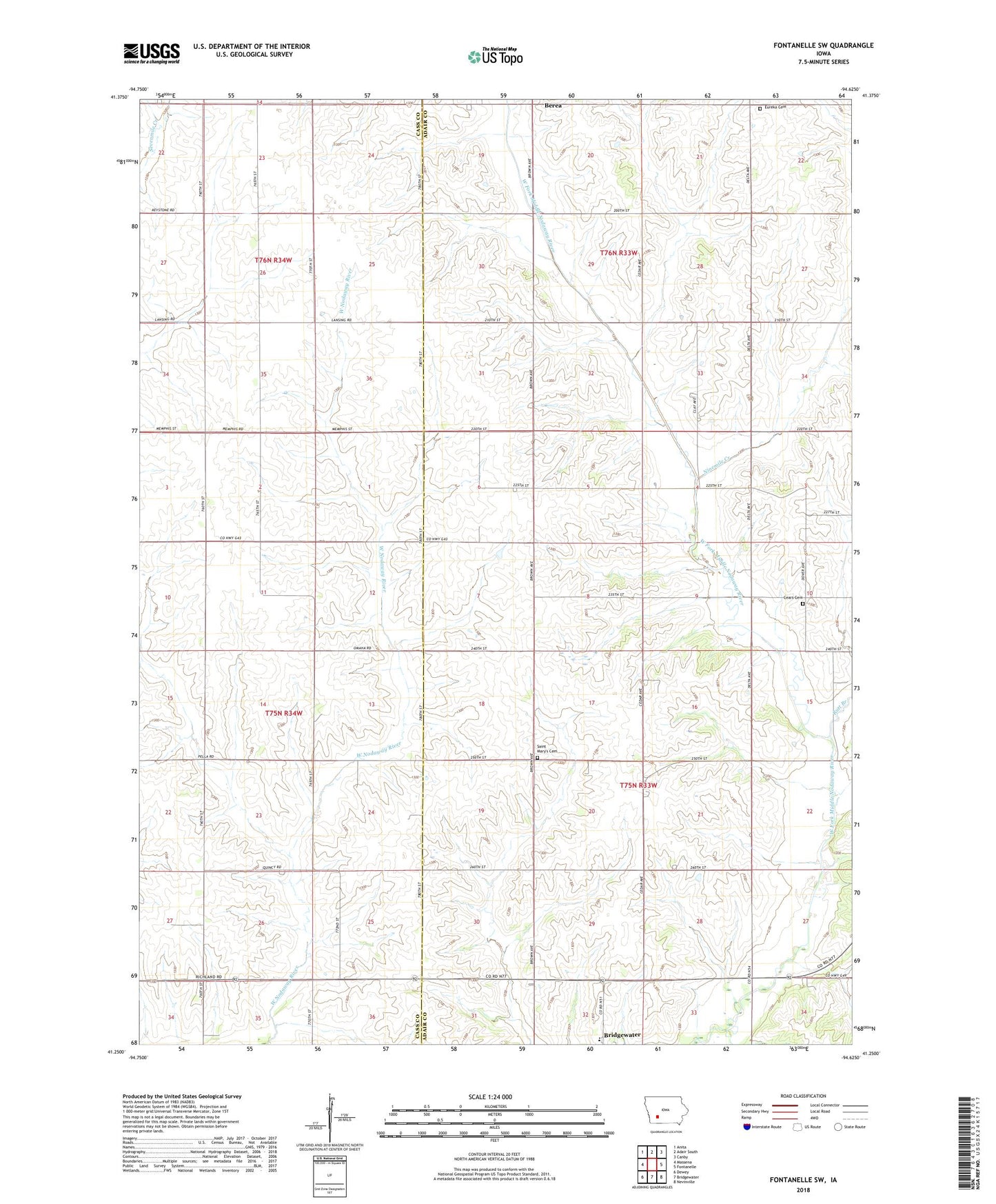
2022 topographic map quadrangle Fontanelle SW in the state of Iowa. Scale: 1:24000. Based on the newly updated USGS 7.5' US Topo map series, this map is in the following counties: Adair, Cass. The map contains contour data, water features, and other items you are used to seeing on USGS maps, but also has updated roads and other features. This is the next generation of topographic maps. Printed on high-quality waterproof paper with UV fade-resistant inks.
Quads adjacent to this one:
West: Massena
Northwest: Anita
North: Adair South
Northeast: Canby
East: Fontanelle
Southeast: Nevinville
South: Bridgewater
Southwest: Dewey
This map covers the same area as the classic USGS quad with code o41094c6.
Contains the following named places: Berea, Berea Post Office, Eureka Cemetery, Jackson Post Office, Jackson Townhall, Ninemile Creek, Nodaway Valley West Elementary School, North Massena Church, Rutt Branch, Saint Marys Cemetery, Saint Marys Church, Sears Cemetery, Township of Eureka, Township of Jackson