MyTopo
Alloway Creek Iowa US Topo Map
Couldn't load pickup availability
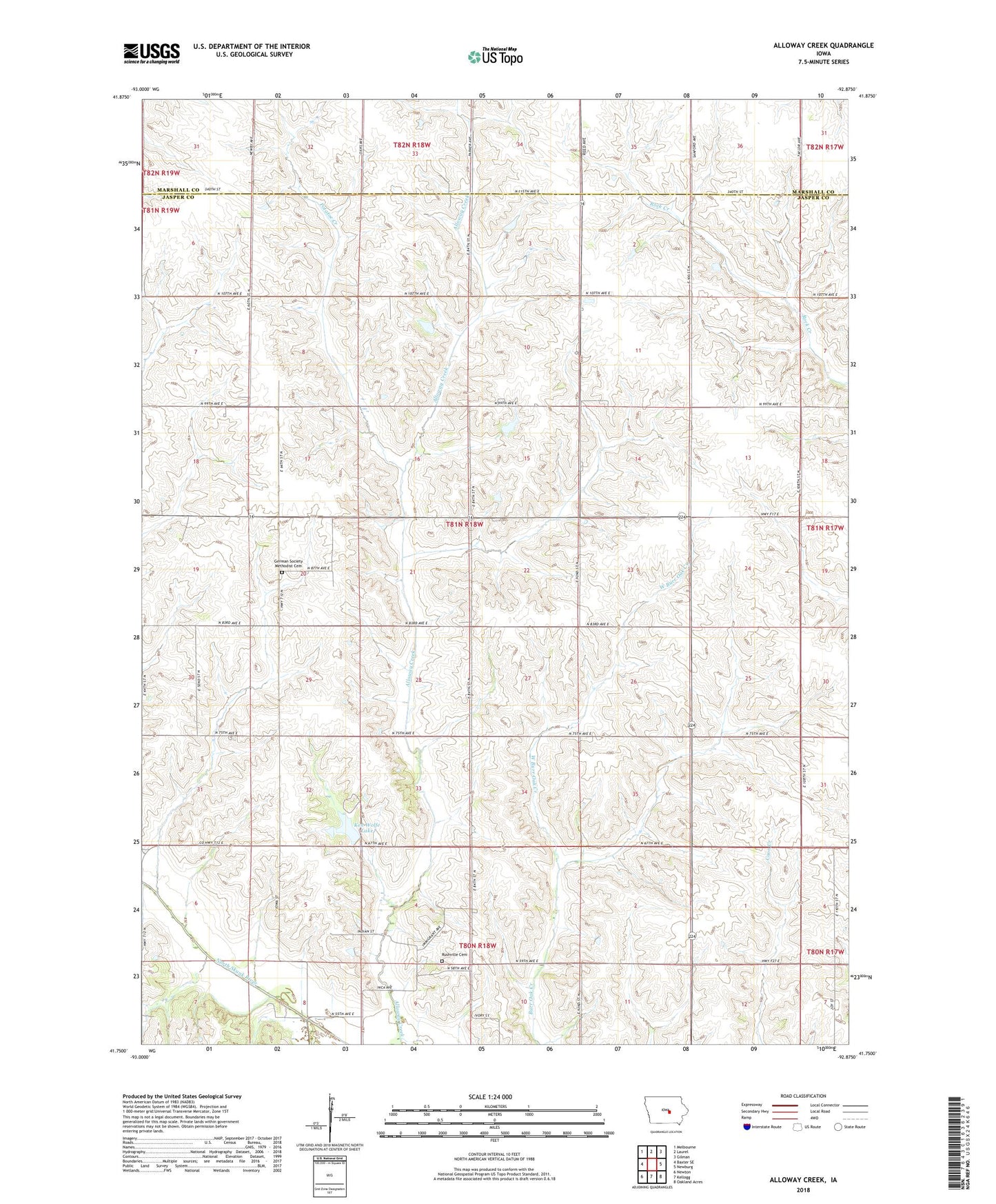
2022 topographic map quadrangle Alloway Creek in the state of Iowa. Scale: 1:24000. Based on the newly updated USGS 7.5' US Topo map series, this map is in the following counties: Jasper, Marshall. The map contains contour data, water features, and other items you are used to seeing on USGS maps, but also has updated roads and other features. This is the next generation of topographic maps. Printed on high-quality waterproof paper with UV fade-resistant inks.
Quads adjacent to this one:
West: Baxter SE
Northwest: Melbourne
North: Laurel
Northeast: Gilman
East: Newburg
Southeast: Oakland Acres
South: Kellogg
Southwest: Newton
This map covers the same area as the classic USGS quad with code o41092g8.
Contains the following named places: East Burr Oak Creek, German Society Methodist Cemetery, Ken Wolfe Lake, KZJB-TV (Newton), Mariposa County Park, Mystic Reservoir Dam, Potatoe Creek, Rushville, Rushville Cemetery, Township of Mariposa, West Burr Oak Creek, ZIP Codes: 50135, 50141