MyTopo
Cresco SW Iowa US Topo Map
Couldn't load pickup availability
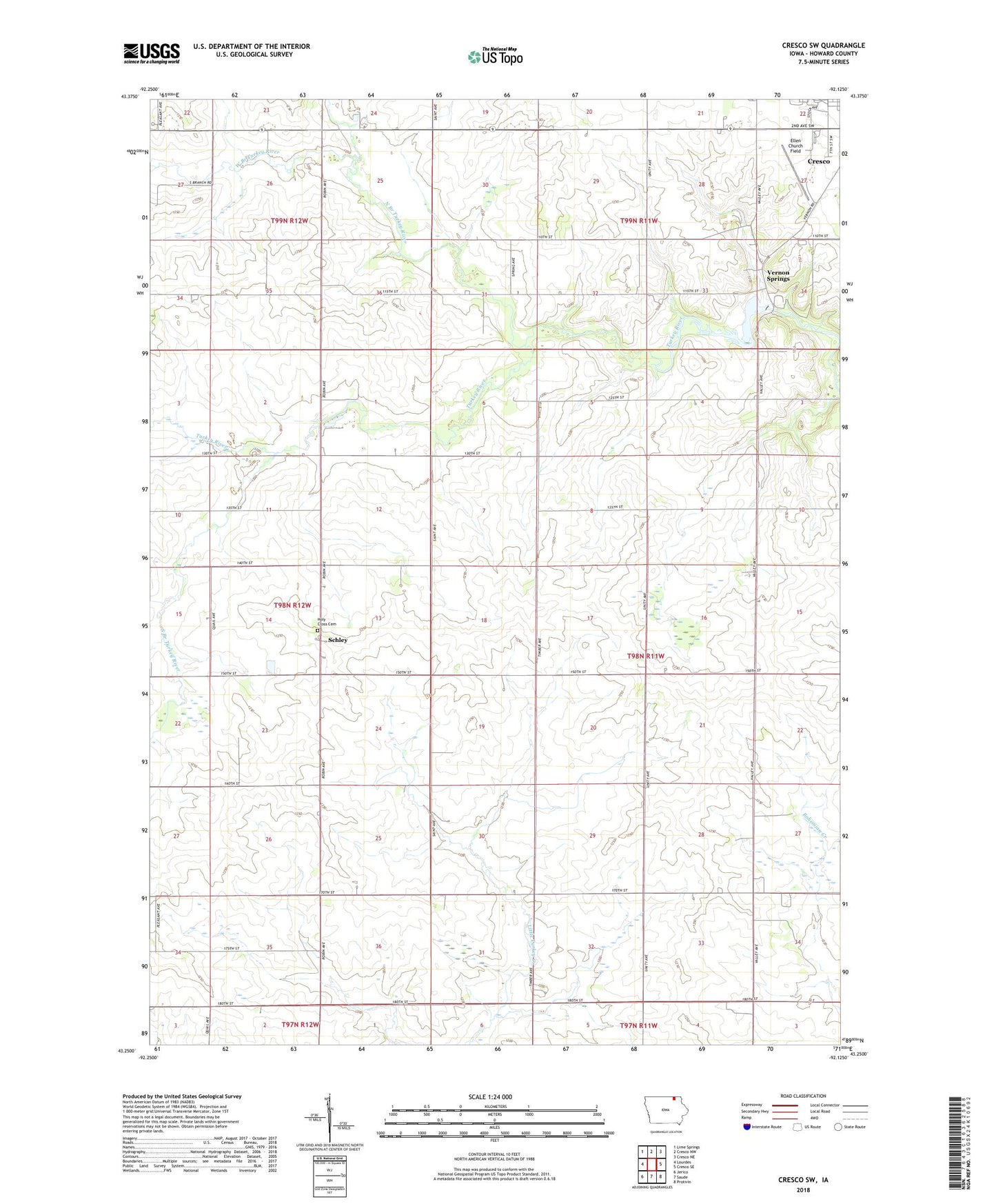
2022 topographic map quadrangle Cresco SW in the state of Iowa. Scale: 1:24000. Based on the newly updated USGS 7.5' US Topo map series, this map is in the following counties: Howard. The map contains contour data, water features, and other items you are used to seeing on USGS maps, but also has updated roads and other features. This is the next generation of topographic maps. Printed on high-quality waterproof paper with UV fade-resistant inks.
Quads adjacent to this one:
West: Lourdes
Northwest: Lime Springs
North: Cresco NW
Northeast: Cresco NE
East: Cresco SE
Southeast: Protivin
South: Saude
Southwest: Jerico
This map covers the same area as the classic USGS quad with code o43092c2.
Contains the following named places: Country Club, Ellen Church Field, Holy Cross Cemetery, Holy Cross Church, Howard Center Post Office, Murray Wildlife Area, North Branch Turkey River, Pond Valley Post Office, Schley, Schley Post Office, South Branch Turkey River, Thomson Marsh Wildlife Management Area, Township of New Oregon, Turkey Bend Wildlife Area, Turkey River Wildlife Area, Vernon Springs, Vernon Springs County Park, Vernon Springs Post Office, West Branch Turkey River