MyTopo
Cresco NE Iowa US Topo Map
Couldn't load pickup availability
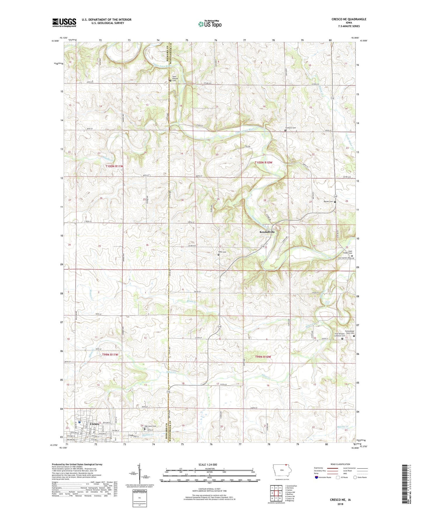
2022 topographic map quadrangle Cresco NE in the state of Iowa. Scale: 1:24000. Based on the newly updated USGS 7.5' US Topo map series, this map is in the following counties: Winneshiek, Howard. The map contains contour data, water features, and other items you are used to seeing on USGS maps, but also has updated roads and other features. This is the next generation of topographic maps. Printed on high-quality waterproof paper with UV fade-resistant inks.
Quads adjacent to this one:
West: Cresco NW
Northwest: Greenleafton
North: Harmony
Northeast: Canton
East: Bluffton
Southeast: Ridgeway
South: Cresco SE
Southwest: Cresco SW
This map covers the same area as the classic USGS quad with code o43092d1.
Contains the following named places: Assembly of God Church, Assumption Church, Barnes Cemetery, Bigalk Trout Stream Wildlife Area, Bigalks Creek, Black Falls, Black Oak Hollow, Church of Christ, Cresco, Cresco City Library, Cresco First Responders, Crestwood Alternative School, Crestwood Elementary / Junior High School, Crestwood Elementary School, Darrow School, Deer Creek, East Park, Eddy Cemetery, Elliott Creek, Evans Memorial Home, Faith Baptist Church, Ferkindstad Farm Cemetery, First Baptist Church, First Congregational Church, First Lutheran Church, First Orleans Lutheran Cemetery, Fremont Cemetery, Gaul Timber Cemetery, Howard County Museum, Kellow House - Howard County Museum, Kendallville, Kendallville Park, Kendallville Post Office, Kessel Park, Martha Creek, Mercy Family Care Center, Minor Creek, Morgan, Morgan Post Office, Mullens Creek, Oak Lawn Cemetery, Osbourne, Regional Health Services of Howard County Medical Center, Saint Kierans Cemetery, Township of Fremont, Township of Orleans, United Methodist Church, West Ward Elementary School, Willimantic Post Office


