MyTopo
Griswold NE Iowa US Topo Map
Couldn't load pickup availability
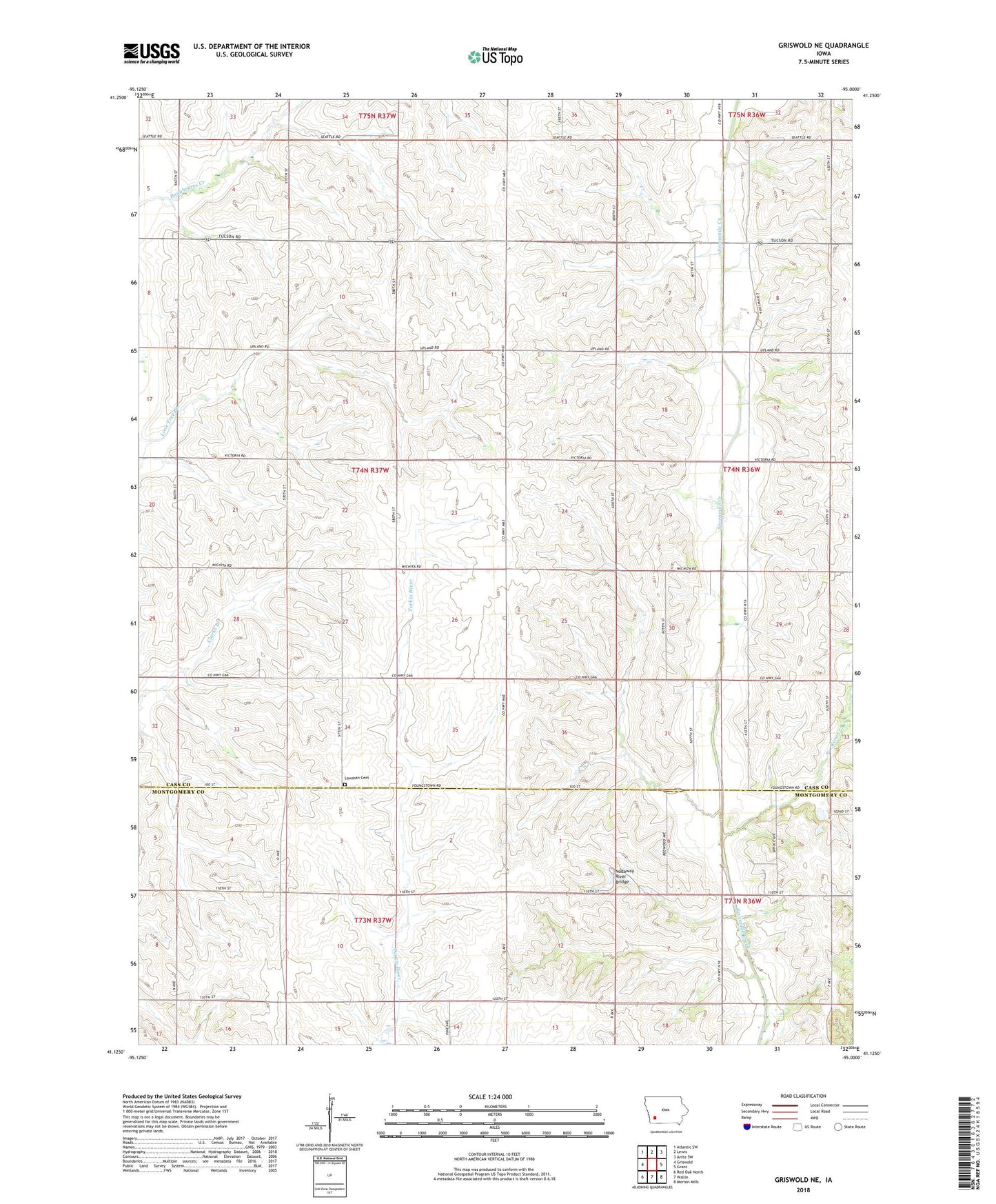
2022 topographic map quadrangle Griswold NE in the state of Iowa. Scale: 1:24000. Based on the newly updated USGS 7.5' US Topo map series, this map is in the following counties: Cass, Montgomery. The map contains contour data, water features, and other items you are used to seeing on USGS maps, but also has updated roads and other features. This is the next generation of topographic maps. Printed on high-quality waterproof paper with UV fade-resistant inks.
Quads adjacent to this one:
West: Griswold
Northwest: Atlantic SW
North: Lewis
Northeast: Anita SW
East: Grant
Southeast: Morton Mills
South: Wallin
Southwest: Red Oak North
This map covers the same area as the classic USGS quad with code o41095b1.
Contains the following named places: Griswold Country Club, Lowman Cemetery, McDill, Nishna Valley Recreation Area, Nodaway River Bridge, Pilot Grove County Park, Rose Creek, Township of Pleasant, Wax Post Office, ZIP Code: 51532