MyTopo
Morton Mills Iowa US Topo Map
Couldn't load pickup availability
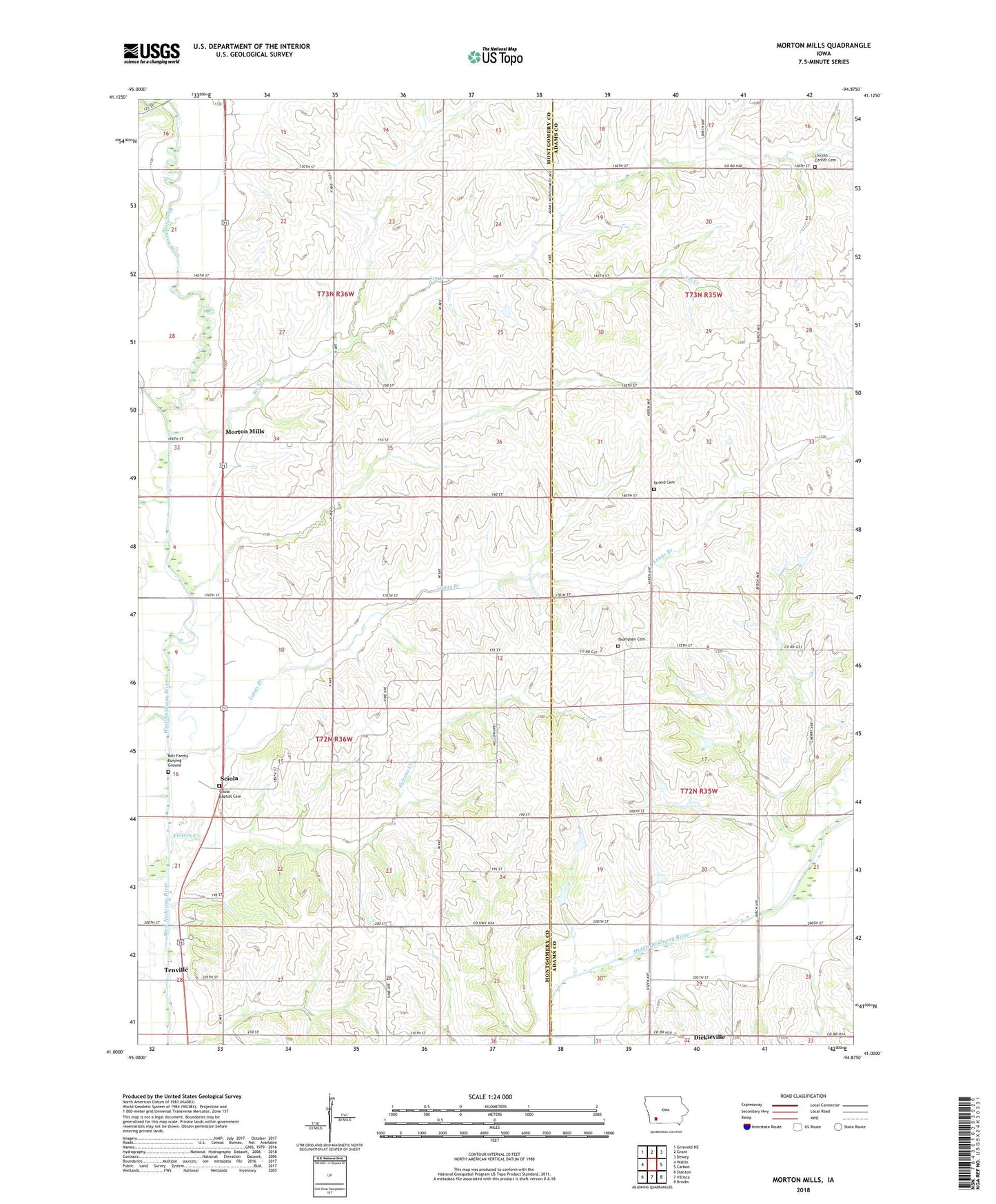
2022 topographic map quadrangle Morton Mills in the state of Iowa. Scale: 1:24000. Based on the newly updated USGS 7.5' US Topo map series, this map is in the following counties: Montgomery, Adams. The map contains contour data, water features, and other items you are used to seeing on USGS maps, but also has updated roads and other features. This is the next generation of topographic maps. Printed on high-quality waterproof paper with UV fade-resistant inks.
Quads adjacent to this one:
West: Wallin
Northwest: Griswold NE
North: Grant
Northeast: Dewey
East: Carbon
Southeast: Brooks
South: Villisca
Southwest: Stanton
This map covers the same area as the classic USGS quad with code o41094a8.
Contains the following named places: Alix Post Office, Bolt Family Burying Ground, Dickieville, Fultons Creek, Indian Burial Ground, Lincoln Center Cemetery, Longs Branch, Morton Mills, Morton Mills Post Office, Sciola, Sciola Baptist Cemetery, Sciola Post Office, Sevenmile Creek, Sin Creek, Strand, Strand Cemetery, Strand Church, Strand Post Office, Tenville, Tenville Access, Tenville Post Office, Thompson Cemetery, Township of Douglas, Township of Washington, Wallace Post Office