MyTopo
Keota Iowa US Topo Map
Couldn't load pickup availability
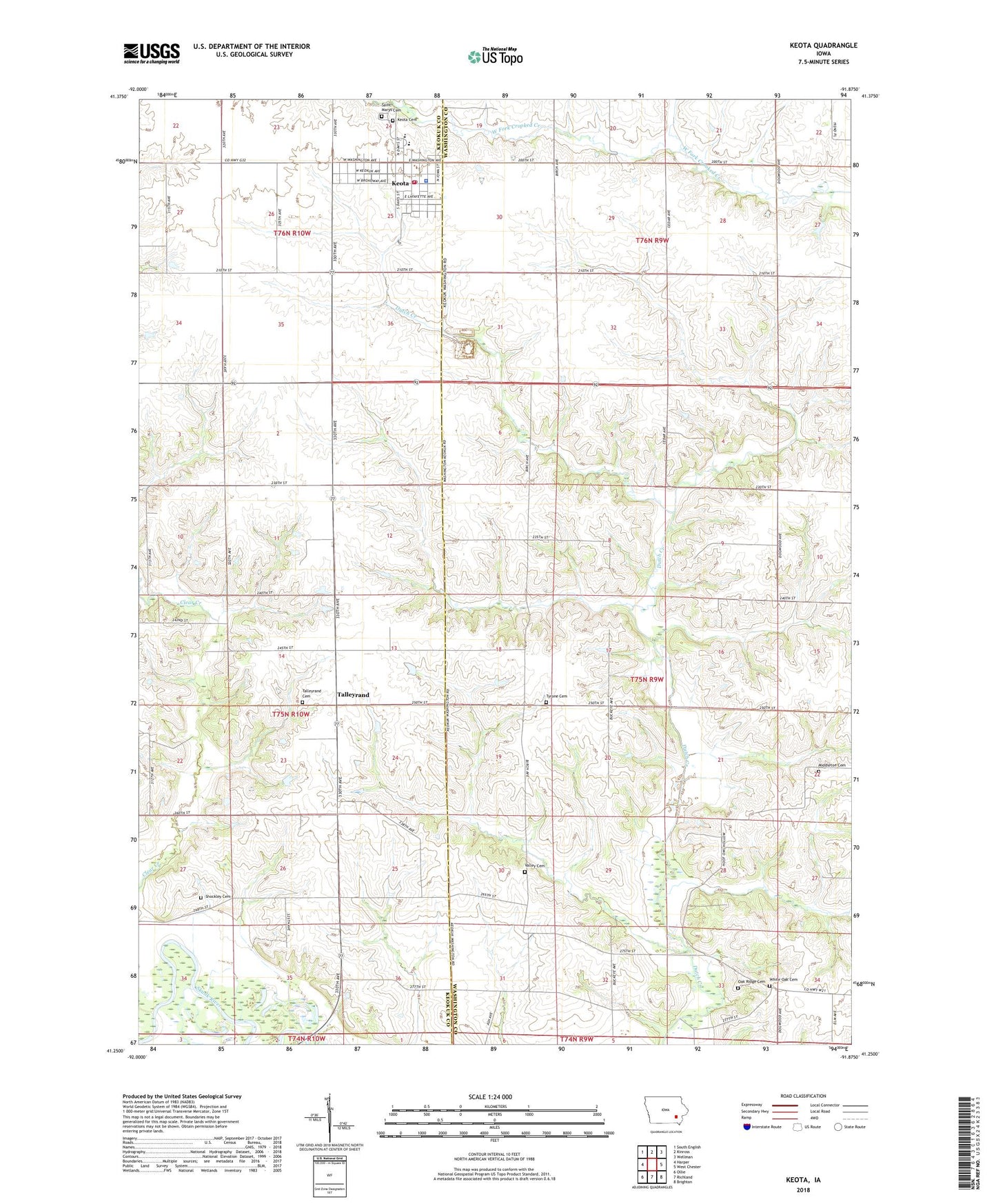
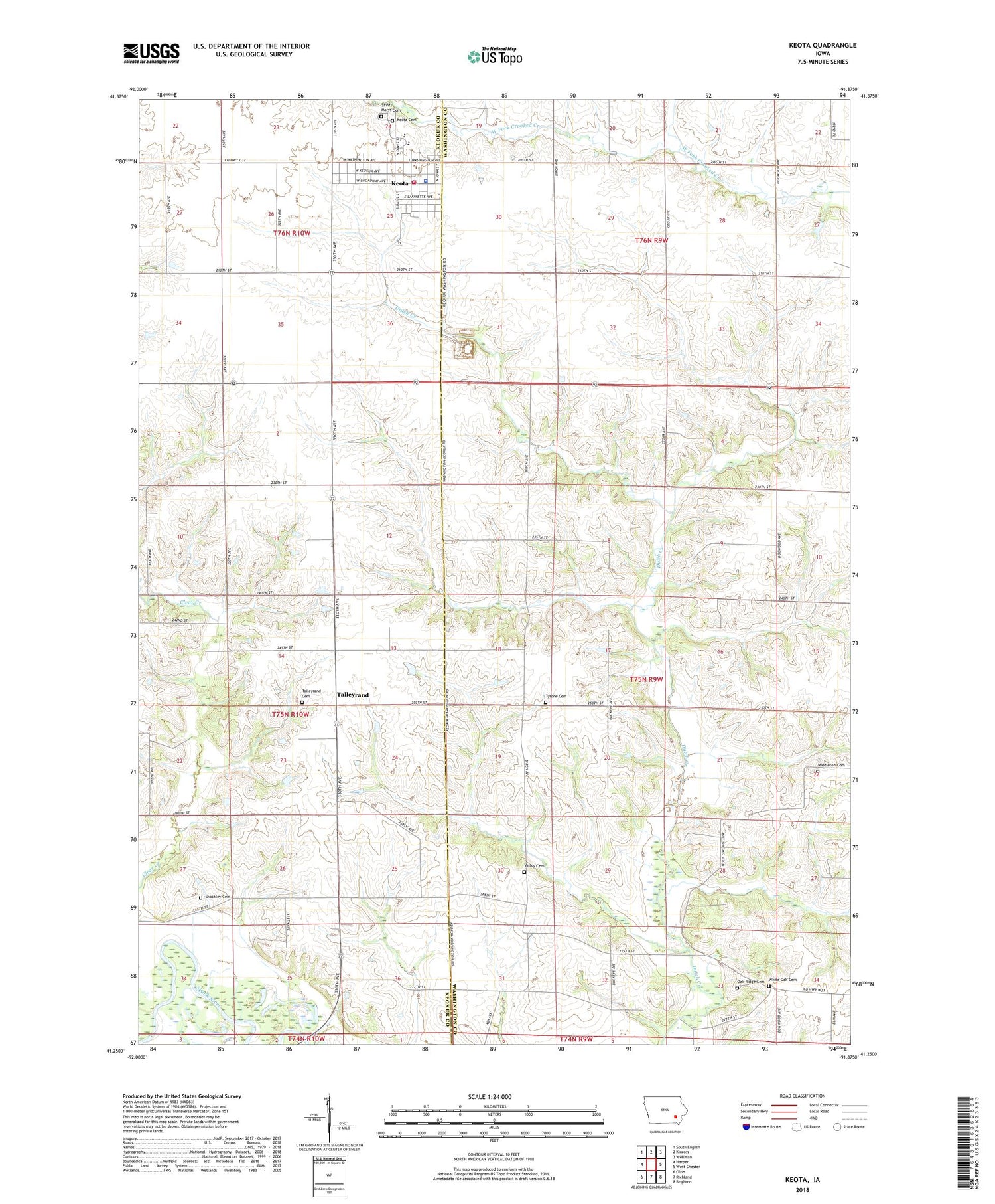
2022 topographic map quadrangle Keota in the state of Iowa. Scale: 1:24000. Based on the newly updated USGS 7.5' US Topo map series, this map is in the following counties: Washington, Keokuk. The map contains contour data, water features, and other items you are used to seeing on USGS maps, but also has updated roads and other features. This is the next generation of topographic maps. Printed on high-quality waterproof paper with UV fade-resistant inks.
Quads adjacent to this one:
West: Harper
Northwest: South English
North: Kinross
Northeast: Wellman
East: West Chester
Southeast: Brighton
South: Richland
Southwest: Ollie
This map covers the same area as the classic USGS quad with code o41091c8.
Contains the following named places: City of Keota, Clear Creek, Fagen Elevator Incorporated Elevator, Keota, Keota Cemetery, Keota City Hall, Keota Community Clinic, Keota Elementary School, Keota Fire Department, Keota First Responders, Keota Junior High / High School, Keota Police Department, Keota Post Office, Maplewood Manor, Middleton Cemetery, Oak Ridge Cemetery, Saint Marys Cemetery, Saint Marys Church, Shockley Cemetery, Spainer Br Skunk River State Wildlife Area, Talleyrand, Talleyrand Cemetery, Talleyrand Post Office, Township of Dutch Creek, Tyrone Cemetery, United Church of Faith, Valley, Valley Cemetery, Valley Post Office, White Oak Cemetery, Wilson Memorial Library, ZIP Code: 52248