MyTopo
Le Mars Iowa US Topo Map
Couldn't load pickup availability
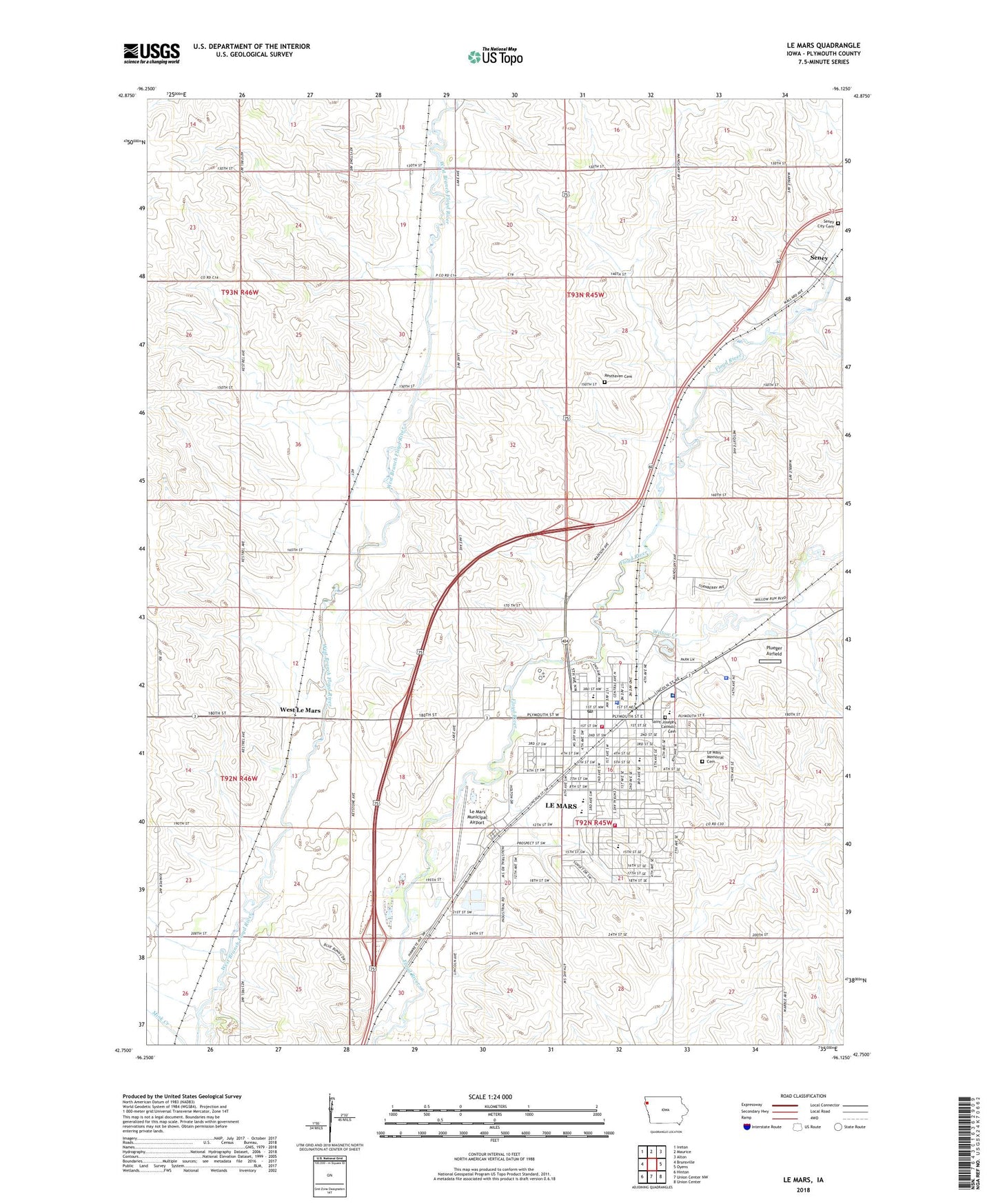
2022 topographic map quadrangle Le Mars in the state of Iowa. Scale: 1:24000. Based on the newly updated USGS 7.5' US Topo map series, this map is in the following counties: Plymouth. The map contains contour data, water features, and other items you are used to seeing on USGS maps, but also has updated roads and other features. This is the next generation of topographic maps. Printed on high-quality waterproof paper with UV fade-resistant inks.
Quads adjacent to this one:
West: Brunsville
Northwest: Ireton
North: Maurice
Northeast: Alton
East: Oyens
Southeast: Union Center
South: Union Center NW
Southwest: Hinton
This map covers the same area as the classic USGS quad with code o42096g2.
Contains the following named places: Armel Acres Mobile Home Estates, Assembly of God Church, Bolser Park, Calvary Cemetery, Calvary United Methodist Church, Calvin Christian Reformed Church, Central School, Charles A Mock Library, Chiropractic Associates Building, Chiropractic Clinic, Chiropractic Health Center, Church of Christ, Church of the Nazarene, City of Le Mars, Clark Elementary School, Cleveland Park, D N P Farm, Dalton, Dalton Post Office, Erdmann Trailer Court, First Baptist Church, First United Methodist Church, Floyd Valley Hospital, Foster Park, Franklin Elementary School, Gehlen Catholic School, Good Samaritan County Home, Grace Lutheran Church, Heeren Farms, Ice Cream Capital of the World Visitor Center, Iowa Eye Institute, KLEM-AM (Le Mars), Kluckhohn Elementary School, Krull Chiropractic Center, Le Mars, Le Mars Ambulance Service Station 1, Le Mars Ambulance Service Station 2, Le Mars Beauty College, Le Mars Bible Church, Le Mars Church of Christ, Le Mars Community High School, Le Mars Community Middle School, Le Mars Fire - Rescue Department Station 1, Le Mars Fire - Rescue Department Station 2, Le Mars Fire Department, Le Mars Municipal Airport, Le Mars Municipal Golf Course, Le Mars Municipal Park, Le Mars Optometric Center, Le Mars Optometric Clinic, Le Mars Police Department, Le Mars Post Office, Le Mars Public Library, Le Mars Sewage Treatment Plant, Leaverton Farm, Medical Associates Building, Memorial Cemetery, Northwest Surgery Center, Parkview Terrace, Paulin Park, Pick Farm, Plueger Airfield, Plymouth County Courthouse, Plymouth County Fairgrounds, Plymouth County Home, Plymouth County Museum, Plymouth County Sheriff's Office, Plymouth Manor Care Center, Pool Park, Presbyterian United Church, Resthaven Cemetery, Riverview Park, Royal 3 Cinemas, Saint Georges Episcopal Church, Saint James church, Saint Johns Lutheran Church, Saint Joseph Church, Saint Lukes Gordon Recovery Center, Seney, Seney Cemetery, Seney Post Office, Seney United Methodist Church, T D Farms, Township of America, Township of Elgin, Walnut Park, Walton Dental Health Center, West Floyd Park, West Le Mars, Westmar College, Willow Creek, Zollman Chiropractic Clinic, ZIP Code: 51031


