MyTopo
Montpelier Iowa US Topo Map
Couldn't load pickup availability
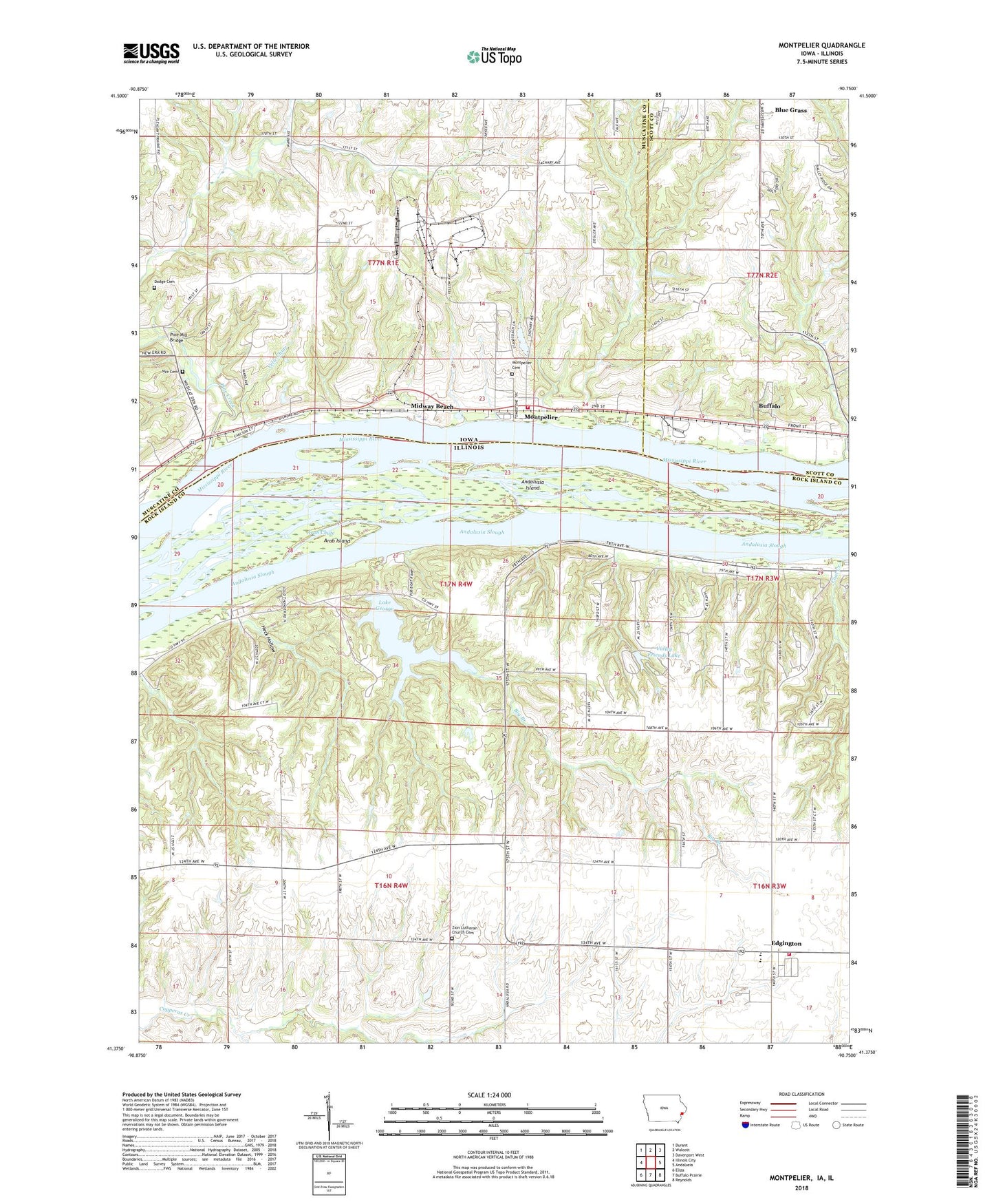
2022 topographic map quadrangle Montpelier in the states of Illinois, Iowa. Scale: 1:24000. Based on the newly updated USGS 7.5' US Topo map series, this map is in the following counties: Muscatine, Rock Island, Scott. The map contains contour data, water features, and other items you are used to seeing on USGS maps, but also has updated roads and other features. This is the next generation of topographic maps. Printed on high-quality waterproof paper with UV fade-resistant inks.
Quads adjacent to this one:
West: Illinois City
Northwest: Durant
North: Walcott
Northeast: Davenport West
East: Andalusia
Southeast: Reynolds
South: Buffalo Prairie
Southwest: Eliza
Contains the following named places: Andalusia Island, Andalusia Slough Recreation Area, Arab Chute, Arab Island, Big Branch, Buffalo Prairie Town Hall, Camp Abe Lincoln, Clarks Ferry Recreation Area, Coal Creek, Dodge Cemetery, Edgington, Edgington Census Designated Place, Edgington Fire Protection District, Edgington High School, Edgington Presbyterian Church, Glendale School, Green Bush School, Heck Hollow, House of Prayer Church, Independent Church, Island Number 322, Lake George, Lone Cedar Picnic Area, Loud Thunder Camp, Loud Thunder Forest Preserve, Midway Beach, Montpelier, Montpelier Cemetery, Montpelier Census Designated Place, Montpelier Post Office, Montpelier Township Volunteer Fire Department, Mud Slough, Nye Cemetery, Oak Hill School, Oak Ridge School, Old Pine Creek Mill, Open Door Baptist Church, Patterson Lake, Patterson School, Pine Creek, Pine Creek Gristmill, Pine Mill Bridge, Pine Mills, Pine Mills Post Office, Saint Patrick Church, Saint Patricks Catholic Church, Shady Creek Recreation Area, Silva Campground, Sunfish Slough, Township of Buffalo Prairie, Township of Montpelier, Valley Friends Lake, Valley Friends Lake Dam, Velie Chute, Village Oaks Landing Strip, White Lily School, Zion Lutheran Church, Zion Lutheran Church Cemetery, ZIP Codes: 52726, 61284


