MyTopo
Moorhead Iowa US Topo Map
Couldn't load pickup availability
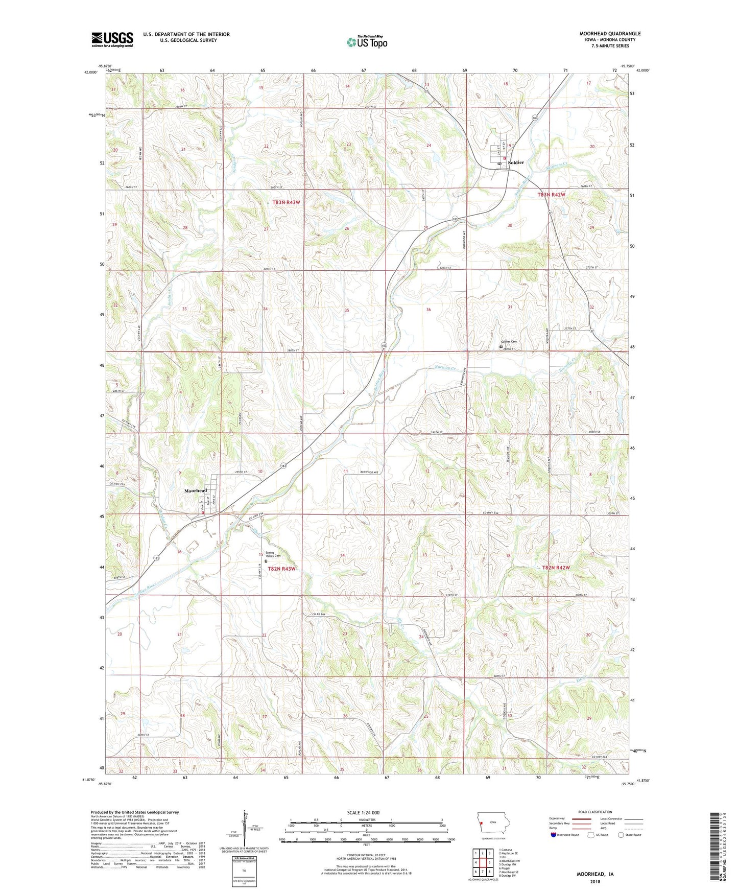
2022 topographic map quadrangle Moorhead in the state of Iowa. Scale: 1:24000. Based on the newly updated USGS 7.5' US Topo map series, this map is in the following counties: Monona. The map contains contour data, water features, and other items you are used to seeing on USGS maps, but also has updated roads and other features. This is the next generation of topographic maps. Printed on high-quality waterproof paper with UV fade-resistant inks.
Quads adjacent to this one:
West: Moorhead NW
Northwest: Castana
North: Mapleton SE
Northeast: Ute
East: Dunlap NW
Southeast: Dunlap SW
South: Moorhead SE
Southwest: Pisgah
This map covers the same area as the classic USGS quad with code o41095h7.
Contains the following named places: Bartlett Hills Lake, Bethesda Lutheran Church, Christian Church, City of Moorhead, City of Soldier, Country Church, East Monona School, Elk Creek, Hiawatha, Jordan Creek, Loess Hills Scenic Byway/Visitors Center, Moorhead, Moorhead City Hall, Moorhead Co-op Elevator, Moorhead Cultural Center, Moorhead Fire Department and Rescue Unit, Moorhead Post Office, Norway Creek, Site C-12-1 Davis Battle Creek Dam, Site C-12-2 Davis Battle Creek Dam, Site H-4-2 Davis Battle Creek Dam, Soldier, Soldier Cemetery, Soldier Church, Soldier Community Building, Soldier Elevator, Soldier Fire Department, Soldier Lutheran Church, Soldier Post Office, Soldier Town Hall, Spring Valley Cemetery, Township of Jordan, Township of Spring Valley, ZIP Codes: 51558, 51572