MyTopo
Moorhead SE Iowa US Topo Map
Couldn't load pickup availability
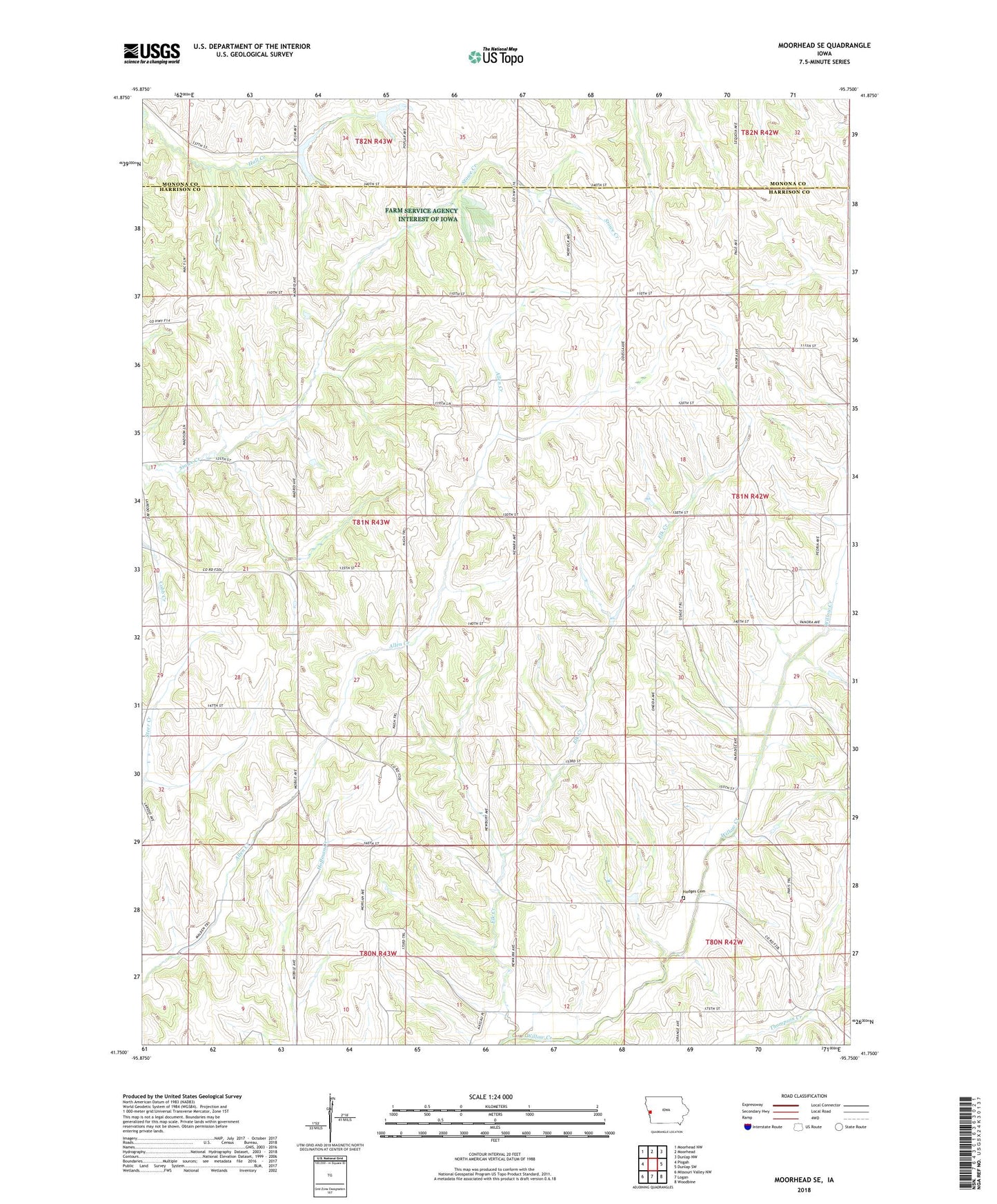
2022 topographic map quadrangle Moorhead SE in the state of Iowa. Scale: 1:24000. Based on the newly updated USGS 7.5' US Topo map series, this map is in the following counties: Harrison, Monona. The map contains contour data, water features, and other items you are used to seeing on USGS maps, but also has updated roads and other features. This is the next generation of topographic maps. Printed on high-quality waterproof paper with UV fade-resistant inks.
Quads adjacent to this one:
West: Pisgah
Northwest: Moorhead NW
North: Moorhead
Northeast: Dunlap NW
East: Dunlap SW
Southeast: Woodbine
South: Logan
Southwest: Missouri Valley NW
This map covers the same area as the classic USGS quad with code o41095g7.
Contains the following named places: Allen, Allen Creek Chapel, Allen Post Office, Elk Creek, Gamet Post Office, Hall Creek, Hodges Cemetery, Loess Hills Hideaway Cabins and Campground, Olympus, Olympus Post Office, Township of Allen, Willow Lake Recreation Area