MyTopo
Orient Iowa US Topo Map
Couldn't load pickup availability
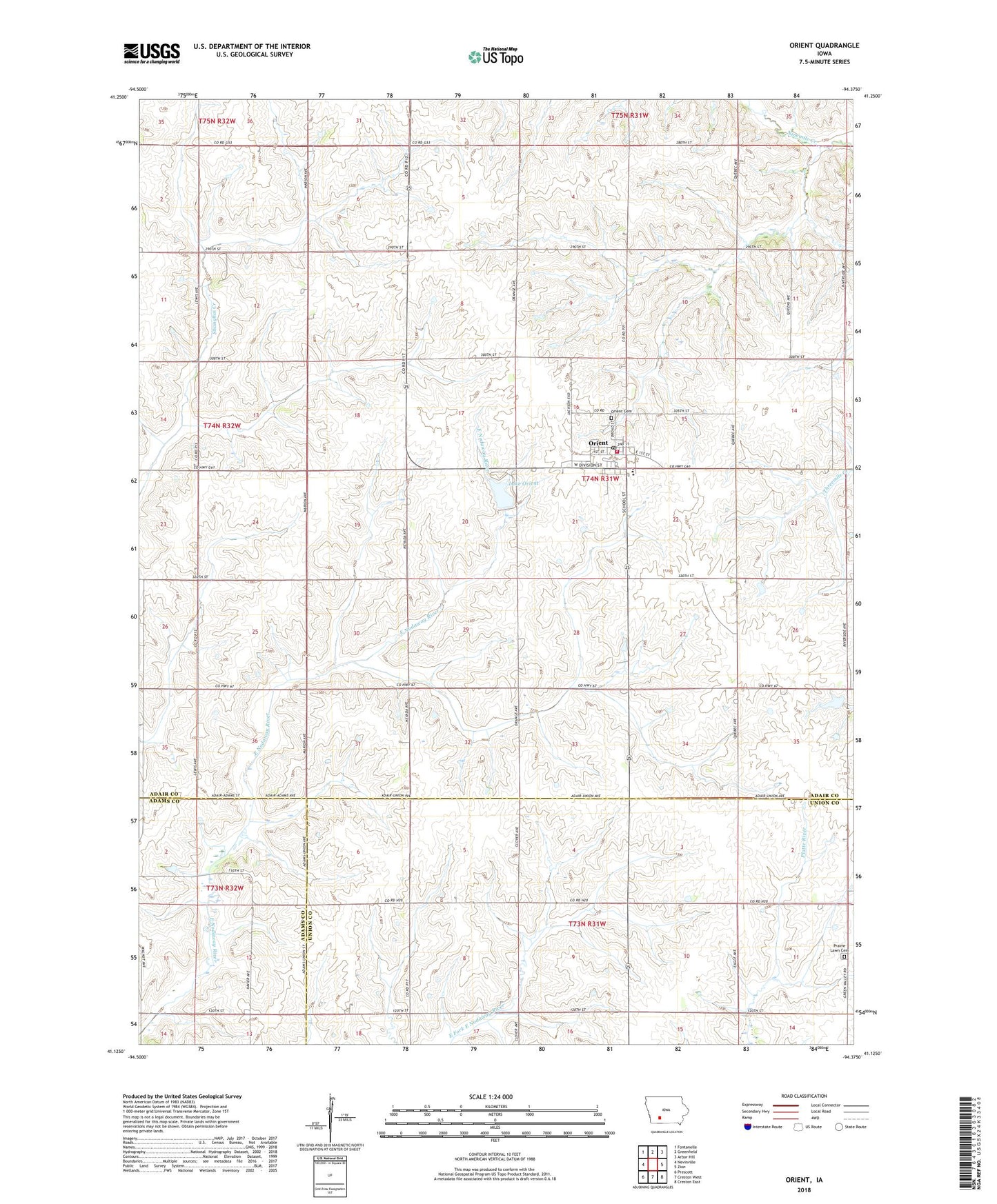
2022 topographic map quadrangle Orient in the state of Iowa. Scale: 1:24000. Based on the newly updated USGS 7.5' US Topo map series, this map is in the following counties: Adair, Union, Adams. The map contains contour data, water features, and other items you are used to seeing on USGS maps, but also has updated roads and other features. This is the next generation of topographic maps. Printed on high-quality waterproof paper with UV fade-resistant inks.
Quads adjacent to this one:
West: Nevinville
Northwest: Fontanelle
North: Greenfield
Northeast: Arbor Hill
East: Zion
Southeast: Creston East
South: Creston West
Southwest: Prescott
This map covers the same area as the classic USGS quad with code o41094b4.
Contains the following named places: ABC City Park, Bank of Memories, City of Orient, Drakes Post Office, Henry E Wallace Dam, Lake Orient, Lake Orient Recreation Area, Orient, Orient - Macksburg Community Schools, Orient - Macksburg Senior High School, Orient Cemetery, Orient City Hall, Orient Post Office, Orient United Methodist Church, Orient Volunteer Fire Department, Prairie Lawn Cemetery, Site on Mormon Trail - Proposed West Iowa Boundary Historical Marker, Township of Orient, United Church of Christ, Vino Post Office, ZIP Code: 50858