MyTopo
Oskaloosa Iowa US Topo Map
Couldn't load pickup availability
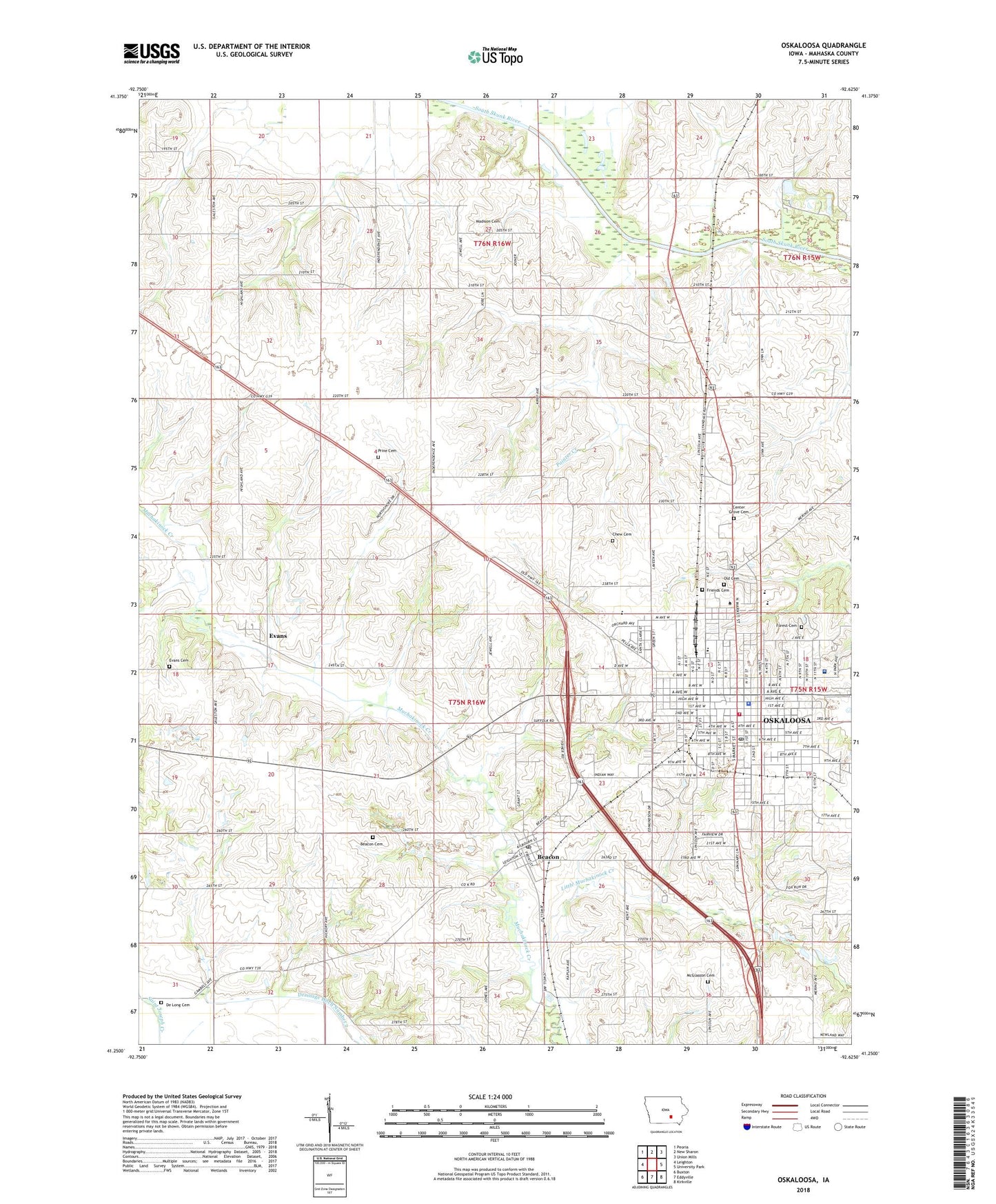
2022 topographic map quadrangle Oskaloosa in the state of Iowa. Scale: 1:24000. Based on the newly updated USGS 7.5' US Topo map series, this map is in the following counties: Mahaska. The map contains contour data, water features, and other items you are used to seeing on USGS maps, but also has updated roads and other features. This is the next generation of topographic maps. Printed on high-quality waterproof paper with UV fade-resistant inks.
Quads adjacent to this one:
West: Leighton
Northwest: Peoria
North: New Sharon
Northeast: Union Mills
East: University Park
Southeast: Kirkville
South: Eddyville
Southwest: Buxton
This map covers the same area as the classic USGS quad with code o41092c6.
Contains the following named places: A Avenue Chiropractic Clinic, Athletic complex, Beacon, Beacon Cemetery, Beacon Post Office, Beacon United Methodist Church, Bethel Baptist Church, Bethel Church, Bolton, Calvary Bible Church, Center Grove Cemetery, Central Reformed Church, Central Vision Center, Chew Cemetery, Chief Mahaska Statue, Christian Science Church, City of Beacon, City of Oskaloosa, City Square Park, College Avenue Friends Church, Dana M Atkins Memorial Union, De Long Cemetery, Dragoon Trail Historical Marker, Drainage Ditch Number 2, Edmundson Golf Course, Edmundson Park, Elmhurst Country Club, Eltse Hall, Evangelical Church, Evans, Evans Cemetery, Evans Post Office, Family Medical Center, Farmersville Post Office, Fellowship Bible Church, First Baptist Church, First Christian Church, First Christian Reformed Church, First Church of the Nazarene, First Church of the Open Bible, First Pentecostal Church, First Presbyterian Church, Forest Cemetery, Frederick Logan Historical Marker, Friends Cemetery, Garfield School, George Daily Community Auditorium, Good News Chapel, Grant School, Harvest Point Golf Course, Heartland Eye Care Center, Heartland Square Mall, Heating and Physical Plant, Hewitt Jaycee Park, Indian Hills Center, Industrial Technology Center, Iowa Orthopaedic Center, Iowa Union College, Jefferson School, Jehovahs Witnesses, Jubilee Family Church, KBoe-AM (Oskaloosa), Keating Jaycee Park, KIGC-FM (Oskaloosa), KOSK-FM (Oskaloosa), Lamson Mobile Home Park, Landmark Church of God, Lewis Hall, Lincoln School, Little Muchakinock Creek, Madison Cemetery, Mahaska County, Mahaska County Courthouse, Mahaska County Sheriffs Office, Mahaska Health Partnership, Mahaska Physicians Clinic, McGlasson Cemetery, McGrew Fine Arts Center, Old White Cemetery, Oskaloosa, Oskaloosa Bandstand, Oskaloosa Chiropractic Clinic, Oskaloosa Christian School, Oskaloosa Church of Christ, Oskaloosa City Hall, Oskaloosa College, Oskaloosa Community Church, Oskaloosa Community Church of the Christian and Missionary Alliance, Oskaloosa Elementary School, Oskaloosa Fire Department, Oskaloosa Foot Clinic, Oskaloosa Free Methodist Church, Oskaloosa High School, Oskaloosa Middle School, Oskaloosa Police Department, Oskaloosa Post Office, Oskaloosa Public Library, Oskaloosa United Methodist Church, Oskaloosa Vision Center, Oskaloosa Wastewater Plant, Oskaloosa Waterworks, Painter Creek, Penn Central Mall, Penn Hall, Peters Wildlife Area, Pierson Field Airport, Pleasant Park Estates, Prine Cemetery, Reorganized Church of Jesus Christ of Latter Day Saints, Rock Island Passenger Railroad Station, Ron Randleman Fitness Center, Roth Landing Field, Russell Wildlife Area, Saint James Episcopal Church, Saint John Lutheran Church, Saint Marys Church, Saint Paul Congregational United Church of Christ, Siesta Park Manor Retirement Home, Southern Iowa Fairgrounds, Southern Iowa Speedway, Spencer Memorial Chapel, Swim Chiropractic Care Center, Township of Garfield, Township of Lincoln, Twin Townhouses, Union Church, Vanderbilt Park, Vanderee Chiropractic Clinic, Waterworks Park, Watson Hall, Webster School, Whittier School, Wilcox Library, William Penn University, ZIP Codes: 52534, 52577


