MyTopo
Palmer Iowa US Topo Map
Couldn't load pickup availability
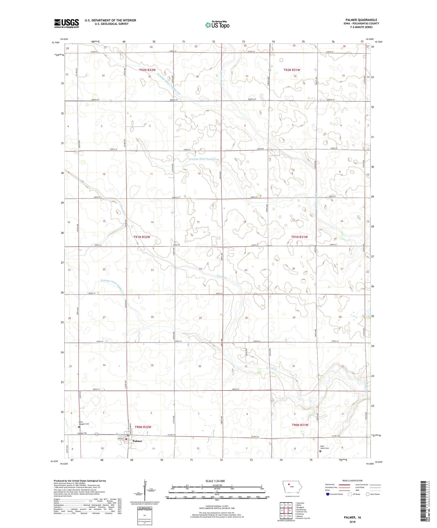
2022 topographic map quadrangle Palmer in the state of Iowa. Scale: 1:24000. Based on the newly updated USGS 7.5' US Topo map series, this map is in the following counties: Pocahontas. The map contains contour data, water features, and other items you are used to seeing on USGS maps, but also has updated roads and other features. This is the next generation of topographic maps. Printed on high-quality waterproof paper with UV fade-resistant inks.
Quads adjacent to this one:
West: Pocahontas
Northwest: Havelock
North: Rolfe
Northeast: Bradgate
East: Gilmore City
Southeast: Gilmore City SW
South: Manson
Southwest: Pomeroy
This map covers the same area as the classic USGS quad with code o42094f5.
Contains the following named places: Buda, Buda Post Office, City of Palmer, Drainage Ditch Number 116, Drainage Ditch Number 164, Drainage Ditch Number 169, Faith Lutheran Church, Lizard, New Co-op Elevator, Palmer, Palmer Fire Department, Palmer Post Office, Palmer Public Library, Palmer-Pomeroy Middle School, Saint Johns Church, Saint Johns Lutheran Cemetery, Saint Josephs Cemetery, Toben Wildlife Preserve, Township of Lake, Township of Lincoln, ZIP Code: 50571