MyTopo
Sioux City South Iowa US Topo Map
Couldn't load pickup availability
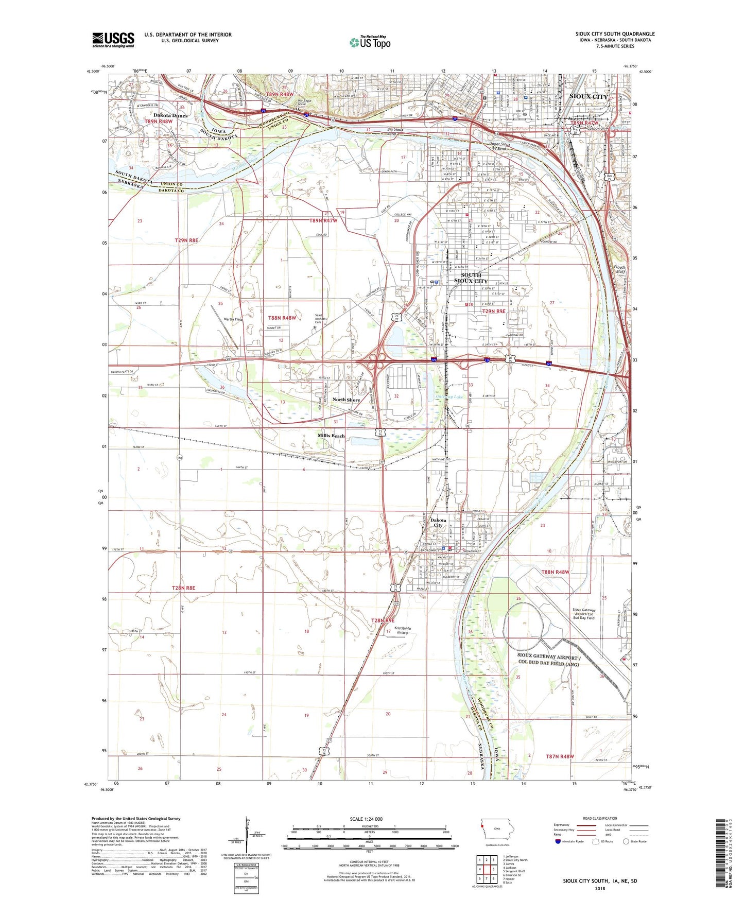
2022 topographic map quadrangle Sioux City South in the states of Nebraska, Iowa, South Dakota. Scale: 1:24000. Based on the newly updated USGS 7.5' US Topo map series, this map is in the following counties: Woodbury, Dakota, Union. The map contains contour data, water features, and other items you are used to seeing on USGS maps, but also has updated roads and other features. This is the next generation of topographic maps. Printed on high-quality waterproof paper with UV fade-resistant inks.
Quads adjacent to this one:
West: Jackson
Northwest: Jefferson
North: Sioux City North
Northeast: James
East: Sergeant Bluff
Southeast: Salix
South: Homer
Southwest: Emerson SE
Contains the following named places: ADM Growmark Elevator, Anderson Dance Pavilion, Assembly of God Church, Atokad Park, Augustana Lutheran Church, Bacon Creek, Big Sioux Bend, Big Sioux River, Bing, Bryan School, Cardinal Elementary School, Cardinal Park, Central High School, Chautauqua Park, Chautauqua Park Trail, Chief War Eagle Memorial, Chief War Eagle's Grave Historical Marker, Chris Larsen Park, Chris Larson Trail, City of Dakota City, City of Sioux City, City of South Sioux City, Continental Grain Company Elevator, Cook Park, Cottonwood Cove Park, Cottonwood Cove Park Campground, Covington, Covington Election Precinct, Covington Links Golf Course, Covington Post Office, Crystal Cove Park, Crystal Lake, Dakota Bend Wildlife Area, Dakota City, Dakota City Elementary School, Dakota City Fire and Rescue, Dakota City Post Office, Dakota City Public Library, Dakota County Courthouse, Dakota County Sheriff's Office, Dakota Covington Rural Fire District, Dakota Dunes, Dakota Dunes Census Designated Place, Dakota Dunes Country Club, Dakota Election Precinct, Dakota Family Dentistry, Department of Corrections Residential Treatment Facility, E N Swett Elementary School, Eastside Baptist Church, Emerson Elementary School, Emmanuel Lutheran Church, Evangelical Church, Everett School, Faith Missionary Church, Ferry, Finnerty, First Evangelical Free Church, First Lutheran Church, First Presbyterian Church, Floyd River, Floyd Valley Golf Course, Floyds Bluff, Franklin School, Freeway Homes, Gateway Lake, Glad Tidings Lighthouse, Grandview Medical Clinic, H and W Incorporated Elevator, Harney Elementary School, Hileman School, Hope Lutheran Church, Immanuel Lutheran Church, Independent Neurologic Consultants Center, Ips Heliport, Irving Preschool, Jehovah's Witnesses Congregation, Klasey Park, Kristijanto Airstrip, Lake Village Trailer Court, Lewis and Clark Elementary School, Lyons Park, Marian Health Center Heliport, Marian Health Center Number 2 Heliport, Marian Health Center School of Medical Technology, Marian Health Center School of Radiologic Technology, Marion Behavioral Medicine Center, Marion Health Center, Martin Field, Mercy Air Care, Mercy Medical Surgery Center, Mercy Pain Management Center, MercyOne Siouxland Medical Center, Meridian School, Metz School, Mid City Park, Millis Beach, North Shore, Open Bible Standard Church, Peavey Company Elevator, Perry Creek, Pulaski Park, Raceway Park, Raymond Park, Regency Spuare Care Center, Rivers Edge Gateway 2000 Trail, Riverside Family Practice Center, Riverside Park, Saint Casimirs Catholic Church, Saint Francis School, Saint Joseph Church, Saint Lukes Occupational Health Services, Saint Michael Catholic Church, Saint Michael School, Saint Michaels Cemetery, Saint Paul United Methodist Church, Saint Paul's Lutheran Church, Saint Pauls Lutheran School, Saint Vincent Hospital, Salem Church, Sargent Floyd Monument Historical Marker, Scenic Park, Scenic Park Campground, Sergeant Floyd Monument, Sergeant Floyd Riverboat Museum and Welcome Center, Shady Elm Trailer Court, Sioux City, Sioux City Army Air Base, Sioux City Art Center, Sioux City Auditorium, Sioux City Christian Reformed Church, Sioux City City Hall, Sioux City Convention Center, Sioux City Fire Department, Sioux City Fire Department Station 1, Sioux City Fire Rescue Department Station Number 1, Sioux City Fire Rescue Department Station Number 3, Sioux City Library, Sioux City Orpheum, Sioux City Post Office, Sioux City Public Library, Sioux City's First White Settler Historical Marker, Sioux Gateway Airport/Brigadier General Bud Day Field, Sioux Land Pathologists Center, Siouxland Gastroenterology Center, Siouxland Hematology/Oncology Center, Siouxland Internal Medicine Center, Siouxland Minor Medical, Siouxland Paramedics Medical Transport, Siouxland Radiation Partners Office, Siouxland Radiation/Oncology Center, Siouxland Regional Cancer Center, South Ridge Golf Course, South Sioux City, South Sioux City Fire Department Station 1, South Sioux City Fire Department Station 2, South Sioux City Junior High School, South Sioux City Library, South Sioux City Medical Clinic, South Sioux City Middle School, South Sioux City Police Department, South Sioux City Post Office, South Sioux City Senior High School, South Sioux City Trail, South Sioux City Trail - Arboretum Link, Southridge Plaza, Spirit of Siouxland Statue, Territorial Church Historical Marker, Theophile Brughier Log Cabin, Town Square, Transit Plaza Shopping Center, Tri-State Christian Church, United Methodist Church, Upper Sioux City Bend, Walker Island School, Walkers Colonial Manor, War Eagle Park, Webster School, Wood Park, Woodbury County Courthouse, Woodbury County Law Enforcement Center, Woodbury County Law Library, ZIP Codes: 51101, 51111, 68731, 68776


