MyTopo
Springbrook Iowa US Topo Map
Couldn't load pickup availability
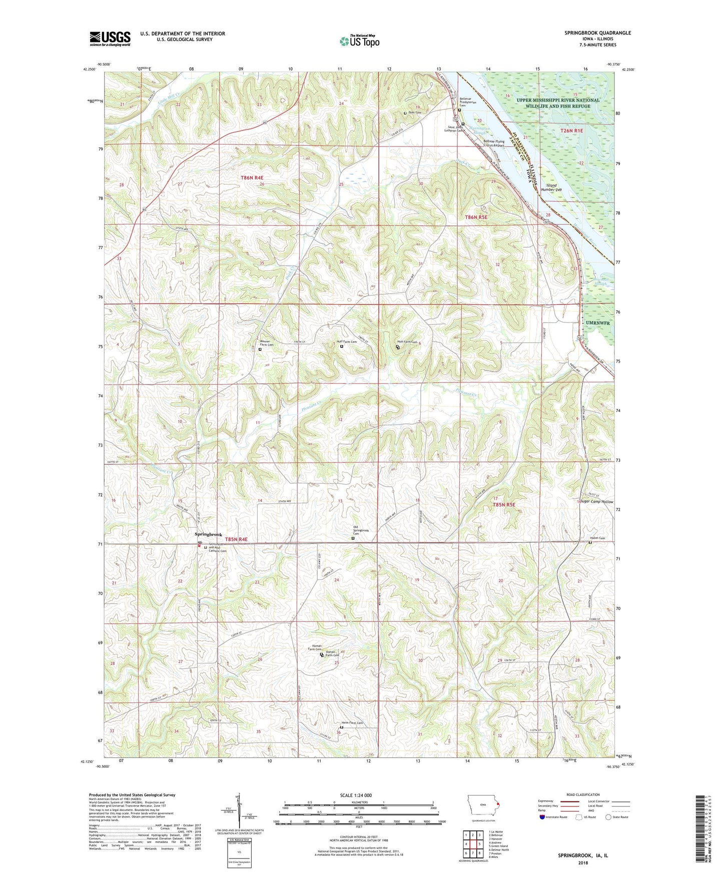
2022 topographic map quadrangle Springbrook in the states of Iowa, Illinois. Scale: 1:24000. Based on the newly updated USGS 7.5' US Topo map series, this map is in the following counties: Jackson, Jo Daviess. The map contains contour data, water features, and other items you are used to seeing on USGS maps, but also has updated roads and other features. This is the next generation of topographic maps. Printed on high-quality waterproof paper with UV fade-resistant inks.
Quads adjacent to this one:
West: Andrew
Northwest: La Motte
North: Bellevue
Northeast: Hanover
East: Green Island
Southeast: Miles
South: Preston
Southwest: Delmar North
Contains the following named places: Bellevue Butterfly Garden, Bellevue State Park, Bellvue Flying Circus Airport, City of Springbrook, Duck Creek, Duck Creek County Park, Dyas Cemetery, First Presbyterian Cemetery, Harrington Slough, Hazen Cemetery, Heim Farm Cemetery, Homan Farm Cemetery, Huff Farm Cemetery, Island Number 249, Monner Farm Cemetery, Old Springbrook Cemetery, Pleasant Creek, Pleasant Creek Use Area, Saint John's Lutheran Cemetery, Saint Peter and Paul Church, Saints Peter and Paul Cemetery, Shady Haven Camper Park and Marina, Springbrook, Springbrook Post Office, Springbrook Volunteer Fire Department, Township of Bellevue, Township of Jackson


