MyTopo
Tingley Iowa US Topo Map
Couldn't load pickup availability
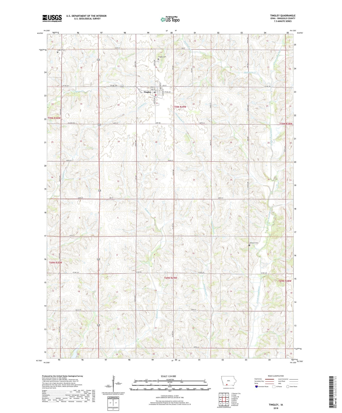
2023 topographic map quadrangle Tingley in the state of Iowa. Scale: 1:24000. Based on the newly updated USGS 7.5' US Topo map series, this map is in the following counties: Ringgold. The map contains contour data, water features, and other items you are used to seeing on USGS maps, but also has updated roads and other features. This is the next generation of topographic maps. Printed on high-quality waterproof paper with UV fade-resistant inks.
Quads adjacent to this one:
West: Diagonal
Northwest: Shannon City
North: Arispe
Northeast: Tingley NE
East: Ellston
Southeast: Kellerton
South: Mount Ayr
Southwest: Benton
This map covers the same area as the classic USGS quad with code o40094g2.
Contains the following named places: City of Tingley, Eugene Cemetery, Eugene Post Office, Hackberry Creek, Johnston Cemetery, Prairie View, Prairie View Post Office, Tingley, Tingley Cemetery, Tingley Chiropractic Clinic, Tingley Fire Department, Tingley Post Office, Township of Liberty, Township of Tingley, Triple S Exotic Animal Park, Wishard Chapel, ZIP Code: 50863