MyTopo
Ventura Heights Iowa US Topo Map
Couldn't load pickup availability
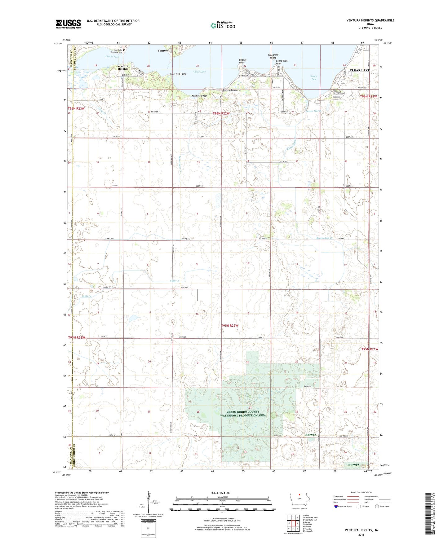
2022 topographic map quadrangle Ventura Heights in the state of Iowa. Scale: 1:24000. Based on the newly updated USGS 7.5' US Topo map series, this map is in the following counties: Cerro Gordo, Hancock. The map contains contour data, water features, and other items you are used to seeing on USGS maps, but also has updated roads and other features. This is the next generation of topographic maps. Printed on high-quality waterproof paper with UV fade-resistant inks.
Quads adjacent to this one:
West: Garner
Northwest: Miller
North: Clear Lake West
Northeast: Clear Lake East
East: Burchinal
Southeast: Swaledale
South: Thornton
Southwest: Goodell
This map covers the same area as the classic USGS quad with code o43093a4.
Contains the following named places: Arrowhead Golf Course, Bluewing Marsh, Camp Tanglefoot, Cerro Gordo County Waterfowl Production Area, Cerro Gordo Wind Farm, Clear Lake, Clear Lake State Park, Clear Lake Township Cemetery, Dodges Beach, Dodges Point, Farmers Beach, Garner - Hayfield - Ventura Intermediate School, Grand View Point, Green Meadows Mobile Home Park, KLKK-FM (Clear Lake), KZEV-FM (Clear Lake), Lake Side Church, Lakeside Acres Mobile Park, Lekwa Marsh, Lekwa Marsh Public Hunting Area, Lloyd's Field, Lone Tree Point, Oak Hills Golf Course, Oakwood RV Park, Open Bible Camp Grounds, Park Post Office, Pine Tree Park, PM Odd Fellows Park, Redeemer Lutheran Church, South Bay, Sunset Bay Marina, Tourist Park, Township of Clear Lake, Township of Union, Twin Oaks Campgrounds, Union Hills Wildlife Management Area, Ventura Heights, Ventura Marsh Wildlife Management Area, Woodford Island, ZIP Code: 50482


