MyTopo
Caldwell NW Kansas US Topo Map
Couldn't load pickup availability
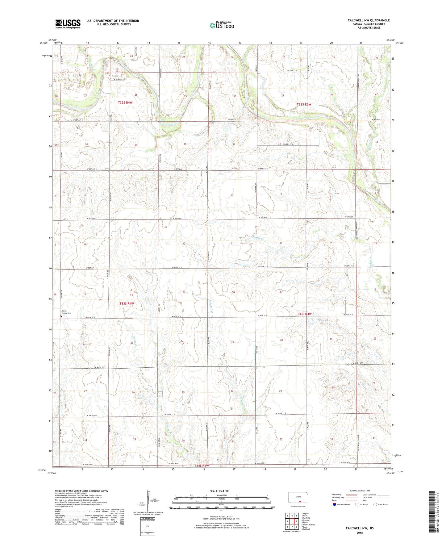
2022 topographic map quadrangle Caldwell NW in the state of Kansas. Scale: 1:24000. Based on the newly updated USGS 7.5' US Topo map series, this map is in the following counties: Sumner. The map contains contour data, water features, and other items you are used to seeing on USGS maps, but also has updated roads and other features. This is the next generation of topographic maps. Printed on high-quality waterproof paper with UV fade-resistant inks.
Quads adjacent to this one:
West: Freeport
Northwest: Argonia
North: Milan
Northeast: Mayfield
East: Perth
Southeast: Caldwell
South: Doster
Southwest: Bluff City East
This map covers the same area as the classic USGS quad with code o37097b6.
Contains the following named places: Beaver Creek, Morris Center Cemetery, Shore Creek, Spring Creek, Township of Chikaskia, Township of Morris, Walta Oil Field, Yarnell Northeast Oil and Gas Field, Yarnell Oil and Gas Field, ZIP Code: 67105