MyTopo
Canton SW Kansas US Topo Map
Couldn't load pickup availability
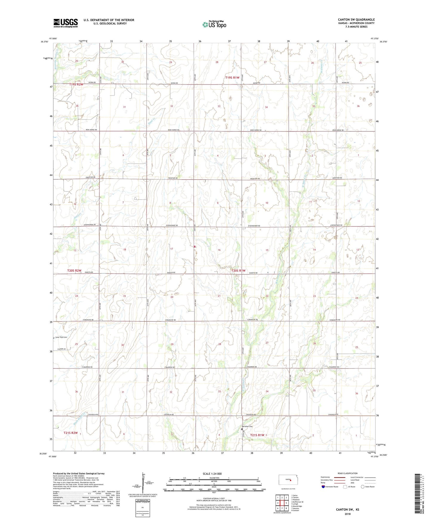
2022 topographic map quadrangle Canton SW in the state of Kansas. Scale: 1:24000. Based on the newly updated USGS 7.5' US Topo map series, this map is in the following counties: McPherson. The map contains contour data, water features, and other items you are used to seeing on USGS maps, but also has updated roads and other features. This is the next generation of topographic maps. Printed on high-quality waterproof paper with UV fade-resistant inks.
Quads adjacent to this one:
West: McPherson SE
Northwest: Galva
North: Canton
Northeast: Waldeck
East: Lehigh
Southeast: Goessel
South: Hesston
Southwest: Moundridge
This map covers the same area as the classic USGS quad with code o38097c4.
Contains the following named places: German Evangelical Lutheran Cemetery, Immanuel Lutheran Church, Lone Tree Cemetery, Lone Tree Church, McPherson County Rural Fire District 1 Station 3, Spring Valley, Spring Valley Mennonite Church, Spring Valley Oil Field, Spring Valley School, Sunny Hill School, Township of Spring Valley, ZIP Code: 67428