MyTopo
Castleton Kansas US Topo Map
Couldn't load pickup availability
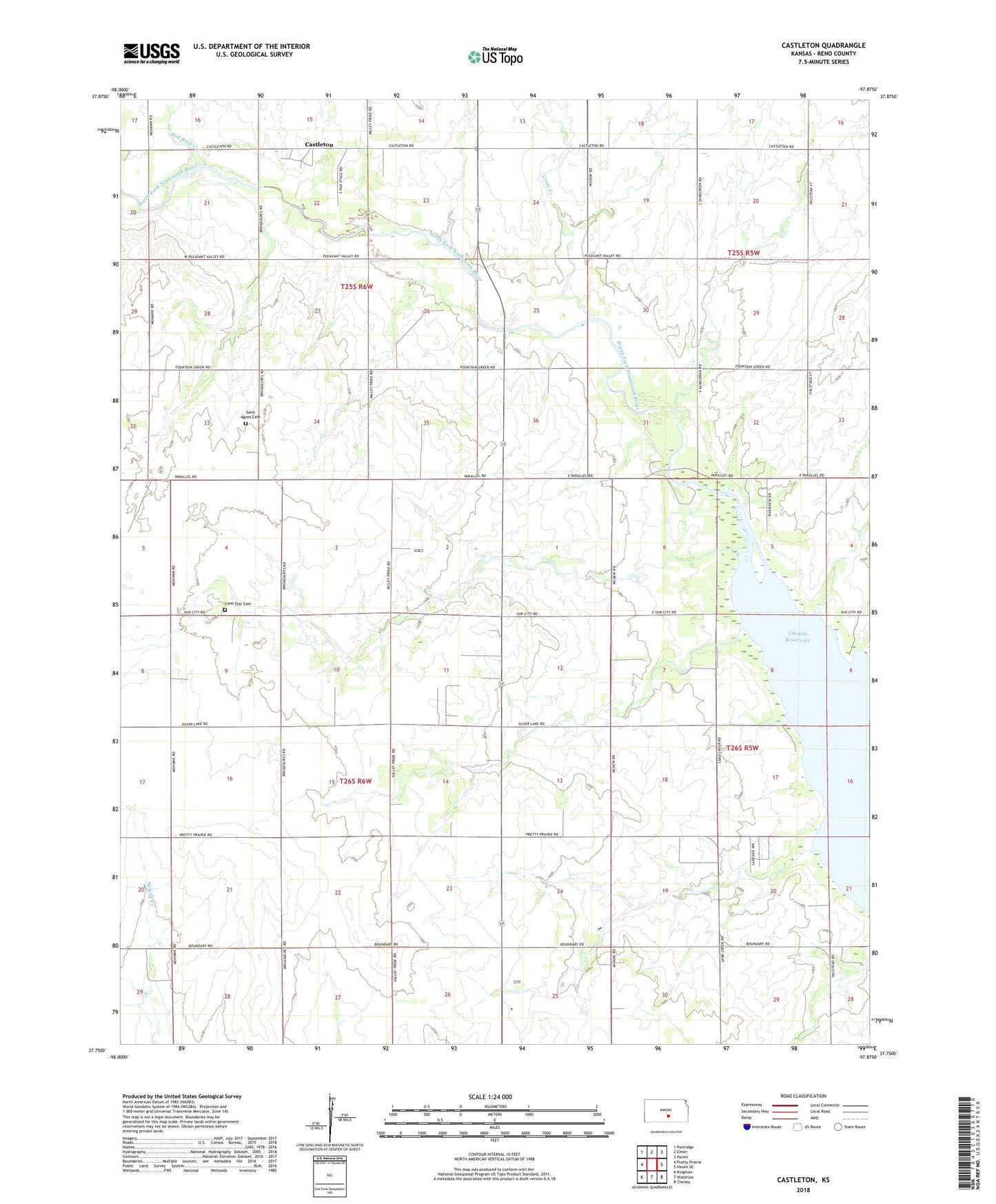
2022 topographic map quadrangle Castleton in the state of Kansas. Scale: 1:24000. Based on the newly updated USGS 7.5' US Topo map series, this map is in the following counties: Reno. The map contains contour data, water features, and other items you are used to seeing on USGS maps, but also has updated roads and other features. This is the next generation of topographic maps. Printed on high-quality waterproof paper with UV fade-resistant inks.
Quads adjacent to this one:
West: Pretty Prairie
Northwest: Partridge
North: Elmer
Northeast: Haven
East: Haven SE
Southeast: Cheney
South: Waterloo
Southwest: Kingman
This map covers the same area as the classic USGS quad with code o37097g8.
Contains the following named places: Albion North Oil Field, Blue River Wildlife Area, Castleton, Crow Creek, First Mennonite Church, KCVW - FM (Pretty Prairie), Lone Star Cemetery, Purity, Red Rock Creek, Saint Agnes Cemetery, Team Marketing Alliance Grain Elevator Number 9, Township of Albion, Township of Castleton, ZIP Code: 67570