MyTopo
Clinton Kansas US Topo Map
Couldn't load pickup availability
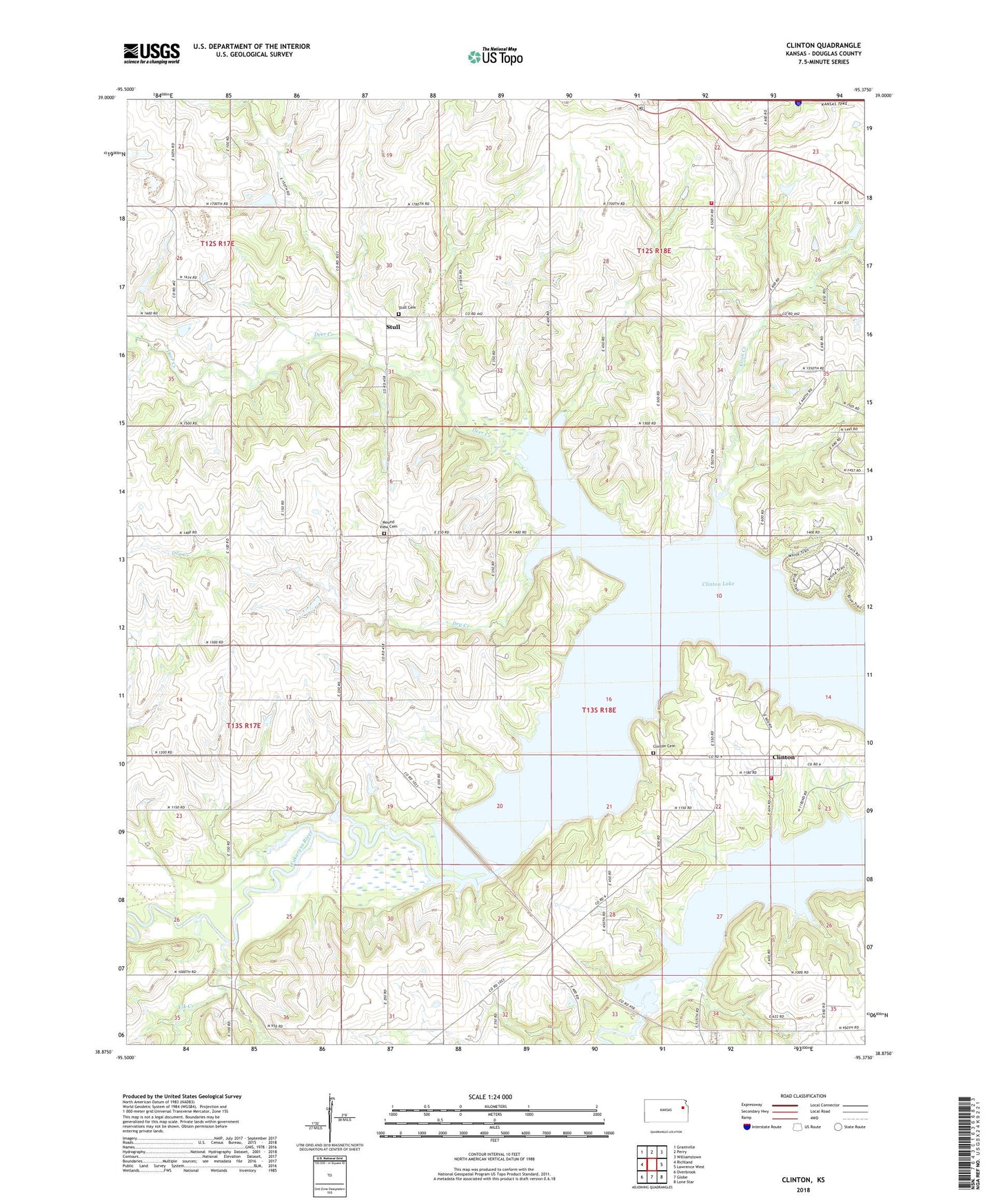
2022 topographic map quadrangle Clinton in the state of Kansas. Scale: 1:24000. Based on the newly updated USGS 7.5' US Topo map series, this map is in the following counties: Douglas. The map contains contour data, water features, and other items you are used to seeing on USGS maps, but also has updated roads and other features. This is the next generation of topographic maps. Printed on high-quality waterproof paper with UV fade-resistant inks.
Quads adjacent to this one:
West: Richland
Northwest: Grantville
North: Perry
Northeast: Williamstown
East: Lawrence West
Southeast: Lone Star
South: Globe
Southwest: Overbrook
This map covers the same area as the classic USGS quad with code o38095h4.
Contains the following named places: Belvoir, Belvoir School, Clinton, Clinton Cemetery, Clinton Lake, Clinton Township Fire Department, Coon Creek, Deer Creek, Deer Creek School, Dry Creek, Elk Creek, Kanawaka Township Fire Department, Mound View Cemetery, Stull, Stull Cemetery, Township of Clinton, Township of Kanwaka, Yarnold School