MyTopo
Conway Kansas US Topo Map
Couldn't load pickup availability
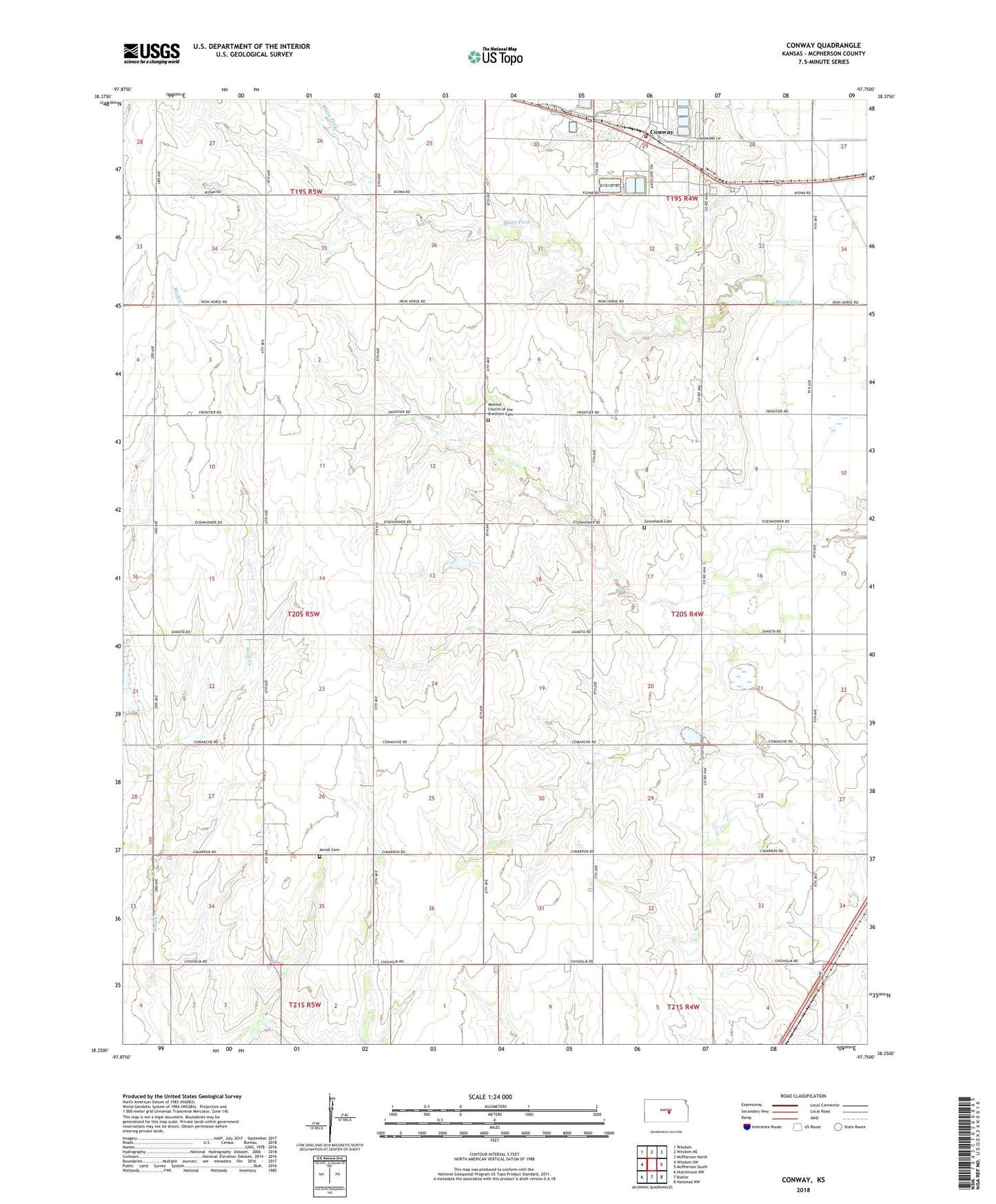
2022 topographic map quadrangle Conway in the state of Kansas. Scale: 1:24000. Based on the newly updated USGS 7.5' US Topo map series, this map is in the following counties: McPherson. The map contains contour data, water features, and other items you are used to seeing on USGS maps, but also has updated roads and other features. This is the next generation of topographic maps. Printed on high-quality waterproof paper with UV fade-resistant inks.
Quads adjacent to this one:
West: Windom SW
Northwest: Windom
North: Windom NE
Northeast: McPherson North
East: McPherson South
Southeast: Halstead NW
South: Buhler
Southwest: Hutchinson NW
This map covers the same area as the classic USGS quad with code o38097c7.
Contains the following named places: Amish Cemetery, Conway, Groveland Cemetery, McPherson County Rural Fire District 4 Conway, Monitor, Monitor Church of the Brethren, Monitor Church of the Brethren Cemetery, Plainview School, Saint Joseph School, Team Marketing Alliance Grain Elevator Number 10, Township of Groveland, Township of Hayes, West Liberty Church, Westfield, Zion Church