MyTopo
McPherson South Kansas US Topo Map
Couldn't load pickup availability
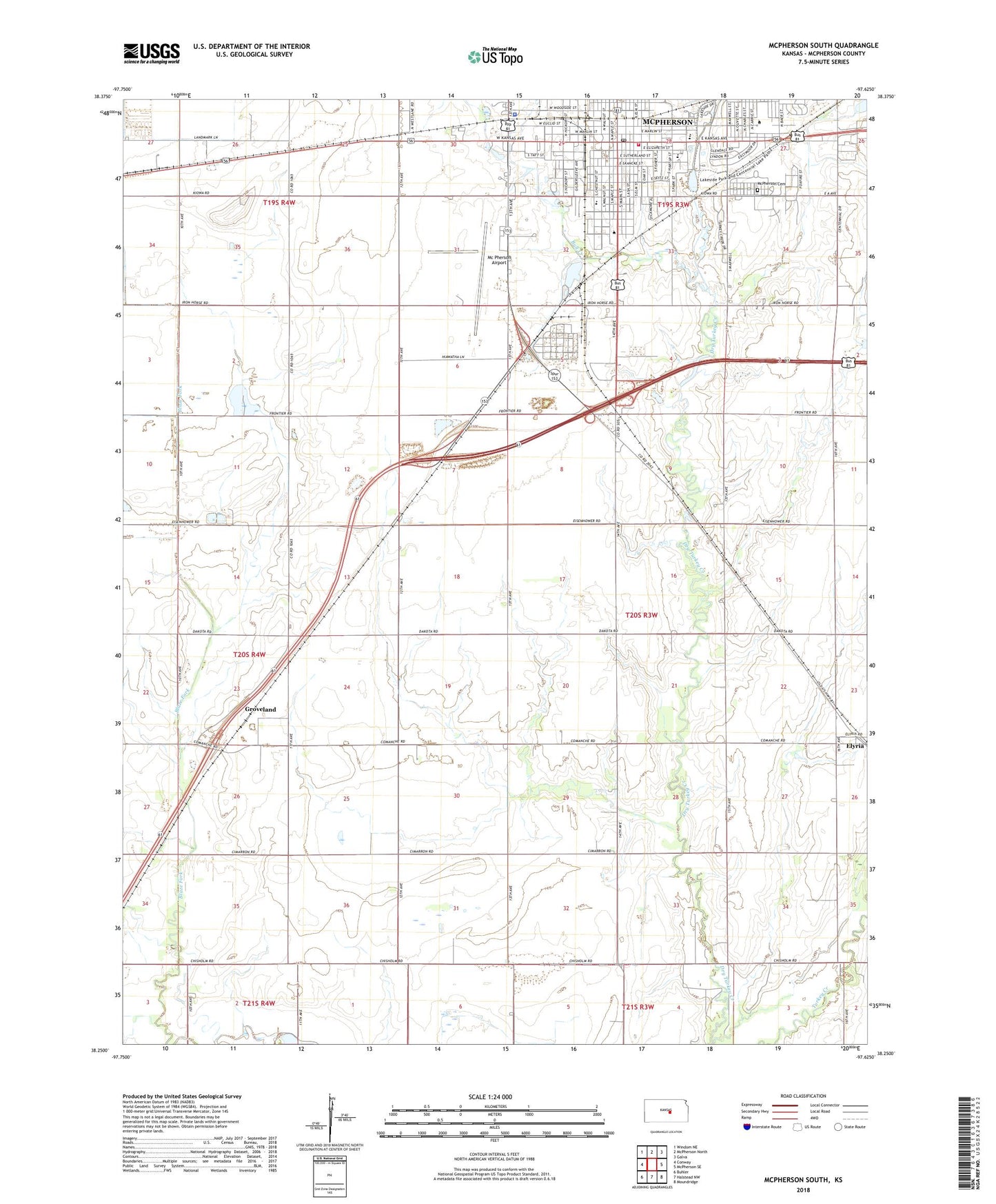
2022 topographic map quadrangle McPherson South in the state of Kansas. Scale: 1:24000. Based on the newly updated USGS 7.5' US Topo map series, this map is in the following counties: McPherson. The map contains contour data, water features, and other items you are used to seeing on USGS maps, but also has updated roads and other features. This is the next generation of topographic maps. Printed on high-quality waterproof paper with UV fade-resistant inks.
Quads adjacent to this one:
West: Conway
Northwest: Windom NE
North: McPherson North
Northeast: Galva
East: McPherson SE
Southeast: Moundridge
South: Halstead NW
Southwest: Buhler
This map covers the same area as the classic USGS quad with code o38097c6.
Contains the following named places: Athletic Park, Bull Creek, Calvary Baptist Church, Central Christian College of Kansas, Central Christian College of Kansas Briner Library, Central Christian College of Kansas Broadhurst Student Center, Central Christian College of Kansas Ed Pyle Sports Complex, Central Christian College of Kansas Gillespie Hall, Central Christian College of Kansas Kline Hall, Central Christian College of Kansas Mingenback Family Life Center, Central Christian College of Kansas Science Hall, Central Christian College of Kansas Stoll Hall, Central Christian College of Kansas Wesley Black Fine Arts Center, CFP Grain Elevator Number 1, Church of Christ, Church of the Brethren, City Fellowship Church, City of McPherson, Crossroads Assembly of God Church, Early Childhood Center, Elyria, Elyria Census Designated Place, Elyria Oil Field, First Baptist Church, First Christian Church, First Church of Christ Scientist, First Congregational United Church of Christ, First Mennonite Church, Groveland, Groveland Christian Church, Groveland Northeast Oil Field, Groveland South Oil Field, Johnson Oil Field, Kansas Highway Patrol Troop C, KBBE - FM (McPherson), Kingdom Hall of Jehovah's Witnesses, KNEX-AM (McPherson), KNEX-FM (McPherson), KNGL - AM (McPherson), Lakeside Park, Linmea Park, McPherson, McPherson Airport, McPherson Apostolic Church, McPherson Cemetery, McPherson Chamber of Commerce, McPherson Church of Christ, McPherson City Hall, McPherson College, McPherson College Beeghly Hall, McPherson College Bittinger Hall, McPherson College Dotzour Residence Hall, McPherson College Hess Fine Arts Center, McPherson College Hoffman Student Union, McPherson College Melhorn Science Hall, McPherson College Metzler Residence Hall, McPherson College Miller Library, McPherson College Mingenback Theatre, McPherson College Mohler Hall, McPherson College Morrison Hall, McPherson College Templeton Hall, McPherson County Courthouse, McPherson County Jail, McPherson County Office, McPherson County Sheriff's Office, McPherson Family YMCA, McPherson Fire Department, McPherson First United Methodist Church, McPherson Free Methodist Church, McPherson Middle School, McPherson Museum, McPherson Opera House, McPherson Police Department, McPherson Post Office, McPherson Public Library, McPherson Seventh Day Adventist Church, McPherson Wastewater Treatment Plant, McPherson Water Park, Memorial Park, Morning Star Missionary Baptist Church, Mustang Mobile Park, Park Elementary School, Roosevelt Elementary School, Saint Anne's Episcopal Church, Santa Fe Elementary School, Sunflower Triangle, Sycamore Park, Team Marketing Alliance Grain Elevator Number 11, Team Marketing Alliance Grain Elevator Number 16, Team Marketing Alliance Grain Elevator Number 27, Township of King City, Trinity Lutheran Church, Turkey Creek Golf Course, Voshell Oil Field, Walden College, Wall Bicentennial Park, Washington Elementary School, Wickersham School, Word of Faith Fellowship