MyTopo
Gladstone Kansas US Topo Map
Couldn't load pickup availability
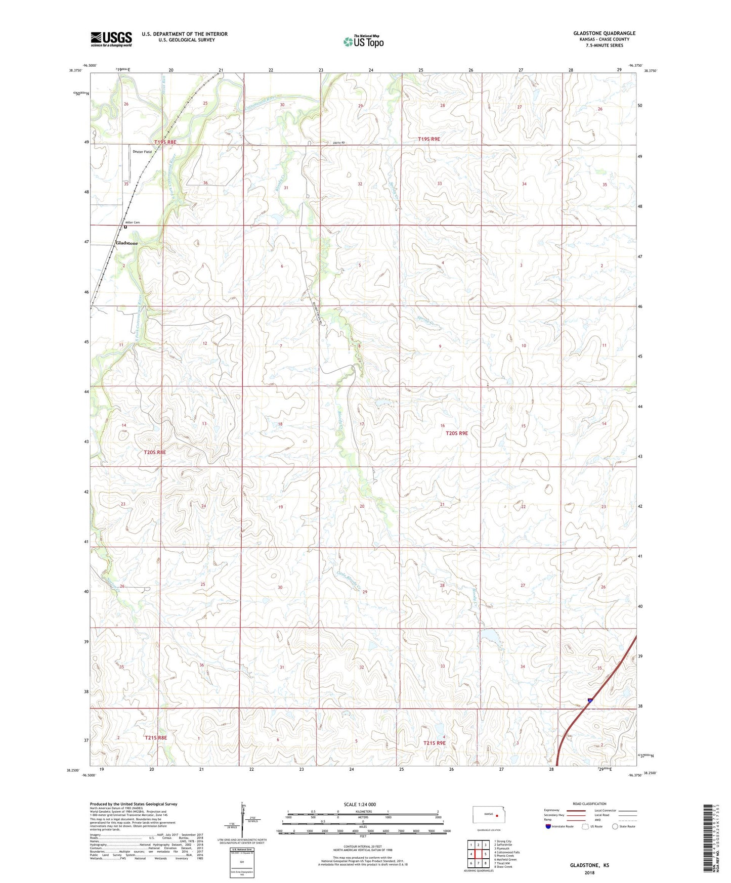
2022 topographic map quadrangle Gladstone in the state of Kansas. Scale: 1:24000. Based on the newly updated USGS 7.5' US Topo map series, this map is in the following counties: Chase. The map contains contour data, water features, and other items you are used to seeing on USGS maps, but also has updated roads and other features. This is the next generation of topographic maps. Printed on high-quality waterproof paper with UV fade-resistant inks.
Quads adjacent to this one:
West: Cottonwood Falls
Northwest: Strong City
North: Saffordville
Northeast: Plymouth
East: Phenis Creek
Southeast: Shaw Creek
South: Thrall NW
Southwest: Matfield Green
This map covers the same area as the classic USGS quad with code o38096c4.
Contains the following named places: Bloody Creek, Dexter Field, Gladstone, Little Bloody Creek, Miller Cemetery, Norton Creek, South Fork Cottonwood River, Spring Creek, Stout Run