MyTopo
Hargrave Kansas US Topo Map
Couldn't load pickup availability
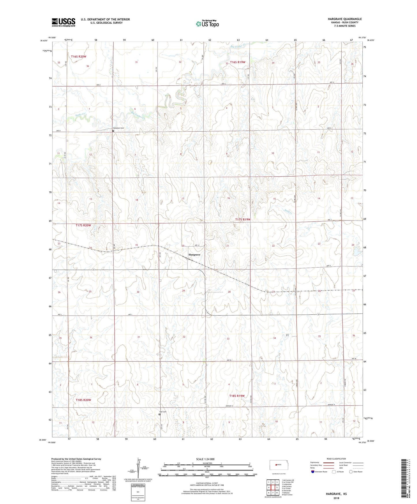
2022 topographic map quadrangle Hargrave in the state of Kansas. Scale: 1:24000. Based on the newly updated USGS 7.5' US Topo map series, this map is in the following counties: Rush. The map contains contour data, water features, and other items you are used to seeing on USGS maps, but also has updated roads and other features. This is the next generation of topographic maps. Printed on high-quality waterproof paper with UV fade-resistant inks.
Quads adjacent to this one:
West: McCracken
Northwest: McCracken NE
North: La Crosse NW
Northeast: Liebenthal
East: La Crosse
Southeast: Rush Center
South: Nekoma
Southwest: Alexander
This map covers the same area as the classic USGS quad with code o38099e4.
Contains the following named places: Hall Cemetery, Hampton, Hampton Cemetery, Hargrave, Snake Creek, West Point